Période

19 résultats pour : 1681 - 1803

  • Page
  • sur
  • 1
Connectez-vous pour plus de résultats
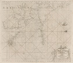
Sea chart of part of the coast of Brittany, Anonymous, Johannes van Keulen (I), unknown, 1681 -
LZT16A27_385

Sea chart of part of the coast of Brittany, Anonym...

Sea chart of part of the south coast of Brittany, Anonymous, Johannes van Keulen (I), unknown, 1681
LZT16A27_394

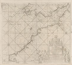
Sea chart of part of the south coast of Brittany, ...

Sea chart of the coast of Ireland, Scotland, England and France, Jan Luyken, Anonymous, Johannes
LZT16A27_403

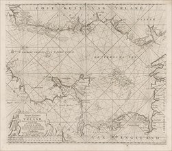
Sea chart of the coast of Ireland, Scotland, Engla...

Sea map of part of the south coast of Portugal and Spain with the Algarve and Andalucia, Jan
LZT16A27_384

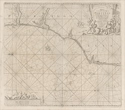
Sea map of part of the south coast of Portugal and...

Map of the west coast of Brittany, Anonymous, Claes Jansz Voogt, Johannes van Keulen (I), 1681 -
LZT16A27_395

Map of the west coast of Brittany, Anonymous, Clae...
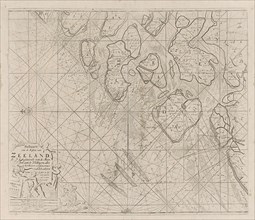
Sea chart of the Zeeland Islands and part of the North Sea, Jan Luyken, Anonymous, Johannes van
LZT16A27_405

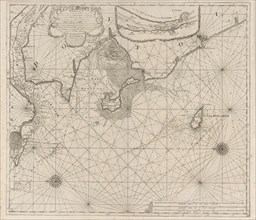
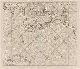
Sea chart of the Zeeland Islands and part of the N...
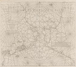
Sea chart of the Strait of Gibraltar, Anonymous, Johannes van Keulen (II), 1681 - 1803
LZT16A27_440

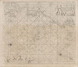
Sea chart of the Strait of Gibraltar, Anonymous, J...

Sea chart of the coast of France between the island of Groix and the municipality of La
LZT16A27_393

Sea chart of the coast of France between the islan...

Sea chart of part of the east coast of England at the mouth of the Thames, Jan Luyken, Anonymous,
LZT16A27_404

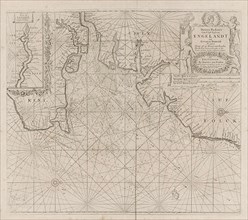
Sea chart of part of the east coast of England at ...

Sea chart of the Atlantic Ocean to the west coast of Europe and parts of Africa, Jan Luyken,
LZT16A27_408

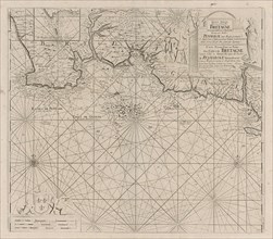
Sea chart of the Atlantic Ocean to the west coast ...

Sea chart of the Bristol Channel, Jan Luyken, Anonymous, Johannes van Keulen (I), 1681-1803
LZT16A27_399

Sea chart of the Bristol Channel, Jan Luyken, Anon...

Sea chart of the River Gironde to Bordeaux, Anonymous, Johannes van Keulen (I), Johannes van Keulen
LZT16A27_391

Sea chart of the River Gironde to Bordeaux, Anonym...

Sea chart of part of the Irish Sea between Ireland and Britain, and the St George's Channel, with
LZT16A27_398

Sea chart of part of the Irish Sea between Ireland...

Sea chart of part of the south coast of Portugal, Jan Luyken, Anonymous, Johannes van Keulen (I),
LZT16A27_388

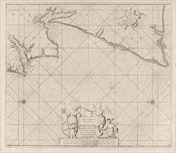
Sea chart of part of the south coast of Portugal, ...

Sea chart of the coast of Holland between Texel and the Meuse, Jan Luyken, Anonymous, Johannes van
LZT16A27_406

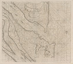
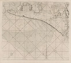
Sea chart of the coast of Holland between Texel an...

Sea chart of a portion of the south coast of Portugal, Jan Luyken, print maker: Anonymous, Johannes
LZT16A27_387

Sea chart of a portion of the south coast of Portu...

Map of part of the south coast of Ireland, Jan Luyken, print maker: Anonymous, Johannes van Keulen
LZT16A27_396

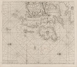
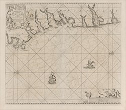
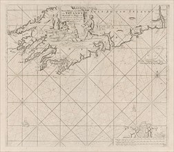
Map of part of the south coast of Ireland, Jan Luy...
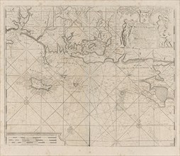
Sea map of part of the coast of Portugal, Jan Luyken, Anonymous, Johannes van Keulen I, 1681-1803
LZT16A27_386

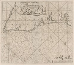
Sea map of part of the coast of Portugal, Jan Luyk...

Sea chart of a portion of the west coast of Ireland, Jan Luyken, Anonymous, Johannes van Keulen
LZT16A27_397

Sea chart of a portion of the west coast of Irelan...