17378 résultats pour : seas
- Page
-
- sur
- 174
Connectez-vous pour plus de résultats
HRM19C02_464
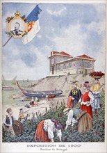
The Portuguese pavilion at the Universal Exhibitio...
HRM26A22_025
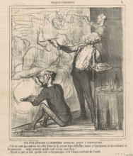
Vue d'un atelier la dernière semaine avant l'expos...
HRM26A23_356
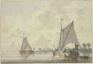
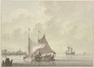
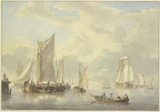
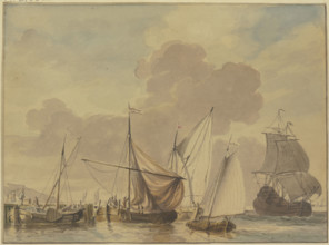
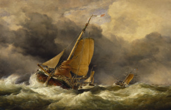
Two ships sailing on a very wide river, a church o...
HRM26A23_403
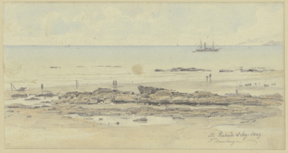
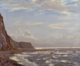
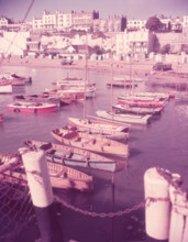
Coast near Saint Leonards-on-Sea, 1849. Creator: F...
HRM26A25_258
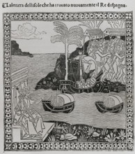
Christopher Columbus, (1451-1506), Navigator, cart...
HRM26A26_250
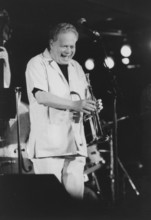
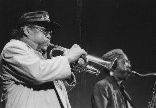
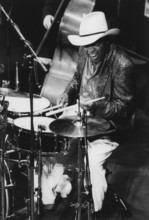
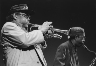
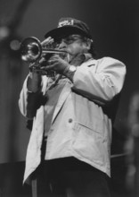
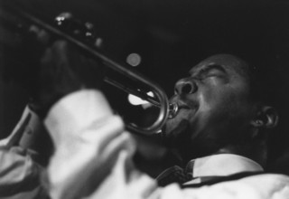
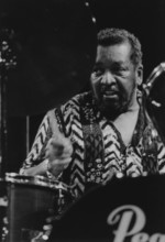
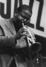
Red Rodney, North Sea Jazz Festival, Netherlands, ...
HRM26A26_268
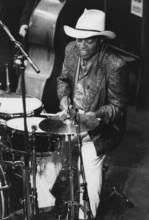
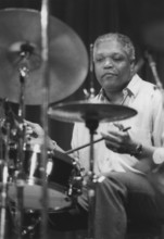
Roy Haynes, North Sea Jazz Festival, 1993. Creator...
HRM26A26_470
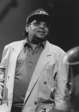
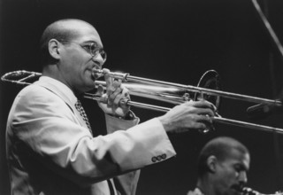
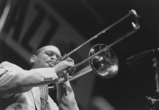
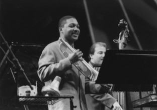
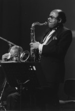
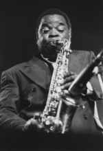
David Sanchez, Slide Hampton's Jazz Masters, North...
HRM26A27_172
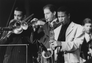
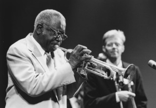
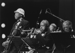
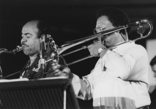
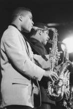
Nat Adderley and Jimmy Heath, North Sea Jazz Festi...
HRM26A27_181
Nat Adderley, North Sea Jazz Festival, 1994. Creat...
HRM26A28_336
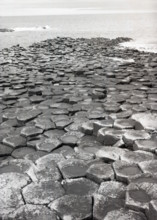
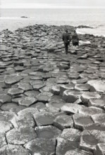
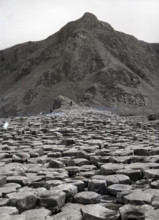
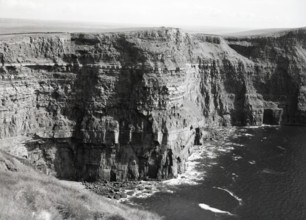
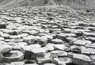
Giant's Causeway, County Antrim, Northern Ireland,...
HRM26A21_425
Vue d'un atelier la dernière semaine avant l'expos...
HRM26A23_357
Two ships lie side by side, one is having its sail...
HRM26A23_490
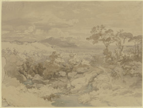
Italian landscape, 19th century. Creator: Eduard W...
HRM26A24_419
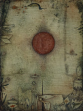
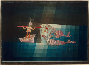
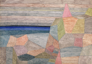
Ad marginem, (On the Edge), 1930. Creator: Paul Kl...
HRM26A25_237
Spanish scientific commission observing the passag...
HRM26A25_439
Facade of the town hall, Odessa, Ukraine, 2011. C...
HRM26A26_269
Roy Haynes, North Sea Jazz Festival, 1993. Creator...
HRM26A26_317
Wallace Davenport, North Sea Jazz Festival, Nether...
HRM26A26_383
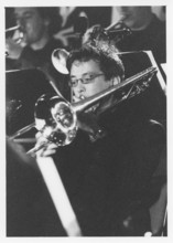
Bert Boeren, Jazz Orchestra of the Concertgebouw, ...
HRM26A26_449
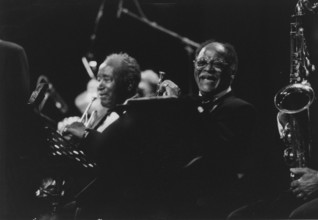
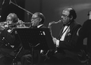
Clark Terry, Harry "Sweets" Edison, Al Grey, Lione...
HRM26A26_471
Delfeayo Marsalis, North Sea Jazz Festival, 1993. ...
HRM26A27_136
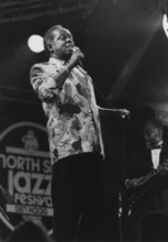
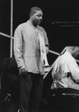
Lou Rawls, North Sea Jazz Festival, 1992. Creator:...
HRM26A27_173
Nat Adderley and Jimmy Heath, North Sea Jazz Festi...
HRM26A27_180
Nat Adderley, North Sea Jazz Festival, 1994. Creat...
HRM26A27_240
Study of wooden houses on a beach at sunset, (Holl...
HRM26A27_339
Morning Glitter, Isle of Wight, c 1929. Creator: A...
HRM26A28_337
Giant's Causeway, County Antrim, Northern Ireland,...
HRM26A23_255
Calm sea with many ships, in the foreground a boat...
HRM26A23_358
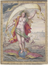
Floating Female figure on a winged sphere resting ...
HRM26A25_256
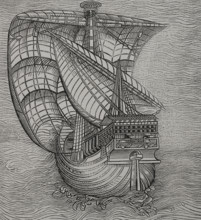
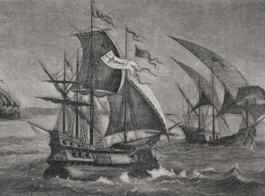
Lateen sail caravel, late 15th-century ship, 1892....
HRM26A26_266
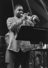
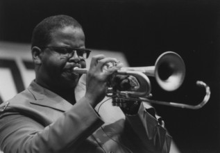
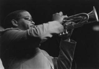
Roy Hargrove, North Sea Jazz Festival, 1994. Creat...
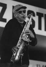
HRM26A26_288
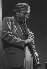
Teddy Edwards, North Sea Jazz Festival, Netherland...
HRM26A26_318
Wallace Davenport, North Sea Jazz Festival, Nether...
HRM26A26_329
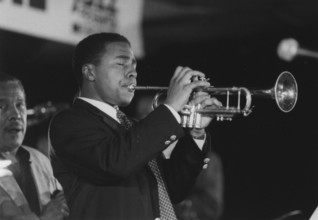
Wynton Marsalis, North Sea Jazz Festival, 1995. Cr...
HRM26A26_391
Billy Hart, North Sea Jazz Festival, Netherlands, ...
HRM26A26_437
Chico Hamilton, North Sea Jazz Festival, Netherlan...
HRM26A26_446
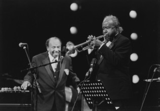
Clark Terry and Harry "Sweets" Edison, Lionel Hamp...
HRM26A26_463
Dave Brubeck, North Sea Jazz Festival, Netherlands...
HRM26A26_472
Delfeayo Marsalis, North Sea Jazz Festival, 1993. ...
HRM26A27_082
Joe Lovano, North Sea Jazz Festival, Netherlands, ...
HRM26A27_405
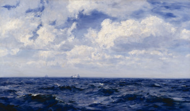
Summer Breeze in the Channel, 1893. Creator: Henry...
HRM26A28_100
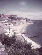
Ventnor, Isle of Wight, c1955. Creator: Arthur Cha...
HRM26A28_316
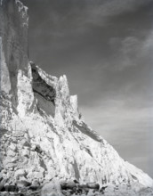
Beachy Head, Sussex, c1955. Creator: Arthur Charle...
HRM26A28_329
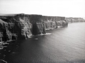
Cliffs of Moher, County Clare, Ireland, c1955. Cre...
HRM26A28_338
Giant's Causeway, County Antrim, Northern Ireland,...
HRM26A21_335
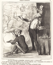
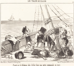
Ayant eu la fâcheuse idée d'aller faire une petite...
HRM26A23_254
Rough sea with many ships, a large ship is loading...
HRM26A24_028
Navy with five ships in the foreground, 18th centu...
HRM26A24_093
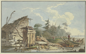
Timber cabins on the wooded seashore, a boat with ...
HRM26A24_111
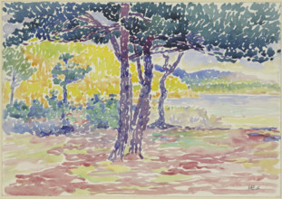
Seashore (southern France), late 19th century. Cre...
HRM26A24_461
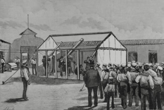
Battle Scene from the Comic-Fantastic Opera 'The S...
HRM26A25_257
The three ships of Columbus: the caravel Niña, the...
HRM26A25_303
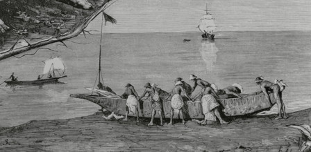
Bubis launching a canoe into the water, Concepcion...
HRM26A25_470
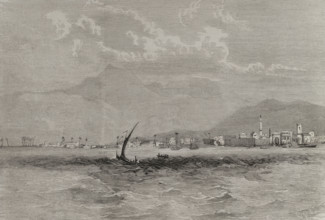
Panoramic view of Larnaca, Cyprus, 1878. Creator:...
HRM26A26_267
Roy Hargrove, North Sea Jazz Festival, 1994. Creat...
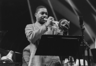
HRM26A26_289
Terence Blanchard, North Sea Jazz Festival, 1994. ...
HRM26A26_328
Wynton Marsalis, North Sea Jazz Festival, 1995. Cr...
HRM26A26_346
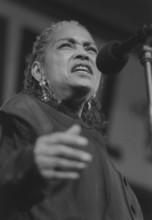
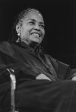
Abbey Lincoln, North Sea Jazz Festival, Netherland...
HRM26A26_372
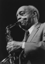
Benny Carter, North Sea Jazz Festival, Netherlands...
HRM26A26_390
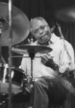
Billy Hart, North Sea Jazz Festival, Netherlands, ...
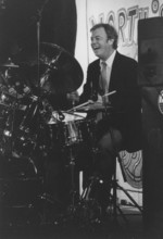
HRM26A26_429
Butch Miles, North Sea Jazz Festival, Netherlands,...
HRM26A26_436
Charles Lloyd, North Sea Jazz Festival, 1993. Crea...
HRM26A26_462
Curtis Fuller, Benny Golson, North Sea Jazz Festiv...
HRM26A26_473
Delfeayo Marsalis, North Sea Jazz Festival, 1993. ...
HRM26A27_269
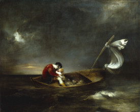
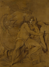
Prospero and Miranda, 1803. Creator: Henry Thomson...
HRM26A27_462
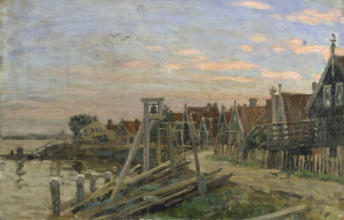
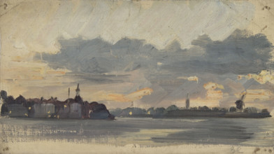
Sketch of a coastal town in Holland, early evening...
HRM26A28_328
Cliffs of Moher, County Clare, Ireland, c1955. Cre...
HRM26A28_339
Giant's Causeway, County Antrim, Northern Ireland,...
HRM26A23_267
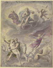
Neptune and Amphitrite with sea gods, horses, and ...
HRM26A24_422
Promontorio Ph., 1933. Creator: Paul Klee.
HRM26A25_245
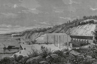
Muggiano Polygon, (La Spezia), Italy, 1883. Creato...
HRM26A26_263
Roy Hargrove, North Sea Jazz Festival, 1994. Creat...
HRM26A26_290
Terence Blanchard, North Sea Jazz Festival, 1994. ...
HRM26A26_331
Wynton Marsalis, North Sea Jazz Festival, 1995. Cr...
HRM26A26_342
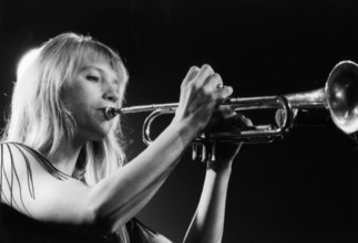
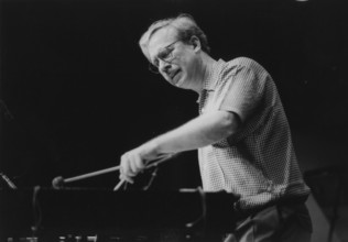
Saskia Laroo, North Sea Jazz Festival, The Hague, ...
HRM26A26_378
Benny Golson, Lionel Hampton and his Golden Men of...
HRM26A26_421
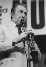
Buddy de Franco, North Sea Jazz Festival, Netherla...
HRM26A26_452
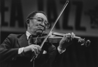
Claude Williams, North Sea Jazz Festival, Netherla...
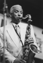
HRM26A26_466
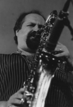
David Sanchez, North Sea Jazz Festival, 1993. Crea...
HRM26A27_022
Gary Burton, North Sea Jazz Festival, Netherlands,...
HRM26A27_076
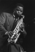
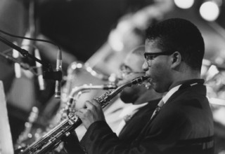
Jimmy Heath, North Sea Jazz Festival, Netherlands,...
HRM26A27_132
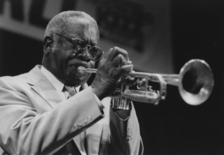
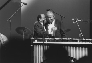
Lionel Hampton and Harry "Sweets" Edison, Lionel H...
HRM26A27_141
Maceo Parker, North Sea Jazz Festival, 2001. Creat...
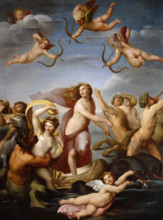
HRM26A27_437
The Triumph of Galatea, late 18th century or early...
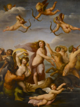
HRM26A28_010
The Triumph of Galatea, (early 19th century?). Cre...
HRM26A28_098
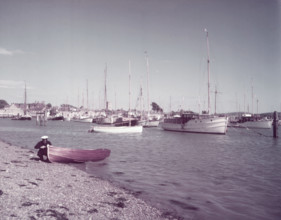
Yarmouth, Isle of Wight, c1955. Creator: Arthur Ch...
HRM26A28_188
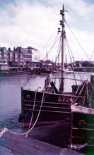
Lowestoft, Suffolk, c1955. Creator: Arthur Charles...
HRM26A28_379
Broadstairs, Kent, c1955. Creator: Arthur Charles...
HRM26A25_125
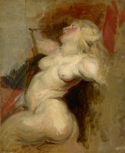
Nereid, 1822. Creator: Eugene Delacroix.
HRM26A26_291
Terence Blanchard, North Sea Jazz Festival, 1994. ...
HRM26A26_330
Wynton Marsalis, North Sea Jazz Festival, 1995. Cr...
HRM26A26_343
Abbey Lincoln, North Sea Jazz Festival, Netherland...
HRM26A26_379
Benny Golson, Lionel Hampton and his Golden Men of...
HRM26A26_467
David Sanchez, North Sea Jazz Festival, 1993. Cre...
HRM26A27_133
Lionel Hampton, Harry "Sweets" Eddison, North Sea ...
HRM26A27_140
Maceo Parker, North Sea Jazz Festival, 2001. Creat...
HRM26A27_412
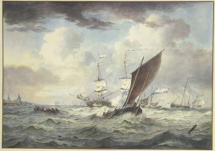
Scheveningen Pincks off the Coast of Yarmouth, 186...
HRM26A27_491
Thetis bringing the Armour to Achilles, 1805. Crea...
HRM26A28_189
Lowestoft, Suffolk, c1955. Creator: Arthur Charles...
- Page
-
- sur
- 174