12 résultats pour : topography
- Page
-
- sur
- 1
Connectez-vous pour plus de résultats

GLS25A04_231
Western and Central United States on vintage globe...

GLS25A04_230
West Africa and Sahara Desert on vintage globe wit...
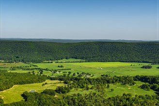
GLS22A02_453
High Angle View of Lush Valley Landscape
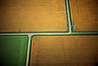
GLS19A03_371
Tan Fields, High Angle View
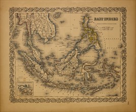
GLS18A29_005
Map of East Indies, 1855
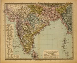
GLS18A29_007
Map of British India, 1895
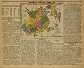
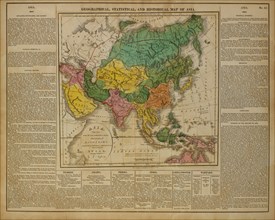
GLS18A29_060
Geographical and Historical Map of China, 1820
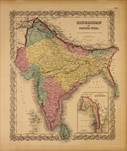
GLS18A29_006
Map of Hindostan or British India, 1855
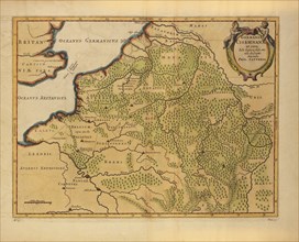
GLS18A29_061
Germaniae Cisrhenanae ut Circa Julii Caesaris Suit...
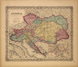
GLS18A28_500
Map of Austria, 1855
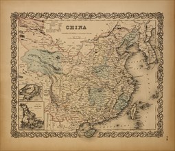
GLS18A29_001
Map of China, 1855
GLS18A29_059