22 résultats pour : information map
- Page
-
- sur
- 1
Connectez-vous pour plus de résultats
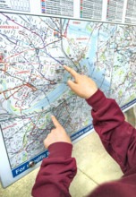
GLS25A04_062
Fingers pointing at outdoor city map, Boston
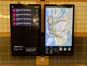
GLS25A04_142
New York City subway map and information board ann...

GLS22A00_076
Malaria Poster in small Hotel Room
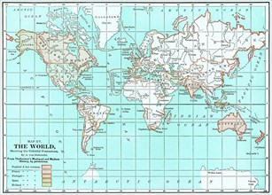
GLS20A04_113
Map XV
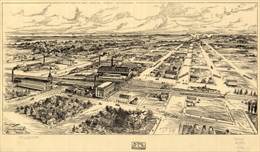
GLS19A01_216
Bird's Eye View of South Milwaukee, Binner Engravi...
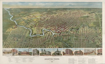
GLS19A01_114
Houston Texas, Looking South, D.W. Ensign, Chicago...
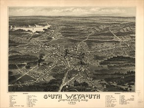
GLS19A01_215
South Weymouth, Norfolk County, Massachusetts, Art...
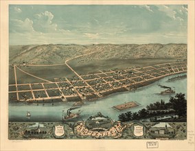
GLS19A00_360
Bird's Eye View of Guttenberg, Clayton County Iow...
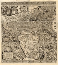
GLS19A00_359
Western Hemisphere Map, "Americae sive qvartae orb...
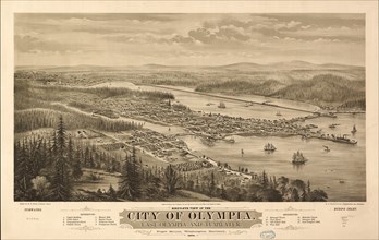
GLS19A00_362
Bird's Eye View of the city of Olympia, East Olymp...
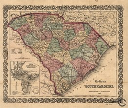
GLS19A01_211
Colton's South Carolina 1865, J.H. Colton
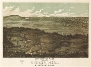
GLS19A00_361
Chattanooga, Tennessee as seen from Bragg Hill, Mi...
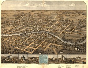
GLS19A01_212
South Bend, Indiana, Drawn and Published by A. Rug...
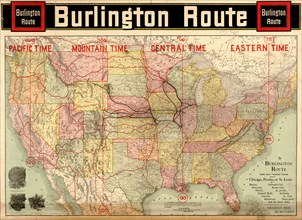
GLS19A00_364
Burlington Railroad Route Map, Rand McNally & Comp...
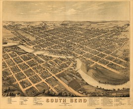
GLS19A01_213
South Bend, Indiana, Chas. Shober & Co. Proprietor...
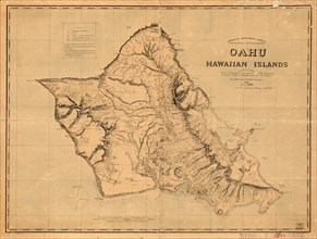
GLS19A00_363
Oahu, Hawaiian Islands, Survey Map, by C.J. Lyons,...
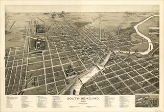
GLS19A01_214
South Bend, Indiana, Drawn and Published by C.J. P...
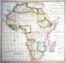
GLS18A11_041
Map of Africa
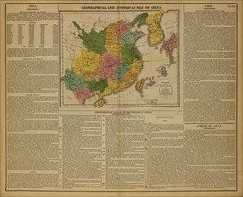
GLS18A29_060
Geographical and Historical Map of China, 1820
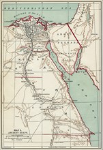
GLS18A31_303
Map of Ancient Egypt, Illustration, Cyclopaedia of...
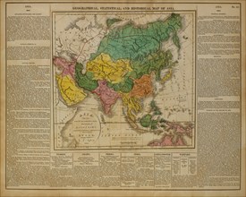
GLS18A29_059
Geographical, Statistical and Historical Map of As...
GLS18A04_498