49 résultats pour : serpentine shape
- Page
-
- sur
- 1
Connectez-vous pour plus de résultats
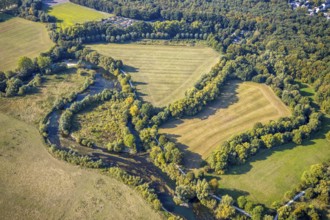
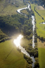
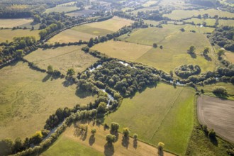
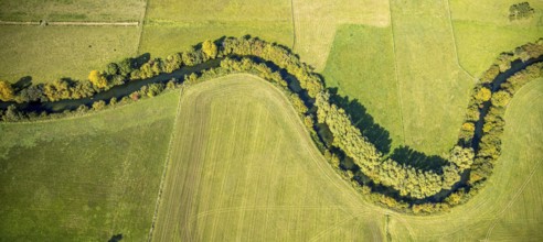
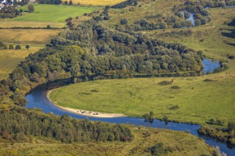
BRK25K35_279
Aerial view, river Lippe, Lippeauen-West, Hagedorn...
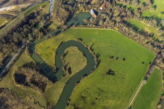
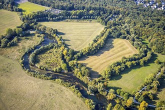
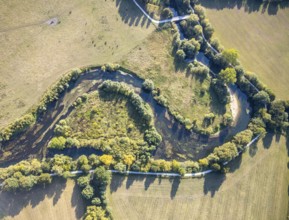
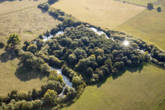
BRK25K49_281
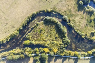
Aerial view, mill ditch, mill pond, oxbow lake of ...
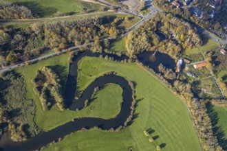
BRK25K49_295
Aerial view, mill ditch, mill pond, oxbow lake of ...
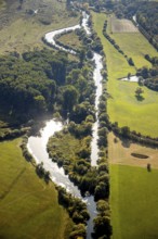
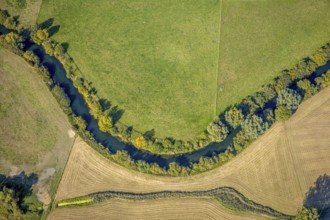
BRK25K35_282
Aerial view, river Lippe, Lippeauen-West, Hagedorn...
BRK25K35_256
Aerial view, River Lippe, Lippeauen-West, Hagedorn...
BRK25K35_281
Aerial view, river Lippe, Lippeauen-West, Hagedorn...
BRK25K35_267
Aerial view, River Lippe, Lippeauen-West, Hagedorn...
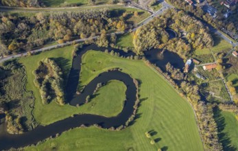
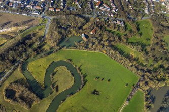
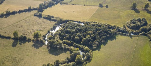
BRK25K48_302
Aerial view, Schlossmühle, Mühlengraben, Mühlentei...
BRK25K35_270
Aerial view, River Lippe, Lippeauen-West, Hagedorn...
BRK25K35_278
Aerial view, river Lippe, Lippeauen-West, Hagedorn...
BRK25K48_292
Aerial view, Schlossmühle, Mühlengraben, Mühlentei...
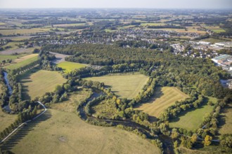
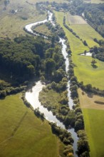
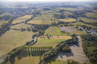
BRK25K35_008
Aerial view, Lippe floodplains, river Lippe, Niede...
BRK25K35_280
Aerial view, river Lippe, Lippeauen-West, Hagedorn...
BRK25K35_269
Aerial view, River Lippe, Lippeauen-West, Hagedorn...
BRK25K35_011
Aerial view, Lippe floodplains, river Lippe, Herzf...
BRK25K35_271
Aerial view, River Lippe, Lippeauen-West, Hagedorn...
BRK25K35_146
Aerial photograph, Lippe floodplain nature reserve...
BRK25K35_273
Aerial view, River Lippe, Lippeauen-West, Hagedorn...
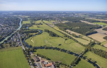
BRK25K48_076
Aerial view, river Lippe, Datteln-Hamm canal, Lipp...
BRK25K35_272
Aerial view, River Lippe, Lippeauen-West, Hagedorn...
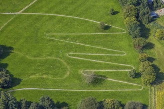
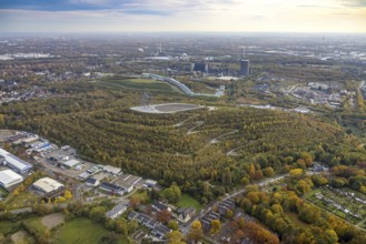
BRK25J49_120
Aerial view, tetrahedron pyramid and serpentine pa...

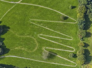
BRK25J49_121
Aerial view, tetrahedron pyramid and serpentine pa...
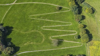
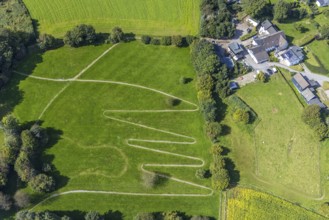
BRK25J39_067
Aerial view, serpentine path at the Königsfeld cli...
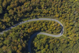
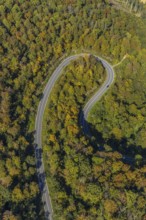
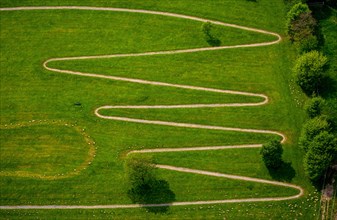
BRK25J06_356
Aerial view, serpentine road in forest area, north...
BRK25J39_066
Aerial view, serpentine path at the Königsfeld Cli...
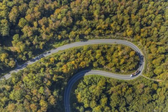
BRK25J06_355
Aerial view, serpentine road in forest area, north...
BRK25J39_072
Aerial view, serpentine path at the Königsfeld Cli...
BRK25J39_075
Aerial view, serpentine path at the Königsfeld Cli...
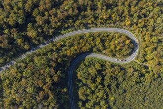
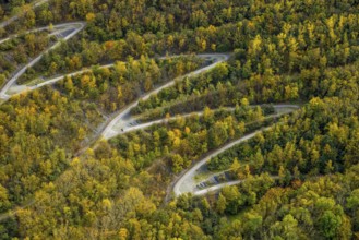
BRK25J06_354
Aerial view, serpentine road in forest area, north...
BRK25J06_353
Aerial view, serpentine road in forest area, north...
BRK25J39_073
Aerial view, serpentine path at the Königsfeld Cli...
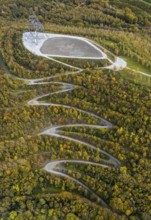
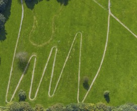
BRK25J49_117
Aerial view, serpentine path to the tetrahedron on...
BRK25J39_074
Aerial view, serpentine path at the Königsfeld Cli...
BRK25J06_357
Aerial view, serpentine road in forest area, north...
BRK25J49_142
Aerial view, serpentine path to the tetrahedron on...
BRK25J49_116
Aerial view, serpentine path to the tetrahedron on...
BRK25J49_122
Aerial view, tetrahedron pyramid and serpentine pa...
BRK25J49_119
Aerial view, serpentine path to the tetrahedron on...
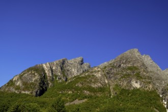
BRK25I72_364
Trollstigen Camping, Innfjorden, Møre og Romsdal, ...
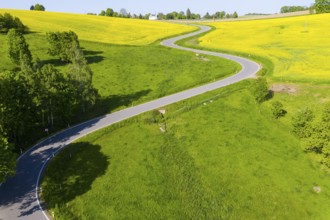
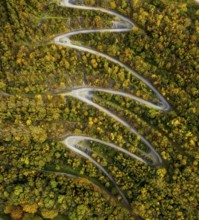
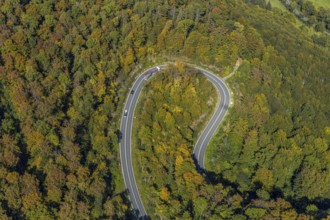
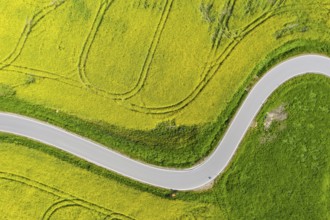
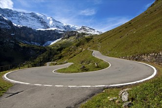
BRK25E22_177
Aerial view of the winding serpentine road between...
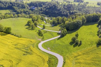
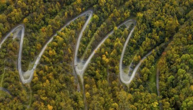
BRK25D84_203
Aerial view of the winding serpentine road between...
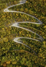
BRK25D84_204
Aerial view of the winding serpentine road between...
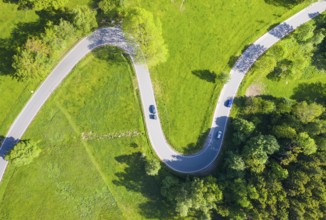
BRK25C62_062
Aerial view of the winding serpentine road between...
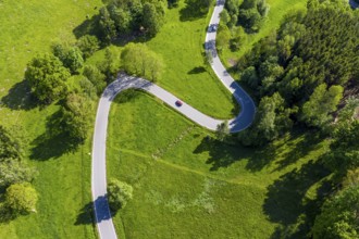
BRK25C85_300
Aerial view of the winding serpentine road between...
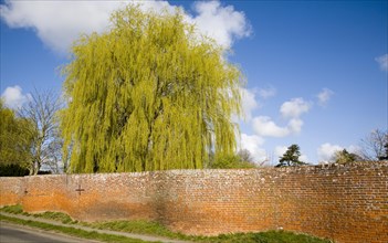
BRK24B54_198
Red brick crinkle crankle or serpentine wall at Ea...
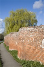
BRK24B56_212
Red brick crinkle crankle or serpentine wall at Ea...
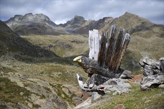
BRK23F48_335
Wooden sculpture in the shape of a golden eagle wi...
BRK19G49_455
Hairpin curve
BRK19D62_374