359 résultats pour : road map
- Page
-
- sur
- 4
Connectez-vous pour plus de résultats
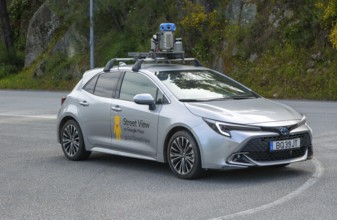
BRK26C62_301
Google Maps Streetview car camera filming vehicle,...
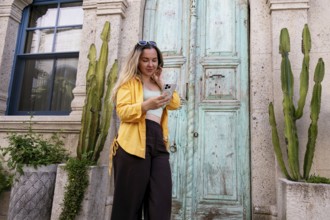
BRK26C77_206
A female tourist stands in front of an ornate wood...
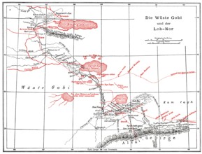
BRK26C98_244
The Gobi Desert with Lop Nur or Lop Nor, East Asia...
BRK26C85_048
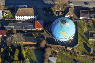
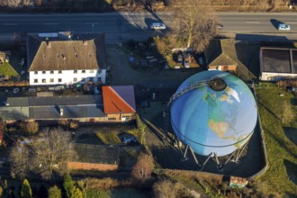
Oberhausen, North Rhine-Westphalia, Germany, Gasom...
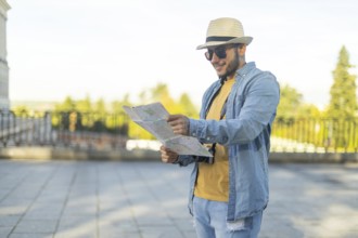
BRK26C15_384
A Latino transgender man in a hat and sunglasses e...
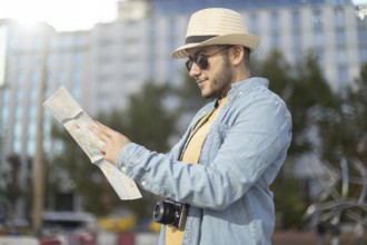
BRK26C11_102
A Latino transgender man, wearing casual denim and...
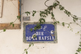
BRK26C18_149
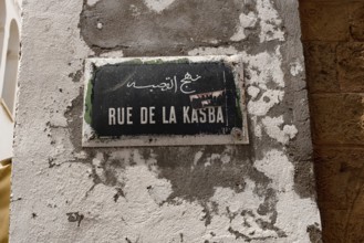
A Tunisian street sign for Rue de la Hafsia writte...
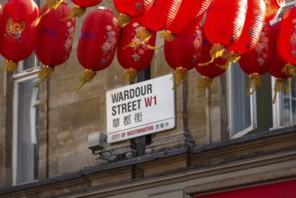
BRK26C19_091
London, United Kingdom. June 28th 2022 Street sign...
BRK26B68_051
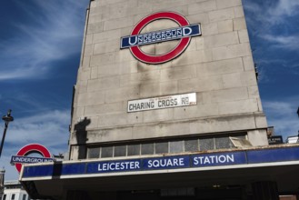
London, United Kingdom, June 28th 2022 Leicester S...
BRK26C19_086
London, United Kingdom. July 9th 2022 Sign for the...
BRK26C19_261
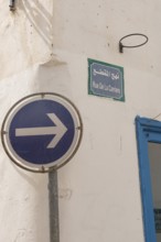
A one-way blue street sign on Rue de la Carriere, ...
BRK26C32_412
Silver figure explorer traveling by Ekaterina Kova...
BRK26C18_152
Tunis, Tunisia. 13th May 2024 A Tunisian street si...
BRK26C19_109
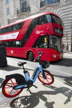
London, United Kingdom, June 28th 2022 Dott Electr...
BRK26C32_414
Silver figure explorer traveling by Ekaterina Kova...
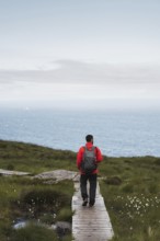
BRK26C13_486
A traveler wearing a red jacket and backpack walks...
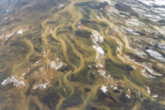
BRK26C15_272
Aerial view of Iceland's rivers showcasing intrica...
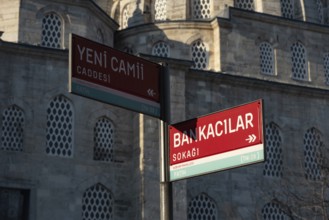
BRK26C22_216
Street sign for Yeni Cami Caddesi and Bankacilar S...
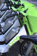
BRK26C28_444
London, UK. January 30th 2025. Lime Electric E bik...
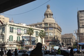
BRK26C23_373
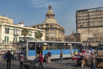
Cairo, Egypt. December 7th 2022 Busy Traffic cross...

BRK26C53_004
Dhaka, Bangladesh- 07 May 2025: Google Maps app ic...
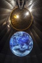
BRK26B81_394
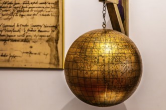
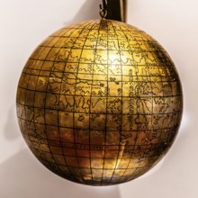
Jagiellonian globe, first globe, with the newly di...

BRK26B98_459
Dhaka, Bangladesh- 28 Oct 2025: An iPad displaying...
BRK26C01_209
Dhaka, Bangladesh- 28 Oct 2025: An iPad displaying...

BRK26C01_213
Dhaka, Bangladesh- 24 Oct 2025: A iPad screen disp...

BRK26C01_215
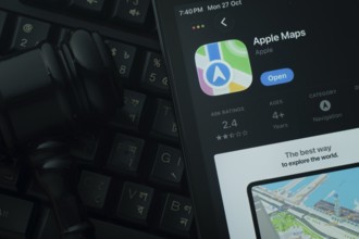
Dhaka, Bangladesh- 30 Oct 2025: Apple Maps app on ...

BRK26B96_045
Dhaka, Bangladesh- 01 Dec 2025: A close-up of the ...

BRK26B98_467
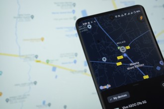
Dhaka, Bangladesh- 30 Oct 2025: Google Maps app di...

BRK26C01_214
Dhaka, Bangladesh- 30 Oct 2025: Apple Maps app dis...
BRK26B55_020
Cairo, Egypt. December 7th 2022 Busy Traffic cross...
BRK26B55_050
Cairo, Egypt. December 7th 2022 Busy Traffic cross...

BRK26B98_440
Dhaka, Bangladesh- 01 Dec 2025: A close-up of the ...

BRK26B98_461
Dhaka, Bangladesh- 30 Oct 2025: Google maps app on...

BRK26B98_464
Dhaka, Bangladesh- 24 Oct 2025: A iPad screen disp...
BRK26B98_444
Dhaka, Bangladesh - 15 March 2025: The app of the ...

BRK26B98_450
16 Nov 2025- Dhaka, Bangladesh: Stylus touching th...
BRK26B12_483
Jagiellonian globe, first globe, with the newly di...
BRK26B12_349
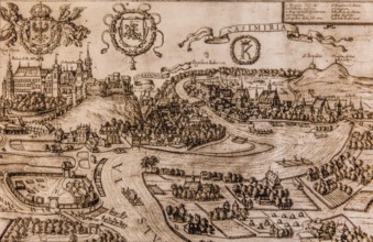
Map of Kazimierz, copper engraving, 1608, Kazimier...
BRK26B12_264
House under the globe, 1904, headquarters of the K...

BRK26B25_225
Hatzte, Elsdorf, Lower Saxony, Germany, close-up o...
BRK26B08_170
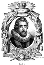
James I or Jacob I (1566-1625), son of Mary Stuart...

BRK26A72_428
Diverse group of engineers and architects collabor...
BRK26A90_091
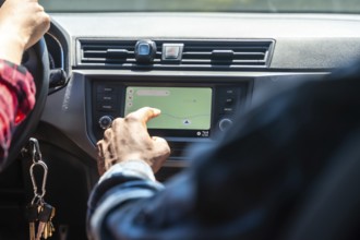
Close up of passenger using navigation system on c...
BRK26A65_186
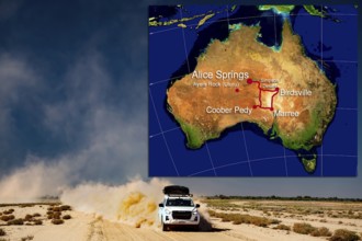
Vehicle on dusty desert road with map of Australia...

BRK26A52_197
Dhaka, Bangladesh- 06 Dec 2025: Close-up of the Wa...

BRK26A52_205
Dhaka, Bangladesh- 30 Oct 2025: Waze app on a iPad...
BRK26A59_253
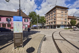
Site plan, public city map, sign for the building,...
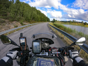
BRK26A81_161
A motorcyclist's view of an empty country road sur...

BRK26A52_190
Dhaka, Bangladesh- 27 July 2025: Waze app from Goo...
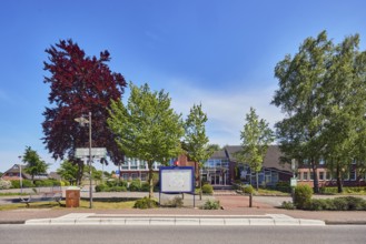
BRK26A73_055
Neuenkirchen Rathaus bus stop, town hall of the mu...

BRK26A52_203
Dhaka, Bangladesh- 28 Oct 2025: An iPad displaying...

BRK26A52_200
Dhaka, Bangladesh- 01 Dec 2025: A close-up of the ...
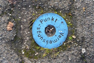
BRK26A20_483
Survey point, in a street, reference point for sur...

BRK26A43_419
Two women are walking and using a smartphone in a ...
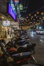
BRK26A45_387
Motor scooters line the side of the downtown stree...
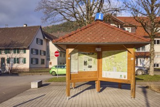
BRK26A11_045
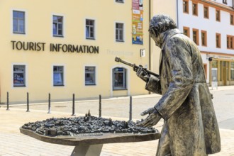
Information pavilion, information, tourism, site p...
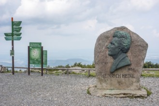
BRK26A51_429
Heinrich Heine memorial, Heine memorial on the sum...

BRK25M23_123
Young man using a smartphone and wearing headphone...
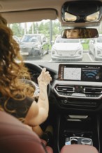
BRK25M44_285
A woman with curly hair is focused on driving a ca...
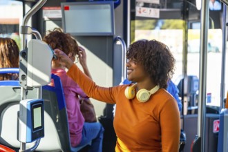
BRK25L58_440
Smiling woman with headphones validating a contact...
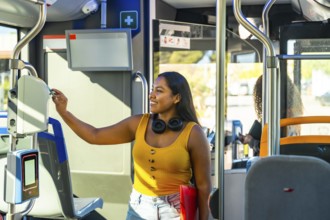
BRK25L58_337
Young smiling woman using a payment validator for ...
BRK25K67_364
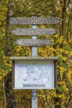
Road sign, map, autumn forest, Neuenkleusheim, Olp...
BRK25K87_298
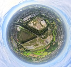
Aerial view, villa hill and hill park with autumna...
BRK25K32_240
Aerial view, Oberwengerner Straße globe, gas globe...
BRK25K32_285
Aerial view, Oberwengerner Straße globe, gas globe...
BRK25J62_375
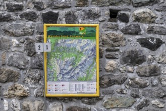
Hiking map hiking trails, Arosa, Graubünden, Switz...
BRK25J73_122
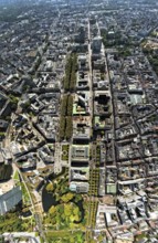
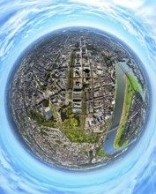
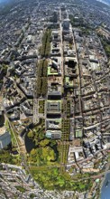
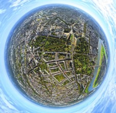
Aerial view, Königsallee with tree avenue, city ce...
BRK25J81_394
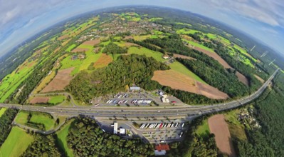
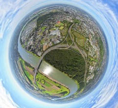
Aerial view, service area Hünxe-Ost and Hünxe-West...
BRK25J86_249
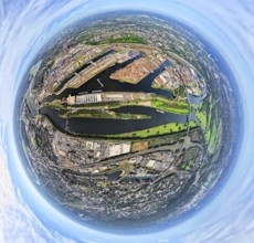
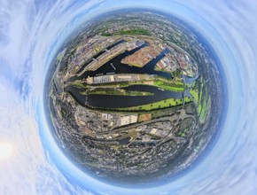
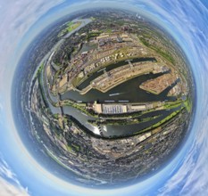
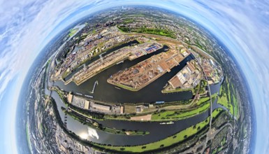
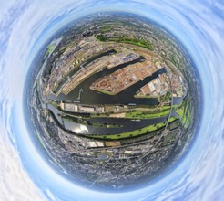
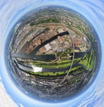
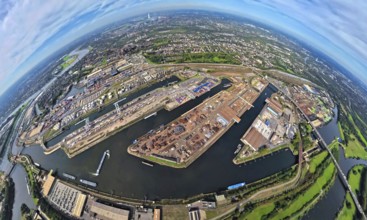
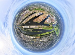
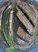
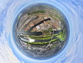
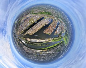
Aerial view, Duisburg-Ruhrort harbour with oil isl...
BRK25J72_007
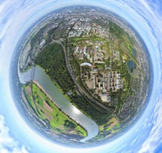
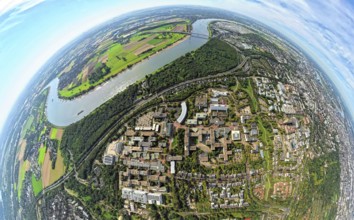
Aerial photo, Heinrich-Heine-University at the riv...
BRK25J73_119
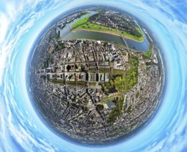
Aerial view, old town and Königsallee with tree av...
BRK25J81_396
Aerial view, service area Hünxe-Ost and Hünxe-West...
BRK25J86_250
Aerial view, Duisburg-Ruhrort harbour with oil isl...
BRK25J81_299
Aerial view, Emscher Hangpark and tailings pile wi...
BRK25J86_257
Aerial view, Duisburg-Ruhrort harbour with oil isl...
BRK25J86_259
Aerial view, Duisburg-Ruhrort harbour with oil isl...
BRK25J71_344
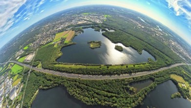
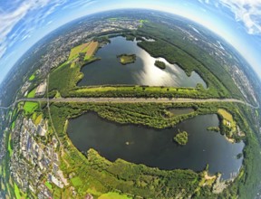
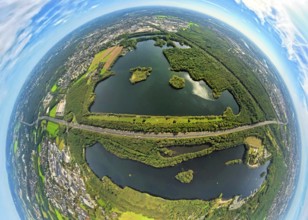
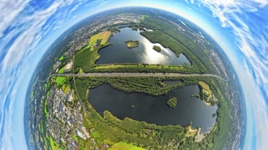
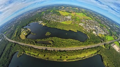
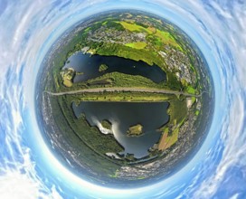
Aerial photo, Elbsee and Unterbacher See with fore...
BRK25J73_112
Aerial view, old town and Königsallee with tree av...
BRK25J86_277
Aerial view, Duisburg-Ruhrort harbour with oil isl...
BRK25J71_341
Aerial photo, Elbsee and Unterbacher See with fore...
BRK25J86_253
Aerial view, Duisburg-Ruhrort harbour with oil isl...
BRK25J86_266
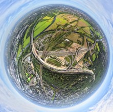
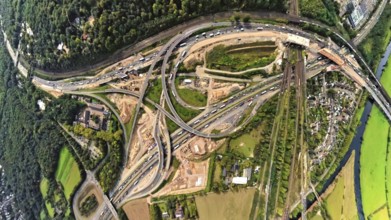
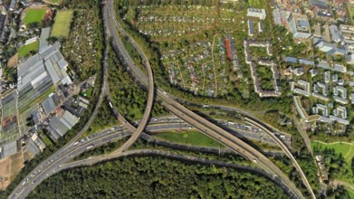
Aerial photo, Kaiserberg motorway junction with co...
BRK25J71_342
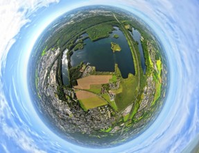
Aerial photo, Elbsee and Unterbacher See with fore...
BRK25J86_251
Aerial view, Duisburg-Ruhrort harbour with oil isl...
BRK25J71_419
Aerial photo, Elbsee and Unterbacher See with fore...
BRK25J73_120
Aerial view, Königsallee with tree avenue, city ce...
BRK25J71_371
Aerial photo, Elbsee and Unterbacher See with fore...
BRK25J73_113
Aerial view, Hofgarten, residential area Kaiserstr...
BRK25J86_248
Aerial view, Duisburg-Ruhrort harbour with oil isl...
BRK25J71_418
Aerial photo, Elbsee and Unterbacher See with fore...
BRK25J71_380
Aerial photo, Elbsee and Unterbacher See with fore...
BRK25J86_271
Aerial view, Kaiserberg motorway junction with con...
BRK25J86_273
Aerial view, Duisburg-Ruhrort harbour with oil isl...
BRK25J72_006
Aerial photo, Heinrich-Heine-University at the riv...
BRK25J72_010
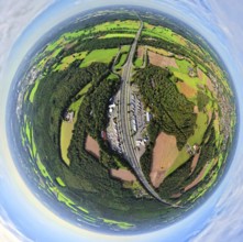
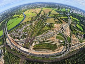
Aerial view, Fleher forest and motorway junction D...
BRK25J86_252
Aerial view, Duisburg-Ruhrort harbour with oil isl...
BRK25J86_274
Aerial view, Duisburg-Ruhrort harbour with oil isl...
BRK25J72_012
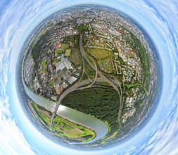
Aerial view, motorway junction Düsseldorf Bik, mot...
BRK25J86_280
Aerial photo, Kaiserberg motorway junction with co...
BRK25J72_036
Aerial view, Fleher forest and motorway junction D...
- Page
-
- sur
- 4