4225 résultats pour : panorama flight
- Page
-
- sur
- 43
Connectez-vous pour plus de résultats
BRK26C58_095
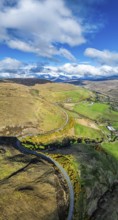
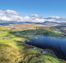
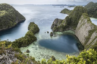
Panorama of Farms and Moors over Loch Harport from...
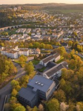
BRK26C61_424
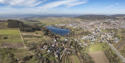
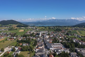
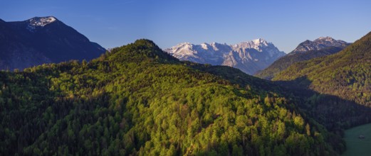
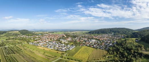
Aerial view, panorama of the municipality of Steiß...
BRK26C62_297
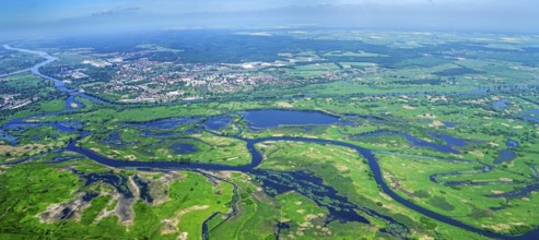
Poland, Europe, Lubuskie, Warta, Warta, Oder, natu...
BRK26C65_249
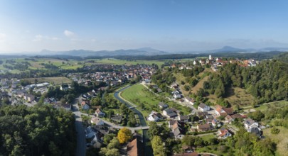
Aerial view, panorama of the town of Aach in Hegau...
BRK26C63_295
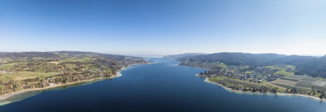
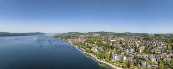
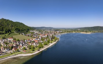
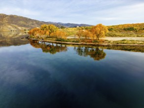
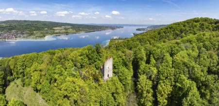
Aerial view, panorama of Lake Constance, Untersee,...
BRK26C56_356
Panorama at the summit of the Wilder Freiger with ...
BRK26C94_454
Vertical panorama of Farms and Fields over Cononle...
BRK26C62_040
Panorama of Farms and Moors over Loch Harport from...
BRK26C67_183
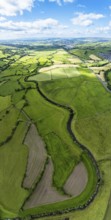
Drone shot, panorama shot, agricultural landscape,...
BRK26D02_180
Panorama of Fairy Pools and Waterfalls from a dron...
BRK26C62_444
Aerial view, panorama of Überlingen on Lake Consta...
BRK26C60_297
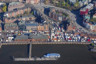
Germany, Hamburg, Altona, St. Pauli, fish market, ...
BRK26C58_112
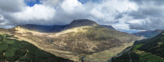
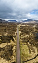
Panorama of Moors and Road A82 over Glencoe Valley...
BRK26C55_336
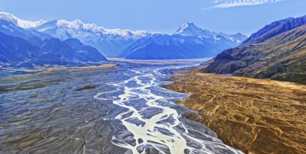
Tasman River with the peak of Mount Cook, Aoraki, ...
BRK26C64_314
Aerial view, panorama, trees, forest, light green ...
BRK26C65_261
Aerial view, panorama of the mouth of the Stockach...
BRK26C65_302
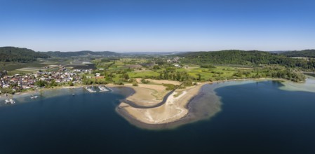
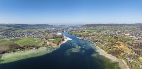
Aerial view, panorama of Lake Constance with the v...
BRK26C60_076
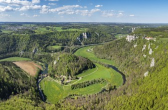
Aerial view, panorama of the upper Danube valley, ...
BRK26C60_240
Aerial view, panorama of the municipality of Steiß...
BRK26C67_141
Aerial view, panorama of Lake Constance, Untersee,...
BRK26C69_169
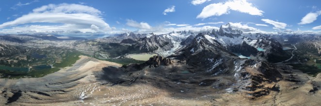
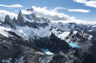
Aerial view, epic panorama, large glaciers, glacia...
BRK26C69_171
Evening at Refugio Francis Fox Tuckett, alpine pan...
BRK26C96_050
360 degree alpine panorama, aerial view, impressiv...
BRK26C99_126
Aerial view, Alpine panorama, mountain landscape w...
BRK26C83_143
Aerial View, Epic Panorama, Large Glaciers, Lago d...
BRK26C61_239
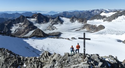
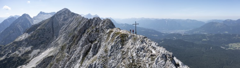
Aerial view, Alpine panorama, hikers at the summit...
BRK26C68_341
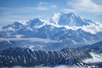
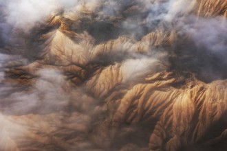
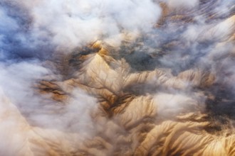
Panorama, clouds over high mountains, Mt Denali or...
BRK26C70_303
A striking aerial shot of the distinctive geologic...

BRK26C90_468
Aerial shot capturing a surfer navigating the clea...
BRK26C70_410
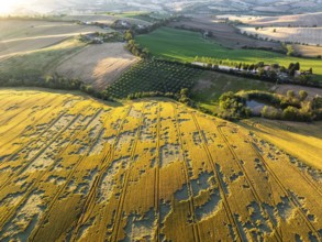
The tranquil beauty of the Italian countryside, wi...
BRK26C77_023
Stunning aerial capture of the unique geological f...
BRK26C77_476
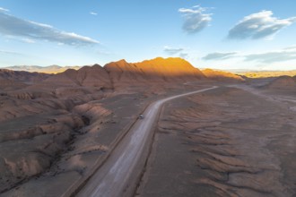
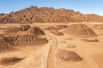
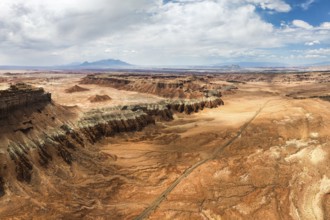
Aerial view of a vehicle in a empty desert road wi...
BRK26C83_128
Aerial view of the Icelandic winter terrain, showc...
BRK26C86_076
Aerial view of a tranquil lake in Queenstown durin...

BRK26C87_070
A serene view from an airplane window showcasing t...
BRK26C92_427
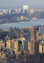
Top view of New York City during sunset, showcasin...
BRK26C56_362
Aerial view, panorama of Lake Constance with the S...
BRK26C68_424
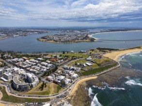
A breathtaking aerial view of Newcastle, New South...
BRK26C73_461
A stunning aerial view of a rugged mountain landsc...
BRK26C81_137
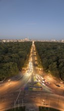
An aerial view of Berlin's Strabe des 17 Juni at d...
BRK26C84_257
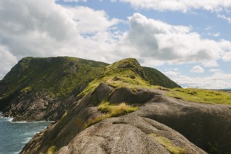
Panoramic view of the rugged cliffs and ocean at S...
BRK26D00_009
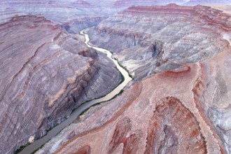
Captivating aerial photograph showcasing the sinuo...
BRK26C77_384
A panoramic aerial photograph capturing the unique...
BRK26C78_260
Aerial view of an urban area with houses and trees...
BRK26C78_493
A traveler in a red jacket leaps mid-air on an ope...
BRK26C82_341
Aerial photograph capturing the breathtaking lands...
BRK26C83_193
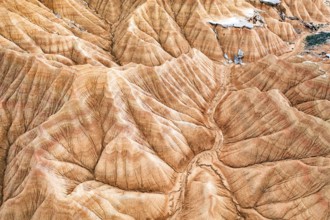
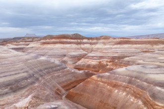
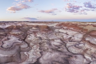
Stunning aerial photograph captures the intricate,...
BRK26C95_290
A stunning drone photograph capturing the layered ...
BRK26C95_347
Aerial shot captures a striking desert landscape w...
BRK26C96_146
Aerial view showcasing the unique textures of a go...
BRK26C99_336
Captivating aerial shot of the vibrant and texture...
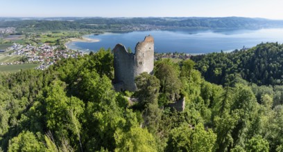
BRK26C59_377
Aerial view, panorama of the Neuburg ruins, histor...
BRK26C64_161
Aerial view, panorama, view of flower field, distr...
BRK26C78_030
From above, this aerial shot captures the stunning...
BRK26C80_451
Captivating aerial view showcasing majestic mounta...
BRK26C85_235
Aerial view capturing the mystical landscape of Go...
BRK26C90_098
Stunning aerial shot capturing the intricate, text...
BRK26C73_361
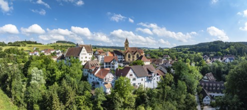
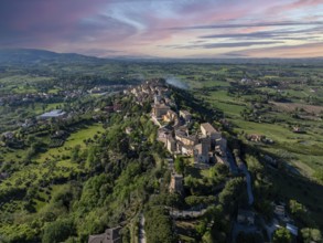
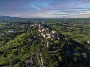
Aerial view of Treia, Italy, capturing the histori...
BRK26C83_267
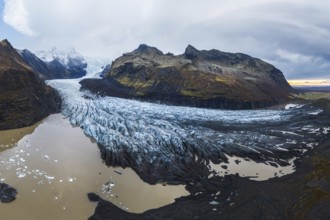
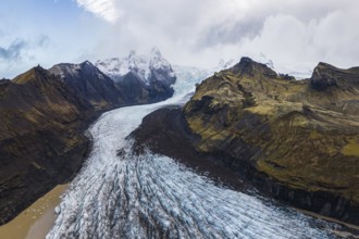
A panoramic shot of the vast Vatnajökull Glacier f...
BRK26C97_087
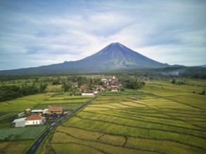
A breathtaking aerial view of Mount Semeru, the hi...
BRK26D00_302
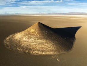
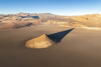
From above, the Cono de Arita in Salta, Argentina ...
BRK26C70_310
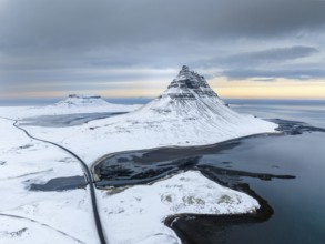
A breathtaking aerial view of Kirkjufell mountain ...
BRK26C73_408
Stunning aerial view of rocky mountain peaks parti...
BRK26C79_339
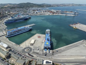
Aerial view of Ancona harbor, Italy, showcasing cr...
BRK26C87_326
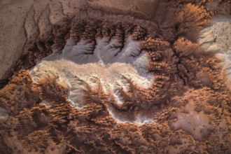
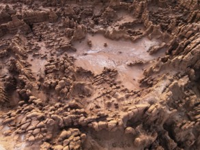
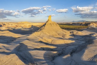
Aerial capture of bentonite sandstone formations i...
BRK26C97_008
Aerial view of a vast desert landscape featuring a...
BRK26D00_354
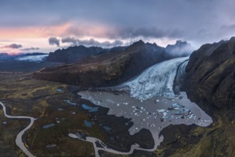
Stunning aerial shot capturing the expansive Vatna...
BRK26C71_111
Stunning aerial capture of Vatnajökull Glacier win...
BRK26C74_436
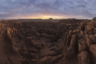
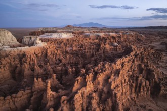
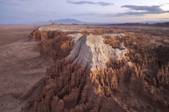
Captivating aerial shot of Goblin Valley State Par...
BRK26C93_180
A captivating aerial shot of the textured, rocky f...
BRK26C98_453
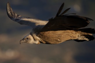
A Griffon Vulture gracefully soars over the divers...
BRK26D04_078
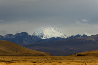
Majestic snow-capped Mount Cook surrounded by dram...
BRK26D05_081
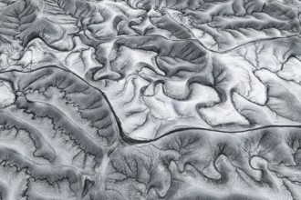
Stunning aerial shot capturing the unique patterns...
BRK26C56_250
Aerial view, panorama of Lake Constance with the r...
BRK26C68_337
Stunning aerial photograph capturing Goblin Valley...
BRK26C69_167
Dramatic sunset casts vibrant colors over the uniq...

BRK26C70_497
Street art Flight of a Man, outer wall of the form...
BRK26C74_128
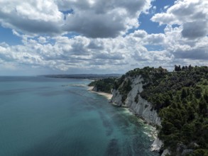
Aerial view of the stunning coastline in Sirolo, I...
BRK26C74_228
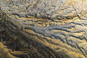
Captivating aerial view showcasing the intricate a...
BRK26C83_056
Aerial view of Iceland's highlands, showcasing int...
BRK26C83_247
Aerial view of the stunning Icelandic winter lands...
BRK26C96_429
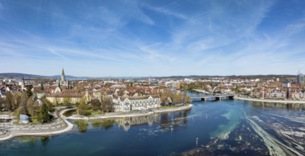
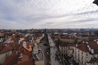
Beautiful aerial snapshot of Prague showcasing a c...
BRK26C70_118
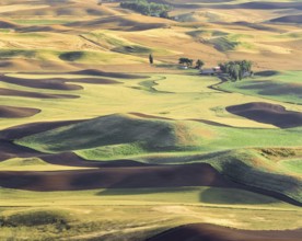
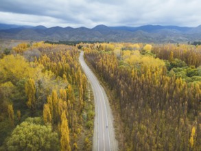
The Palouse region's rolling hills display a patch...
BRK26C70_349
Aerial view of Treia, Italy, highlighting its rema...

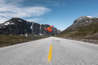
BRK26C71_077
From above back view of unrecognizable man standin...
BRK26C71_375
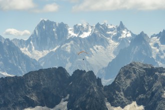
A lone paraglider glides gracefully above the rugg...
BRK26C74_413
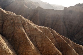
A panoramic view of dramatically eroded sandstone ...
BRK26C75_474
Default
BRK26C99_410
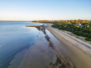
Aerial view of a serene beach at low tide with a l...
BRK26C68_411
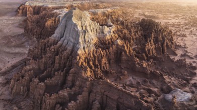
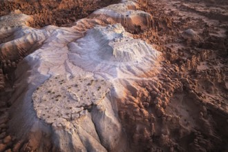
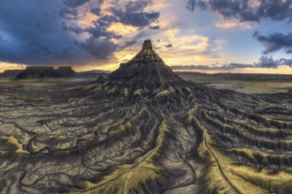
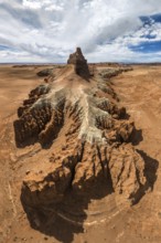
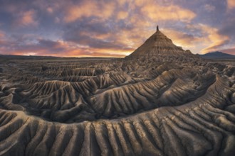
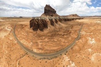
Stunning landscape of Factory Butte in Utah bathed...
BRK26C69_276
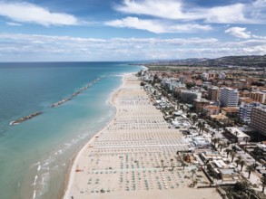
Stunning aerial shot of San Benedetto, Italy, show...
BRK26C70_389
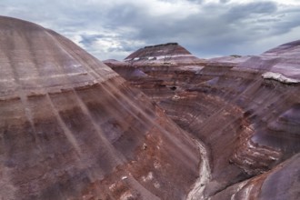
Stunning aerial shot of the unique, colorful strat...
BRK26C70_441
From above, this drone-captured image showcases th...
BRK26D01_089
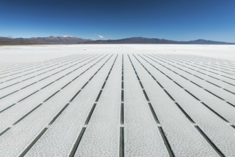
Aerial view of the geometric grid pattern created ...
BRK26C80_254
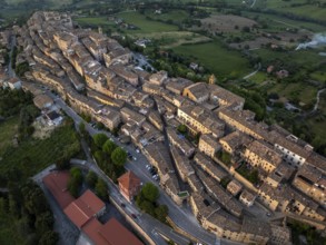
Breathtaking aerial view of Treia, Italy, showcasi...
BRK26C99_273
An expansive aerial shot capturing the rugged and ...
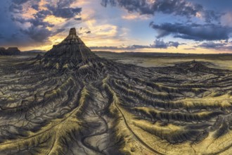
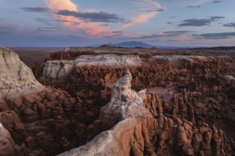
BRK26C68_332
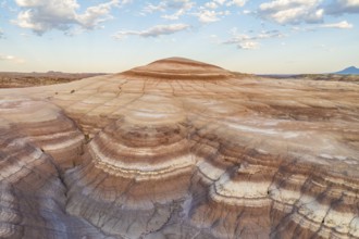
Spectacular aerial view of Factory Butte at sunset...
BRK26C68_422
Aerial photo contrasting vibrant green and gray la...
BRK26C73_413
Aerial view of Popcorn Beach, striking coastline w...
BRK26C77_247
Panoramic aerial view of Goblin Valley State Park ...
- Page
-
- sur
- 43