687 résultats pour : overview maps
- Page
-
- sur
- 7
Connectez-vous pour plus de résultats

BRK26C56_410
Geography teacher walking in classroom while stude...

BRK26C79_300
Top view of delicate spring snowdrops arranged on ...
BRK26D02_391
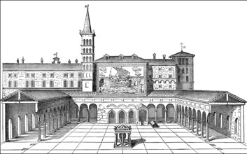
Old St. Peter's Basilica, Vatican, Rome, Italy, 13...
BRK26C84_266
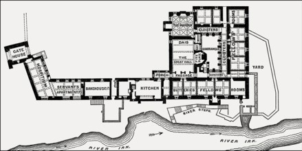
Plan of Chetham's College, Manchester, England, UK...
BRK26C85_283
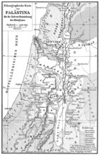
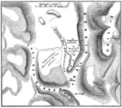
Ethnic map of Palestine, 1000 BCE
BRK26D05_073
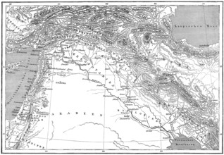
Map of ancient Middle-East
BRK26D03_248
Jebus, pre-Israelite Jerusalem
BRK26D00_438
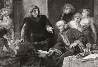
Martin von Behaim, German astronomer, showing his ...
BRK26C23_373
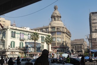
Cairo, Egypt. December 7th 2022 Busy Traffic cross...
BRK26B77_136
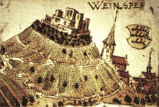
Weinsberg is a town in the district of Heilbronn, ...
BRK26B55_020
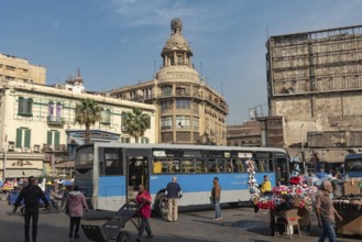
Cairo, Egypt. December 7th 2022 Busy Traffic cross...
BRK26B55_050
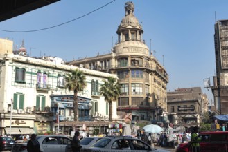
Cairo, Egypt. December 7th 2022 Busy Traffic cross...

BRK26A72_428
Diverse group of engineers and architects collabor...
BRK26A63_287
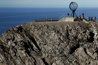
Panorama of cliffs at the North Cape with the glob...
BRK26A81_161
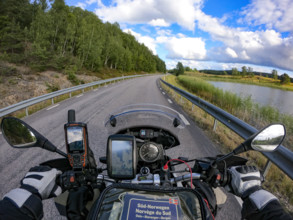
A motorcyclist's view of an empty country road sur...

BRK26A35_217
Three cheerful young women using smartphone and ri...
BRK26A07_337
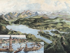
Lake Constance with Lindau and Alpine Range, Swabi...
BRK26A17_210
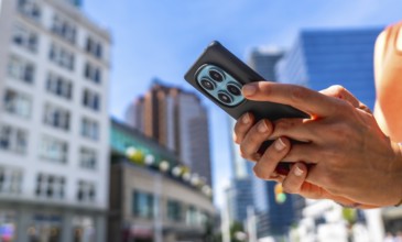
Close up of hands holding smartphone with multiple...
BRK26A17_208
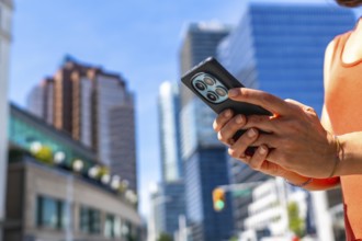
Tourist using a smartphone while surrounded by the...
BRK26A51_429
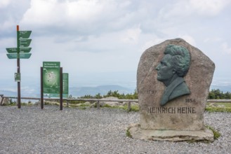
Heinrich Heine memorial, Heine memorial on the sum...
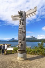
BRK25M60_397
Wooden totem pole standing on a base overlooking t...
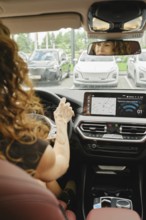
BRK25M44_285
A woman with curly hair is focused on driving a ca...
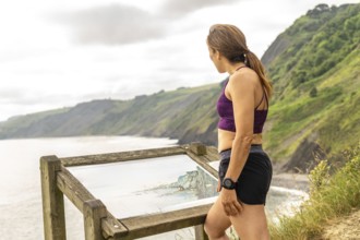
BRK25L84_142
Female tourist consulting informative map at viewp...
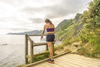
BRK25L84_141
Sportswoman enjoying the view of the sakoneta beac...

BRK25K66_339
This image showcases a cutting-edge data center, h...
BRK25K62_480
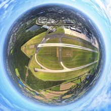
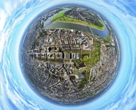
Aerial view, central station station, redesign of ...
BRK25K87_298
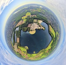
Aerial view, villa hill and hill park with autumna...
BRK25K62_485
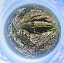
Aerial view, central station and city city center,...
BRK25K52_480
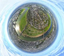
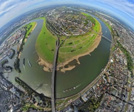
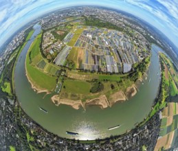
Aerial view, town view of Wesel, Rhine river and W...
BRK25K52_477
Aerial view, town view of Wesel, Rhine river and W...
BRK25K62_481
Aerial view, central station station, redesign of ...
BRK25K87_307
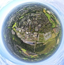
Aerial view, residential area town view Werden dis...
BRK25K87_318
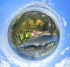
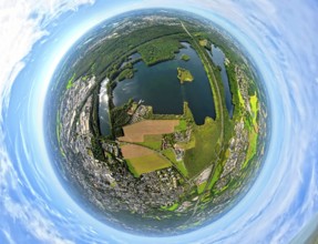
Aerial view, Lake Baldeney with dam RWE hydroelect...
BRK25K87_270
Aerial view, Lake Baldeney with dam RWE hydroelect...
BRK25K87_313
Aerial view, residential area town view Werden dis...
BRK25J62_375
Hiking map hiking trails, Arosa, Graubünden, Switz...
BRK25J73_122
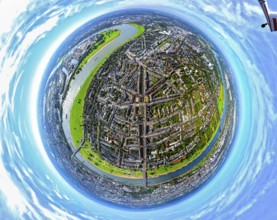
Aerial view, Königsallee with tree avenue, city ce...
BRK25J81_394
Aerial view, service area Hünxe-Ost and Hünxe-West...
BRK25J81_405
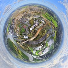
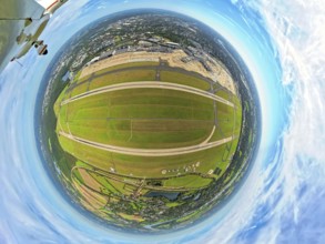
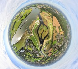
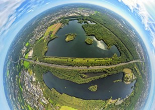
Aerial view, Tenderingssee and lido, globe, fishey...
BRK25J81_486
Aerial view, town hall district administration Rec...
BRK25J86_249
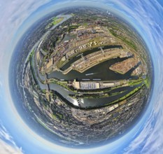
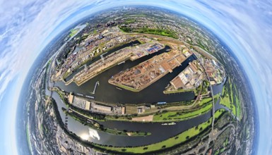
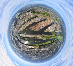
Aerial view, Duisburg-Ruhrort harbour with oil isl...
BRK25J72_007
Aerial photo, Heinrich-Heine-University at the riv...
BRK25J73_119
Aerial view, old town and Königsallee with tree av...
BRK25J81_396
Aerial view, service area Hünxe-Ost and Hünxe-West...
BRK25J81_404
Aerial view, Tenderingssee and lido, globe, fishey...
BRK25J81_488
Aerial view, town hall district administration Rec...
BRK25J86_250
Aerial view, Duisburg-Ruhrort harbour with oil isl...
BRK25J71_364
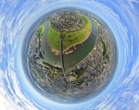
Aerial view, Himmelgeister Rheinbogen nature reser...
BRK25J71_400
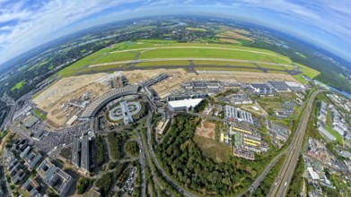
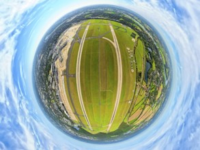
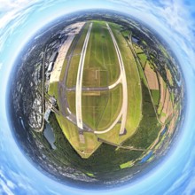
Aerial view, DUS Airport Düsseldorf with reception...
BRK25J72_040
Aerial photo, DUS Airport Düsseldorf with runway a...
BRK25J73_187
Aerial photo, DUS Airport Düsseldorf Airport with ...
BRK25J81_299
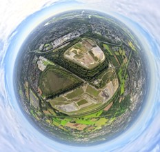
Aerial view, Emscher Hangpark and tailings pile wi...
BRK25J81_380
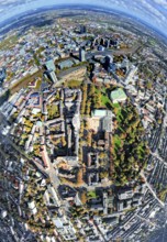
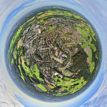
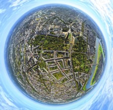
Aerial view, city centre view with comprehensive s...
BRK25J86_257
Aerial view, Duisburg-Ruhrort harbour with oil isl...
BRK25J86_259
Aerial view, Duisburg-Ruhrort harbour with oil isl...
BRK25J71_344
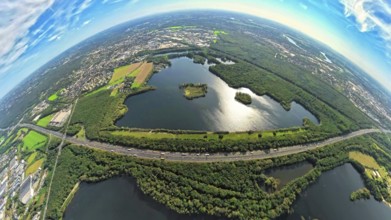
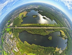
Aerial photo, Elbsee and Unterbacher See with fore...
BRK25J71_393
Aerial view, DUS Airport Düsseldorf with reception...
BRK25J72_037
Aerial photo, DUS Airport Düsseldorf Airport with ...
BRK25J73_112
Aerial view, old town and Königsallee with tree av...
BRK25J73_151
Aerial photo, DUS Airport Düsseldorf Airport with ...
BRK25J81_358
Aerial view, meadows and fields Tenderingsweg at B...
BRK25J81_406
Aerial view, Tenderingssee and lido, globe, fishey...
BRK25J86_277
Aerial view, Duisburg-Ruhrort harbour with oil isl...
BRK25J71_341
Aerial photo, Elbsee and Unterbacher See with fore...
BRK25J71_365
Aerial view, Benrath Castle with castle park and c...
BRK25J73_067
Aerial view, district Oberkassel with Festwiese Ob...
BRK25J81_303
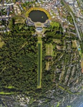
Aerial view, municipal park and castle Dinslaken w...
BRK25J81_331
Aerial view, Emscher renaturalisation river Emsche...
BRK25J81_342
Aerial view, residential area Lohberg district, be...
BRK25J81_416
Aerial view, city centre view with town hall and t...
BRK25J86_253
Aerial view, Duisburg-Ruhrort harbour with oil isl...
BRK25J86_266
Aerial photo, Kaiserberg motorway junction with co...
BRK25J86_275
Aerial view, harbour Duisburg-Ruhrort with oil isl...
BRK25J71_342
Aerial photo, Elbsee and Unterbacher See with fore...
BRK25J71_367
Aerial view, Benrath Castle with castle park and c...

BRK25J73_029
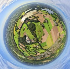
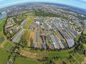
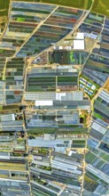
Aerial view, horticulture and agricultural use in ...
BRK25J73_068
Aerial view, district Oberkassel with Festwiese Ob...
BRK25J73_088
Aerial view, district Oberkassel and river Rhine, ...
BRK25J81_290
Aerial view, municipal park and castle Dinslaken w...
BRK25J81_365
Aerial view, Emscher renaturalisation river Emsche...
BRK25J81_417
Aerial view, city centre view with town hall and t...
BRK25J86_251
Aerial view, Duisburg-Ruhrort harbour with oil isl...
BRK25J86_258
Aerial view, harbour Duisburg-Ruhrort with oil isl...
BRK25J71_419
Aerial photo, Elbsee and Unterbacher See with fore...
BRK25J73_014
Aerial view, horticulture and agricultural use in ...
BRK25J73_069
Aerial view, district Oberkassel with Festwiese Ob...
BRK25J73_120
Aerial view, Königsallee with tree avenue, city ce...
BRK25J81_418
Aerial view, city centre view with town hall and t...
BRK25J86_276
Aerial view, harbour Duisburg-Ruhrort with oil isl...
BRK25J71_371
Aerial photo, Elbsee and Unterbacher See with fore...
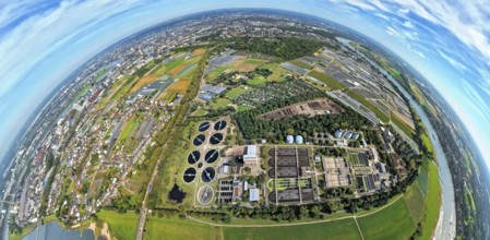
BRK25J72_032
Aerial view, sewage treatment plant Düsseldorf-Süd...
BRK25J73_015
Aerial view, horticulture and agricultural use in ...
BRK25J73_038
Aerial view, horticulture and agricultural use in ...
BRK25J73_113
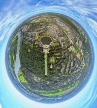
Aerial view, Hofgarten, residential area Kaiserstr...
BRK25J81_291
Aerial view, municipal park and castle Dinslaken w...
BRK25J86_248
Aerial view, Duisburg-Ruhrort harbour with oil isl...
BRK25J71_399
Aerial view, DUS Airport Düsseldorf with reception...
BRK25J71_418
Aerial photo, Elbsee and Unterbacher See with fore...
BRK25J73_037
Aerial view, horticulture and agricultural use in ...
BRK25J81_485
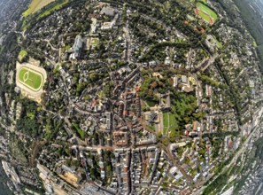
Aerial view, old town and old town ring Herzogswal...
- Page
-
- sur
- 7