17448 résultats pour : near the road
- Page
-
- sur
- 175
Connectez-vous pour plus de résultats
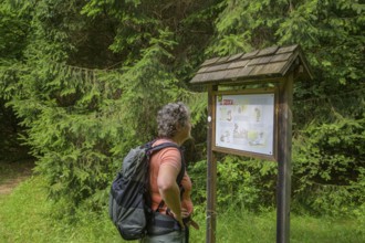
BRK26C60_405
Hiker looking at a signpost about the danger of ti...
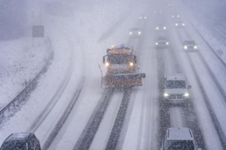
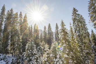
BRK26C70_314
The onset of winter in North Rhine-Westphalia, hea...
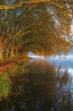
BRK26C76_428
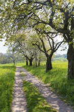
Dense chestnut tree avenue at the Rhine dike near ...
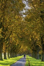
BRK26C59_015
Autumn colours on the Platanen Allee, Hardenberg U...

BRK26C79_082
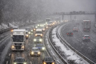
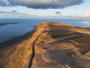
Motorway A3 between Düsseldorf and Leverkusen, nea...
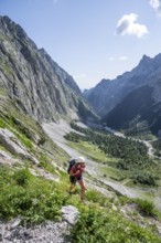
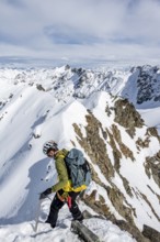
BRK26C98_342
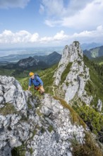
Mountaineer descending the narrow ridge of Piz Lav...
BRK26C60_231
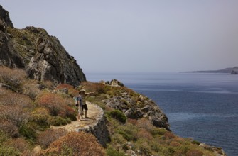
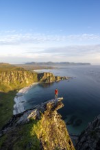
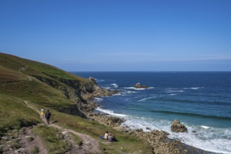
Climber on a rock, view of picturesque coastal lan...
BRK26C61_373
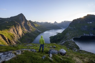
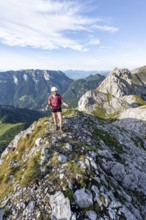
Mountaineer looking over mountain landscape with p...
BRK26C70_446
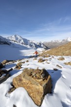
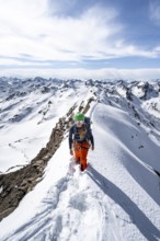
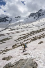
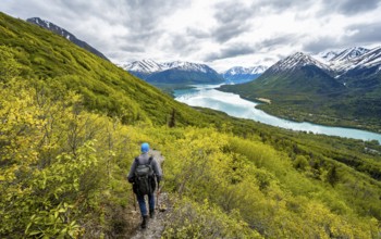
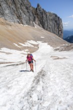
Mountaineer on a hiking trail with snow, descent f...
BRK26C85_406
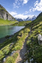
Mountaineer on a hiking trail at a mountain lake w...
BRK26C96_172
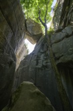
Trapped boulder in the Jardin du Roi, Grés d'Annot...
BRK26C72_234
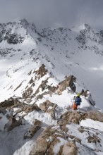
Mountaineer on a narrow mountain ridge in winter, ...
BRK26C56_356
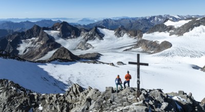
Panorama at the summit of the Wilder Freiger with ...
BRK26C64_458
Mountaineer standing on a rock, surrounded by an i...
BRK26C73_291
Happy mountaineer with ice axes and crampons on th...
BRK26C84_438
Mountaineer on hiking trail in picturesque mountai...
BRK26D04_382
Mountaineer, young man standing on rocks and looki...
BRK26C61_408
Hikers on the Sarella peninsula near Plakias, sout...
BRK26C99_434
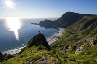
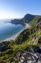
View of coastal landscape, cliffs with peak Måtind...
BRK26C58_214
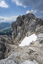
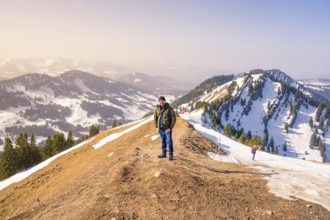
Mountain peak Ackerlspitze with summit cross, moun...
BRK26C57_311
Mountain peak Ackerlspitze with summit cross, moun...
BRK26C57_458
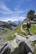
Mountaineer on hiking trail in mountain landscape,...
BRK26C89_153
The Irrel Waterfalls, rapids in the lower reaches ...
BRK26C89_479
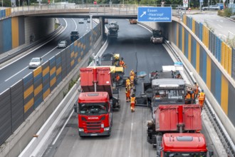
Rehabilitation of the A52 motorway near Essen, an ...
BRK26C73_143
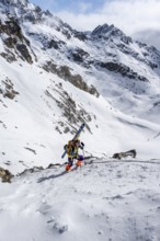
Mountaineer on a snowfield, descent from the summi...
BRK26C74_135
Incidental sun illuminates the passage (Chambre du...
BRK26C86_283
Mountaineer with helmet climbing on the rock in a ...
BRK26C89_348
Mountaineer on a rocky ridge with snow, descent fr...

BRK26C91_242
Motorway A40, Ruhrschnellweg, near Bochum, dense e...
BRK26C65_277
On the summit of Mont Noble, figure of the Virgin ...
BRK26C73_184
A mountaineer on a hiking trail with lush green ve...
BRK26C86_058
Mountaineer on a hiking trail between snow, descen...
BRK26D04_489
Mountaineer on a rock between snow, descent from t...
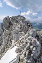
BRK26C58_395
Mountaineer at the summit of the Ackerlspitze, vie...
BRK26C60_094
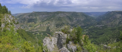
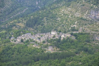
Panoramic view right mountain village Montbrun, mo...
BRK26C84_193
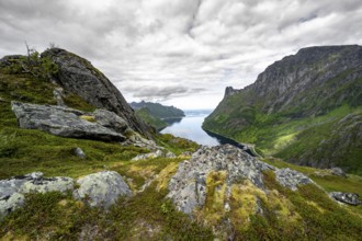
View of Øyfjorden fjord and mountains, fjord lands...
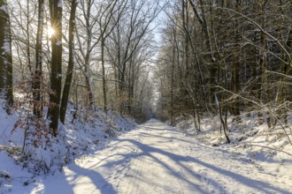
BRK26C91_038
The onset of winter in North Rhine-Westphalia, hea...
BRK26C65_007
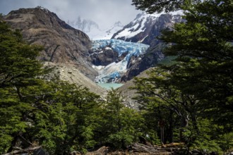
Glacier Piedras Blancas, seen from viewpoint on hi...
BRK26C79_256
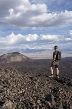
Hiker looks at a vast volcanic landscape under a c...
BRK26C67_103
View to the village of Montbrun, mountain hike Les...
BRK26C78_155
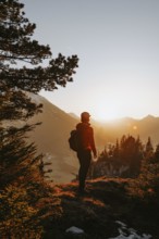
Evening mood, mountaineer standing on a rocky outc...
BRK26C61_302
Hiker in the Allgäu at sunset in spring on the Zir...
BRK26C61_340
Plogoff, Brittany, France - Hiking trail to the Po...
BRK26C71_341
Climbers on a hiking trail, Slaughter Ridge Trail,...
BRK26C78_398
A hiker stands on a snow-covered mountain ridge wi...
BRK26C98_175
Hiking in the snow in the snow-covered winder land...
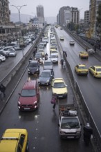
BRK26C99_079
Damascus, Syria. December 6th 2025. A wet and busy...
BRK26C82_432
Female hiker standing in front of landscape with m...
BRK26C98_469
Hiker looking down into the valley from the Hochkö...
BRK26C64_318
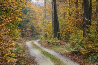
Landscape of a trail going through the European be...
BRK26C63_257
Hiker in the Allgäu at sunset in spring on the Zir...
BRK26C66_293
Heath trail through the Gohrischer Heide near Gröd...

BRK26C72_294
Woman hiking at sunrise in Joshua Tree National Pa...
BRK26C74_079
Trail running on the Grubigstein in the Tiroler Zu...
BRK26C92_403
Young female hiker climbs over dangerous ladders, ...
BRK26C93_040
Young hiker looking at the impressive mountains an...
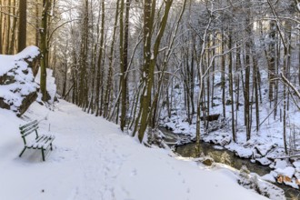
BRK26C59_281
Hiking trail in the snow in the Wesenitz valley al...
BRK26C59_484
Beautiful landscape of the Mountain silhouettes of...
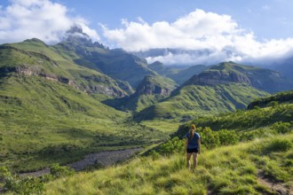
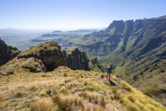
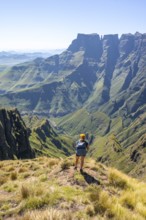
BRK26D01_187
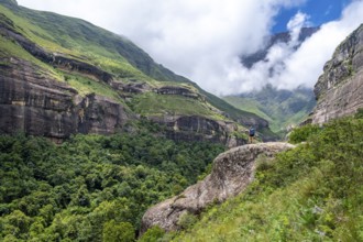
Young female hiker between mountains, Drakensberg ...
BRK26C58_159
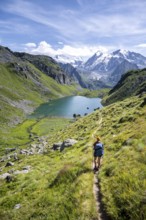
Hiker, mountain lake Lac de Louvie with glaciated ...
BRK26C65_407
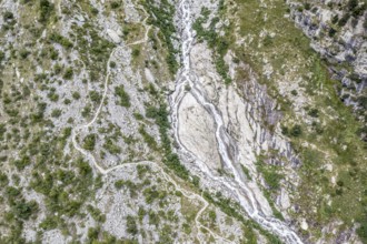
Aerial view, glacial stream flows around a large r...
BRK26C70_431
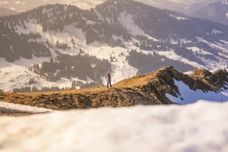
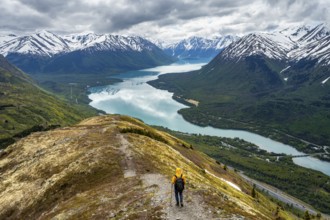
Person enjoying the view of an impressive, snow-co...
BRK26C74_468
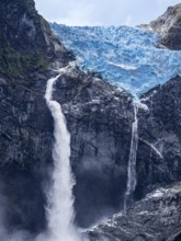
Hanging glacier, Ventisquero Colgante, Quelat nati...
BRK26C61_032
Beautiful landscape of the forest in the Sexten Do...
BRK26C61_145
Straight hiking trail on a former railway embankme...
BRK26C91_021
Mountaineer on a hiking trail, mountain landscape ...
BRK26C95_003
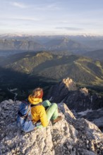
Young hiker looking at the impressive mountains an...
BRK26D00_213
Hiking trail through a young avenue near Förderger...
BRK26C72_421
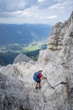
Climber on a climbing tour, on a mountain ridge, b...
BRK26D00_442
Climber on the Alpspitz via ferrata, via ferrata i...
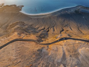
BRK26D02_080
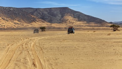
Two vehicles leave tracks on a large, flat expanse...
BRK26C63_100
Mountaineer on the foresummit of the Hochunnütz wi...
BRK26C69_352
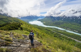
Mountaineer enjoys views of blue lake and mountain...
BRK26C61_038
A hiker on a coastal path. View of Rose-an Hale Co...
BRK26C62_396
Road bike rider in spring near Halblech in the All...
BRK26C67_118
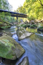
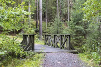
Alte Acht Bridge, wooden bridge on the Alte Acht h...
BRK26C95_305
Mountaineer on a snowfield, mountain basin with gl...
BRK26C76_036
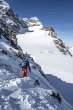
Mountaineer with skis at the fork Porta d'Es-cha, ...
BRK26C87_316
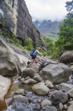
Female hiker jumping over rocks, Tugela Gorge or T...

BRK26C90_219
Xining, CHN, 27/02/09 - A butcher cuts up a side o...
BRK26C72_400
Road on cliffs in evening light, steep cliffs on t...
BRK26C90_317
Climbers on a hiking trail, Slaughter Ridge Trail,...
BRK26C94_485
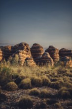
Bungle Bungle Range, Outback, hiking in Australia ...
BRK26C98_391
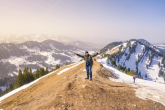
A hiker with outstretched arms enjoys the view fro...
BRK26C61_239
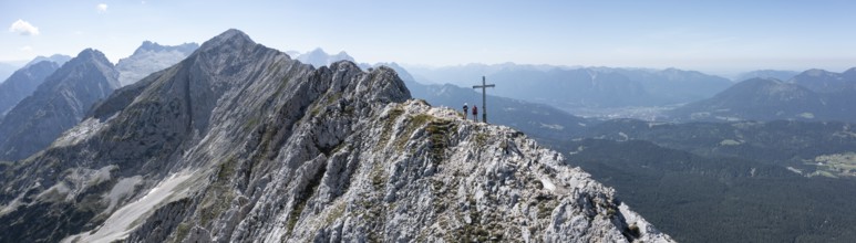
Aerial view, Alpine panorama, hikers at the summit...
BRK26C68_463
Climbers on a hiking trail on Slaughter Ridge, vie...
BRK26C96_397
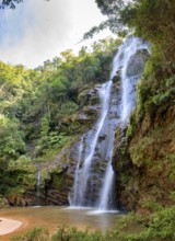
Stunning waterfall among the dense vegetation and ...
BRK26C72_452
Hiking tour on the Hönig mountain in the Lechtal v...
BRK26C87_107
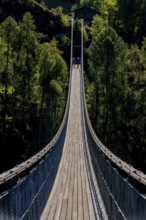
Suspension bridge in Ernen, hike, fear of heights,...
BRK26D01_460
Hiker on a ridge in the mountains, Schaffauer, Wil...
BRK26C57_355
Mountaineer with skis at the fork Porta d'Es-cha, ...
BRK26C66_370
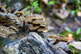
Mushrooms sprouting on the trunk of a fallen tree ...
BRK26C71_499
Mountaineer on the summit of Piz Grialetsch in win...
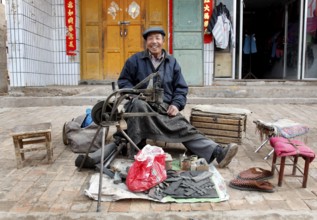
BRK26C76_066
Xining, CHN, 27.02.09 - portrait of a Chinese shoe...
BRK26C82_166
Road on cliffs in evening light, steep cliffs on t...
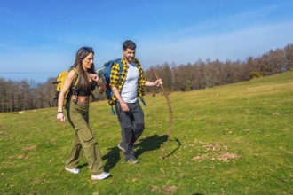
BRK26C56_372
Young couple walking hand in hand across a vibrant...
BRK26C69_211
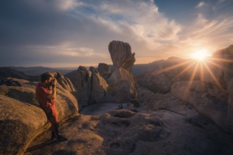
A photographer captures the stunning sunset over P...
BRK26C70_179
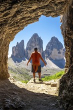
Tourist enjoying the breathtaking view of the tre ...
BRK26C70_338
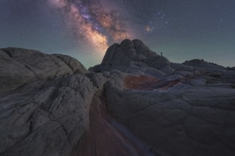
A lone man stands under the majestic Milky Way gal...
BRK26C70_350
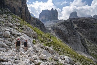
Two mountaineers in front of picturesque mountain ...
- Page
-
- sur
- 175