3886 résultats pour : nature pollution
- Page
-
- sur
- 39
Connectez-vous pour plus de résultats
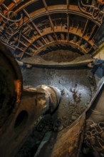
BRK26C57_117
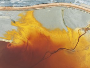
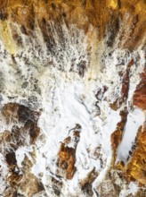
Waste pond in the mineral-rich area of the Rio Tin...
BRK26C65_215
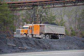
Harlan County, Kentucky - Coal is loaded in trucks...
BRK26C75_321
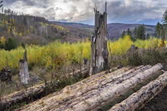
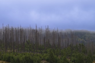
Forest death in the Harz Mountains, forest, wind t...
BRK26C61_306
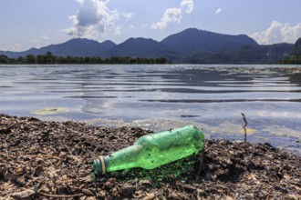
Empty beer bottle lying on the shore of a lake, ru...
BRK26C67_053
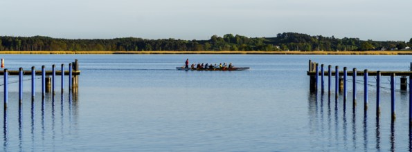
The harbour of Sellin, Rügen, Mecklenburg-Vorpomme...
BRK26C65_154
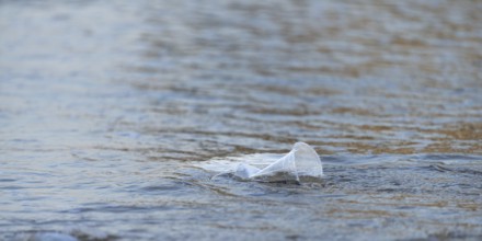
Plastic waste on the beach, Charlie Beach, Koh Moo...
BRK26D05_183
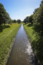
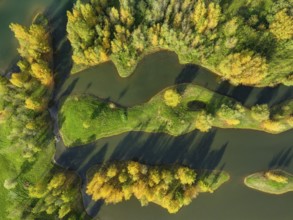
Dinslaken, North Rhine-Westphalia, Germany, The Em...
BRK26C56_257
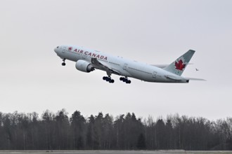
Aircraft Air Canada, Boeing 777-200, C-FIUF, Zuric...

BRK26C87_451
Wellen brechen an einem Felsen im Meer an einem so...
BRK26C87_135
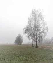
Landscape photography, fog in January, Berlin Lüba...
BRK26C93_110
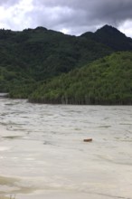
Detail of a waterfall in the Rio Tinto (Red river)...
BRK26C65_271
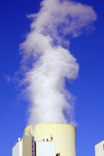
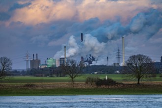
Großkrotzenburg, Bavaria, Germany, Uniper coal-fir...
BRK26C74_091
Cooling tower of the Duisburg-Walsum coal-fired po...
BRK26C71_434
Landscape Oman, Raysut Waste Water Treatment Plant...
BRK26C63_342
Winter landscape on the mountain top of the Czorne...

BRK26C60_347
Winter landscape on the summit of the Czorneboh, t...
BRK26C81_394
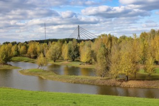
Wesel, Lower Rhine, North Rhine-Westphalia, German...

BRK26C85_048
Oberhausen, North Rhine-Westphalia, Germany, Gasom...
BRK26C80_060
Oberhausen, Ruhr area, North Rhine-Westphalia, Ger...
BRK26C65_108
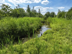
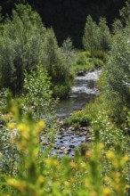
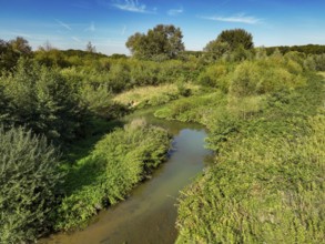
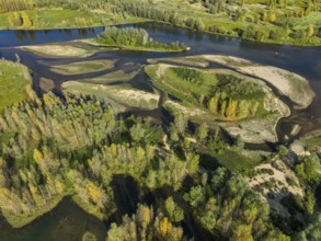
Bottrop, North Rhine-Westphalia, Germany, Renatura...
BRK26C80_488
Oberhausen, Ruhr area, North Rhine-Westphalia, Ger...
BRK26C78_085
Oberhausen, Ruhr area, North Rhine-Westphalia, Ger...
BRK26C73_003
Oberhausen, Ruhr area, North Rhine-Westphalia, Ger...
BRK26C73_162
Oberhausen, Ruhr area, North Rhine-Westphalia, Ger...
BRK26C74_346
Oberhausen, Ruhr area, North Rhine-Westphalia, Ger...
BRK26C94_273
Oberhausen, Ruhr area, North Rhine-Westphalia, Ger...
BRK26C62_186
Duisburg, Ruhr area, North Rhine-Westphalia, Germa...
BRK26C74_392
Theme photo Emscher conversion, the Emscher system...
BRK26C25_467
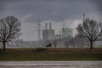
Riders on the banks of the Rhine opposite Krefeld-...

BRK26C46_091
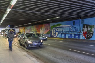
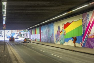
Huge street art pictures in a road tunnel in Gelse...
BRK26C25_466
Hüttenwerke Krupp-Mannesmann, HKM in Duisburg-Hütt...

BRK26C15_346
Turbulent sea waves with foam and ripples in deep ...

BRK26C46_090
Huge street art pictures in a road tunnel in Gelse...
BRK26C09_171
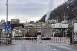
Schubverband HGK Herkules II, coal for the steel i...
BRK26B98_225
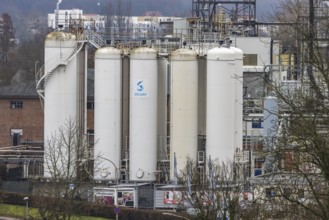
Plant view of the company Solvay Fluor GmbH. The B...
BRK26C45_409
Plant view of the company Solvay Fluor GmbH. The B...

BRK26C55_080
Doctor carefully rubbing and washing hands to prev...
BRK26C22_222
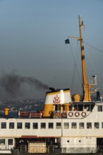
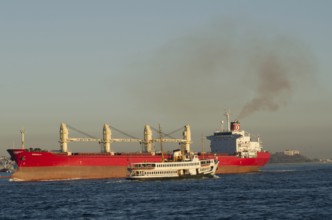
Istanbul, Turkey January 5th 2022 A Turkish Bospor...
BRK26C48_038
Wesel, Lower Rhine, North Rhine-Westphalia, German...
BRK26C49_299
Bottrop, North Rhine-Westphalia, Germany - Renatur...
BRK26C23_496
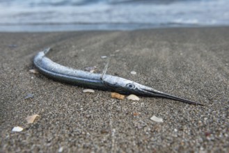
A dead Gar fish washed up on the beach of the Blac...
BRK26C41_028
In northeast Syria on January 19, 2026, the Syrian...

BRK26C25_012
Alexandria, Egypt. December 1st 2022 Young Egyptia...
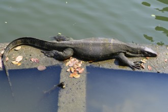
BRK26C27_471
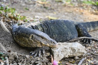
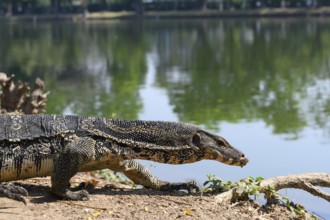
Large monitor lizards, the water monitor is a comm...
BRK26C22_184
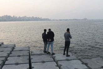
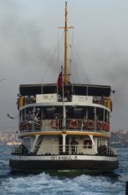
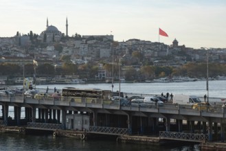
Bosporus strait, Istanbul, Turkey. March 31st 2014...
BRK26C30_039
Large monitor lizards, the water monitor is a comm...
BRK26C25_017
Alexandria, Egypt. December 1st 2022 Young Egyptia...
BRK26C25_180
Alexandria, Egypt. December 1st 2022 Construction ...
BRK26C22_158
Istanbul, Turkey. 18th April 2016 A man riding a m...
BRK26C25_188
Alexandria, Egypt. December 1st 2022 Young Egyptia...
BRK26C27_473
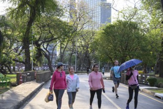
Bangkok, Thailand. March 4th 2025. People enjoy wa...
BRK26C25_183
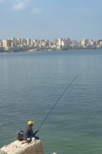
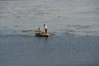
Alexandria, Egypt. December 1st 2022 A local fishe...
BRK26C30_269
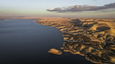
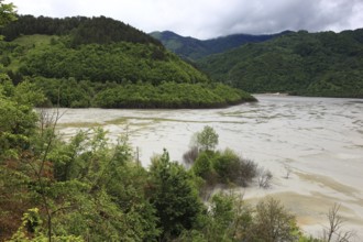
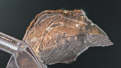
Romania, poisonous lake at the mining village of R...
BRK26C49_298
Bottrop, North Rhine-Westphalia, Germany - Renatur...
BRK26C53_473
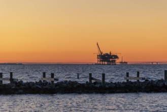
Oil and gas drilling rigs on the Gulf of Mexico ho...
BRK26C27_226
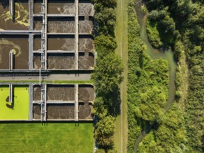
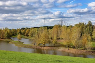
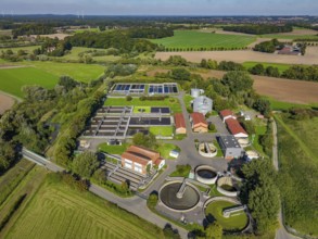
Datteln, North Rhine-Westphalia, Germany - Wastewa...
BRK26C27_231
Datteln, North Rhine-Westphalia, Germany - Renatur...
BRK26C30_261
Romania, poisonous lake at the mining village of R...
BRK26C48_037
Wesel, Lower Rhine, North Rhine-Westphalia, German...
BRK26C26_321
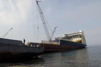
Izmir, Turkey. January 15th 2015 Ship breaking yar...
BRK26C45_170
Dead trees Mountain spruce forest deaths in the Ha...
BRK26C22_320
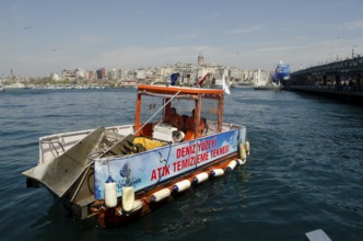
Istanbul, Turkey. April 11th 2012 Collecting waste...
BRK26C30_038
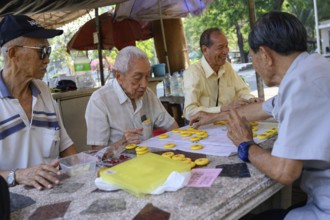
Bangkok, Thailand. March 4th 2025. Old men play Ch...
BRK26C22_259
Istanbul, Turkey. December 19th 1st 2014 Inter-con...
BRK26C25_003
Busy traffic with lots of public mini buses along ...
BRK26C25_201
Alexandria, Egypt. December 1st 2022 Muslim women ...
BRK26C22_314
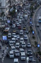
Istanbul, Turkey. November 14th 2023 Heavy traffic...
BRK26C27_474
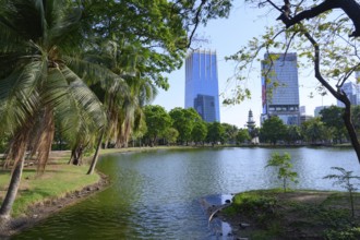
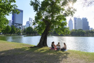
Bangkok, Thailand. March 4th 2025. A rare urban gr...
BRK26C14_141
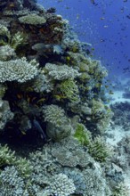
A rich, colorful coral reef bustling with marine l...
BRK26C17_219
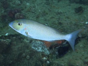
A blue-grey longnose street sweeper (Lethrinus neb...
BRK26C55_030
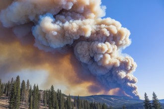
Massive forest wildfire smoke rising over mountain...

BRK26B67_149
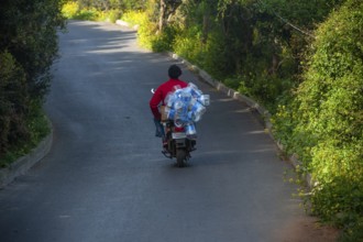
Cappadocia, Turkey. 17th September 2018 Motorcycle...
BRK26B54_490
Cairo, Egypt. November 26th 2022 Compressed stack ...
BRK26C02_048
Wesel, Lower Rhine, North Rhine-Westphalia, German...
BRK26C02_047
Wesel, Lower Rhine, North Rhine-Westphalia, German...
BRK26B99_143
Huge street art pictures in a road tunnel in Gelse...
BRK26B99_142
Huge street art pictures in a road tunnel in Gelse...

BRK26B94_268
Forest death in the Harz Mountains, forest, wind t...
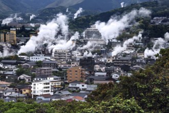
BRK26B92_220
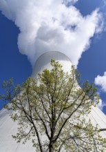
Urban landscape crossed by columns of steam, mount...
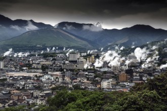
BRK26B92_221
Panorama of a city in mountainous surroundings cro...
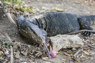
BRK26B61_460
Large monitor lizards, the water monitor is a comm...
BRK26B61_447
Bangkok, Thailand. March 4th 2025. The Chinese Clo...
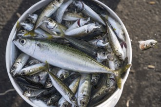
BRK26B66_149
A Turkish fisherman's fresh catch of small fish ca...
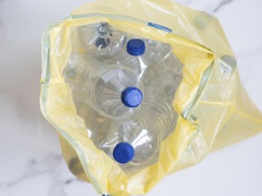
BRK26C01_356
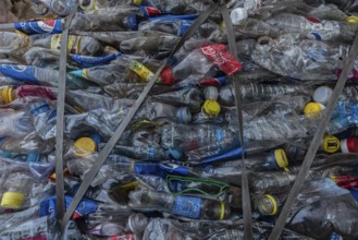
Plastic bottles with blue caps collected in yellow...
BRK26B66_235
Large monitor lizards, the water monitor is a comm...
BRK26B89_119
In northeast Syria on January 19, 2026, the Syrian...
BRK26B61_448
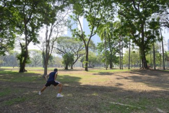
Bangkok, Thailand. March 4th 2025. A local man doe...
BRK26B61_452
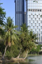
A rare urban green space with palm trees in the ci...

BRK26B66_254
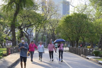
Bangkok, Thailand. March 4th 2025. People enjoy th...
BRK26B60_420
Datteln, North Rhine-Westphalia, Germany - Wastewa...
BRK26B61_433
Bangkok, Thailand. March 4th 2025. People enjoy wa...

BRK26B61_434
Bangkok, Thailand. March 4th 2025. A rare urban gr...
BRK26B61_451
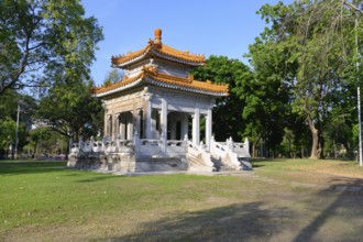
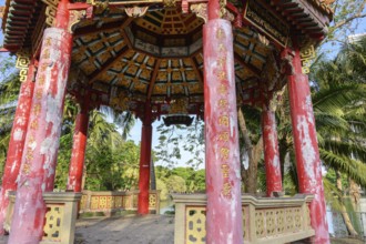
Bangkok, Thailand. March 4th 2025. The calm green ...
BRK26B54_492
Al Qanatir Al Khayriyyah, Egypt. December 18th 202...
BRK26B61_450
Bangkok, Thailand. March 4th 2025. The beautiful o...
BRK26B61_459
Bangkok, Thailand. March 4th 2025. People enjoy a ...
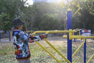
BRK26B61_455
Bangkok, Thailand. March 4th 2025. An elderly lady...
BRK26B66_251
Bangkok, Thailand. March 4th 2025. A local man doe...
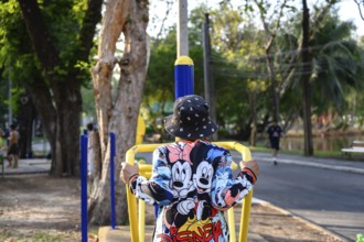
BRK26B61_449
Bangkok, Thailand. March 4th 2025. An elderly lady...
BRK26B94_349
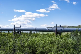
Alaska Pipeline Oil Pipeline, Alaska Range, Richar...
- Page
-
- sur
- 39