10772 résultats pour : mountain path
- Page
-
- sur
- 108
Connectez-vous pour plus de résultats
BRK26C60_182
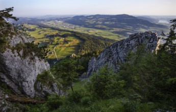
Hiking trail to the Schober with a view to Thalgau...
BRK26C70_096
Winter, snowy landscape, river Breitach and hiking...
BRK26C73_024
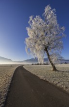
Tree, birch, hoarfrost, fog, path, sunny, mountain...
BRK26C76_346
View from the high-altitude hiking trail from Bols...
BRK26C57_108
View of the Königssee from the Rinnkendlsteig moun...
BRK26C99_150
Hiking trail in the Umbaltal valley with Isel moun...
BRK26C70_446
Mountaineer on a hiking trail with snow, descent f...
BRK26C85_406
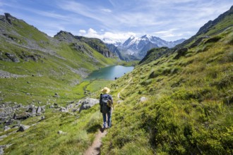
Mountaineer on a hiking trail at a mountain lake w...
BRK26D02_174
Winter, snowy landscape, icicles, river Breitach a...
BRK26D02_263
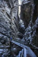
Winter, snowy landscape, hiking trail through the ...
BRK26C84_438
Mountaineer on hiking trail in picturesque mountai...
BRK26C57_364
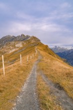
Narrow hiking trail on a remote mountain ridge, Pl...
BRK26C57_450
Hiking trail on the Riffelalp with golden yellow l...
BRK26C57_458
Mountaineer on hiking trail in mountain landscape,...
BRK26C73_143
Mountaineer on a snowfield, descent from the summi...
BRK26C88_162
View of the Königssee from the Rinnkendlsteig moun...
BRK26C89_348
Mountaineer on a rocky ridge with snow, descent fr...
BRK26C73_184
A mountaineer on a hiking trail with lush green ve...
BRK26C86_058
Mountaineer on a hiking trail between snow, descen...
BRK26D04_489
Mountaineer on a rock between snow, descent from t...
BRK26C66_193
Weathered tree on the path from Ochsenberg to Eibl...
BRK26C96_149
View of the Königssee from the Rinnkendlsteig moun...
BRK26C69_246
Tourist with camera on a hiking trail, Snow-covere...
BRK26C76_091
Tree, birch, light green leaves, morning light, fo...
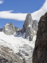
BRK26C58_029
Aguja Saint Exupery, Laguna de los Tres Trail, Mou...
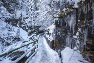
BRK26C60_004
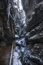
Winter, snowy landscape, icicles, hiking trail thr...
BRK26C71_341
Climbers on a hiking trail, Slaughter Ridge Trail,...
BRK26C81_219
Sunrise on the Hooker Valley Track hiking trail, M...
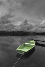
BRK26D05_108
Storm clouds at sunset, a green rowing boat lashed...
BRK26C58_300
On the hiking trail of the Tongariro Alpine Crossi...
BRK26C73_297
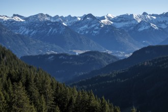
Landscape with snow-covered mountains and a narrow...
BRK26C98_074
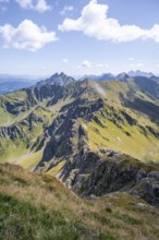
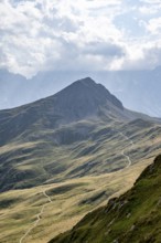
Mountain ridge of the Carnic Main Ridge, Carnic Hi...
BRK26C58_171
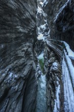
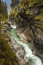
The river Lammer in the gorge Lammerklamm (Lammerö...
BRK26C78_134
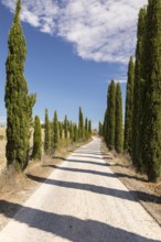
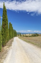
Avenue of cypress trees (Cupressus sempervirens) n...
BRK26C79_173
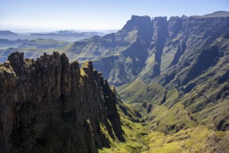
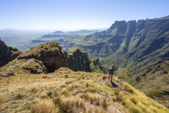
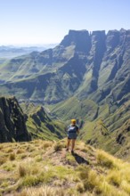
Impressive mountains and cliffs of the Drakensberg...
BRK26C65_110
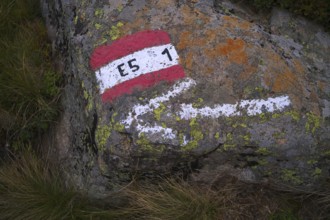
Marking, labelling, long-distance hiking trail E5,...
BRK26C70_427
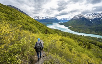
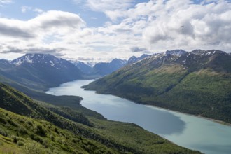
View of blue lake and mountains on Twin Peaks Trai...
BRK26C92_403
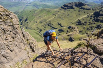
Young female hiker climbs over dangerous ladders, ...
BRK26C93_040
Young hiker looking at the impressive mountains an...
BRK26C60_161
Hohburg tunnel in Friedewald near Moritzburg, Saxo...
BRK26C63_195
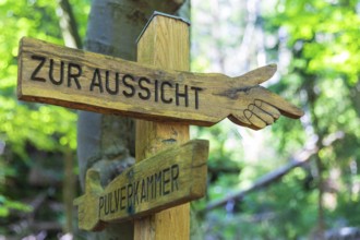
Wooden hiking sign points the way to the view or t...
BRK26C65_407
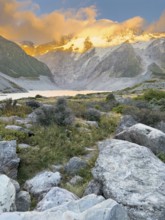
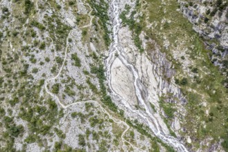
Aerial view, glacial stream flows around a large r...
BRK26C91_378
Person on a snowy mountain trail with sweeping vie...
BRK26C91_021
Mountaineer on a hiking trail, mountain landscape ...
BRK26C93_007
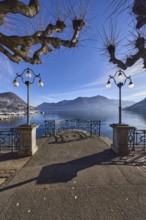
Lake, lakeside promenade, lanterns, trees, railing...
BRK26C95_003
Young hiker looking at the impressive mountains an...
BRK26C70_269
View of blue lake and mountains on Twin Peaks Trai...
BRK26C58_379
Hiking trail, Carnic Main Ridge, Carnic High Trail...
BRK26C69_352
Mountaineer enjoys views of blue lake and mountain...
BRK26C94_276
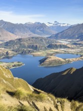
Hiking trail to Roys Peak Lookout, Lake Wanaka, Wa...
BRK26D04_200
Long half avenue with columnar cypresses (Cupressu...
BRK26C87_048
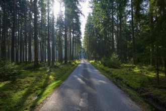
A narrow path leads through a dense forest, sunlig...
BRK26C62_100
Narrow path in winter forest with sun, Erzgebirge,...
BRK26C64_141
Signpost on the First (1663m) with hiking trails o...
BRK26C90_317
Climbers on a hiking trail, Slaughter Ridge Trail,...
BRK26C58_107
The river Lammer in the gorge Lammerklamm (Lammerö...
BRK26C68_463
Climbers on a hiking trail on Slaughter Ridge, vie...
BRK26C72_144
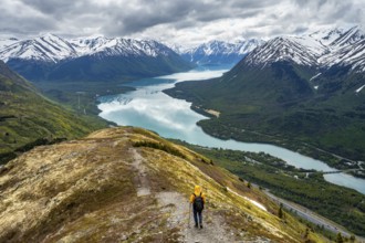
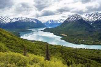
View of snowy mountains in spring and turquoise bl...
BRK26C70_284
View of snowy mountains in spring and turquoise Ke...
BRK26C73_295
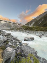
Suspension bridge on the Hooker Valley Track hikin...
BRK26C74_337
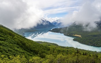
View of snowy mountains in spring and turquoise bl...
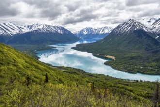
BRK26C80_433
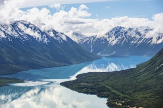
View of snowy mountains and turquoise lake Kenai L...
BRK26C70_390
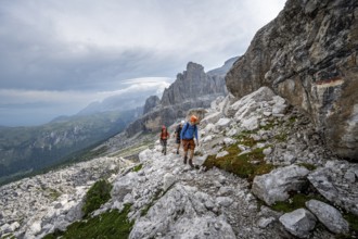
Three mountaineers on a hiking trail, rocky mounta...
BRK26C79_085
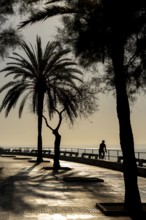
Promenade on the bay of Palma de Majorca, Spain
BRK26C90_089
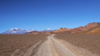
A captivating shot of a winding dirt road stretchi...
BRK26C97_453
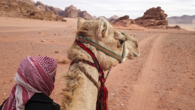
A traditional bedouin guiding a camel through the ...
BRK26D04_114
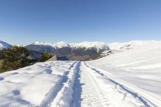
A pristine snowmobile trail cuts through a winter ...
BRK26C66_363
Idledale, Colorado - Hikers on the Bruin Bluff Tra...
BRK26C72_374
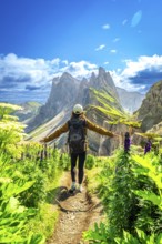
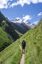
Hiker walking along a path with open arms, enjoyin...
BRK26C77_476
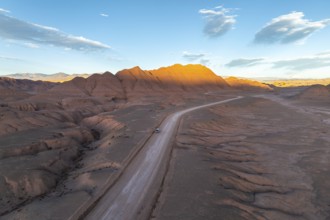
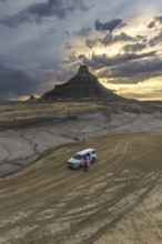
Aerial view of a vehicle in a empty desert road wi...
BRK26C62_142
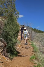
Tourists enjoying a summer hike on a mountain path...
BRK26C69_405
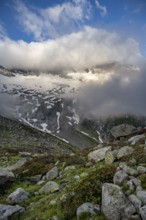
Cloudy mountain landscape with blooming alpine ros...
BRK26C92_345
A woman with a backpack stands on a rocky path in ...
BRK26C95_116
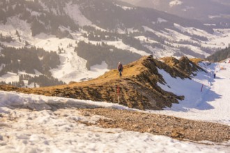
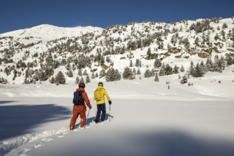
Two free skiers in vibrant gear traverse untouched...
BRK26C66_176
Red-brown lady's slipper (Cypripedium calceolus), ...

BRK26C95_274
Sunbeams shine through bright orange autumn leaves...

BRK26C65_484
Sunrise in the vineyards around Wackerbarth Castle...
BRK26C80_310
A man takes a break from trail running to hydrate,...
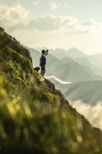
BRK26C84_086
A lone man stands on a scenic mountain trail, taki...
BRK26C71_470
A magic forest scene with moss covered trees envel...
BRK26C74_133
Tre cime di lavaredo peaks viewed from a Tre Cime ...
BRK26C76_322
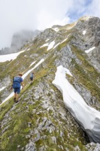
Mountaineer on a secured path with snow, climbing ...
BRK26C84_062
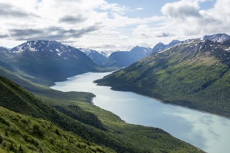
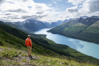
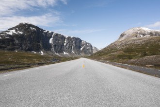
Experience the breathtaking scenery of Norway with...
BRK26C91_380
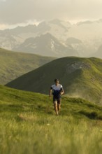
A lone runner navigates a picturesque trail throug...
BRK26C95_485
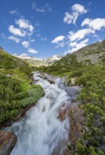
Mountain landscape with mountain stream Zemmbach, ...
BRK26C60_235
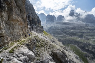
Mountaineer on an exposed mountain hiking trail, R...
BRK26C78_149
From above an unrecognizable person standing next ...
BRK26C95_178
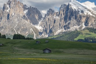
Charming wooden huts scattered across lush green m...
BRK26C60_472
Two mountaineers with helmets on a narrow hiking t...
BRK26C59_401
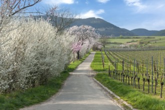
A picturesque path between blossoming trees and vi...
BRK26C71_219
Two mountaineers on a hiking trail in front of a p...
BRK26C76_218
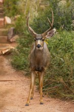
A mule deer confidently walks down a trail surroun...
BRK26C94_080
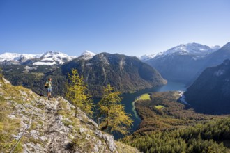
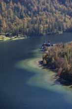
Königssee and St. Bartholomä pilgrimage church, vi...
BRK26D00_039
Mountaineers on a hiking trail in Umbaltal, glacia...
BRK26D02_343
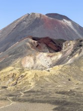
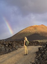
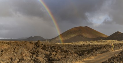
A vibrant rainbow arcs over the rugged volcanic te...
BRK26D04_421
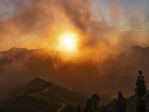
Dramatic sunset lighting up the clouds and mist ov...
BRK26C71_375
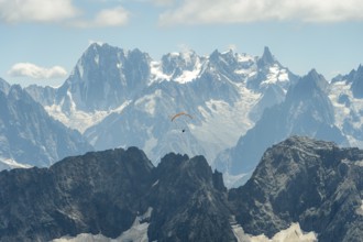
A lone paraglider glides gracefully above the rugg...
BRK26C83_270
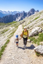
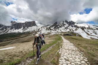
A mother and her young son enjoy a hike at Passo G...
BRK26C85_060
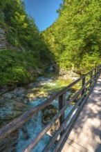
Scenic view of a wooden footbridge over the turquo...
BRK26C94_350
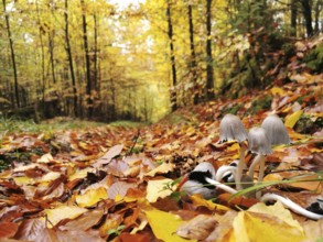
Autumn leaves cover the forest floor, small mushro...
- Page
-
- sur
- 108