6136 résultats pour : levels
- Page
-
- sur
- 62
Connectez-vous pour plus de résultats
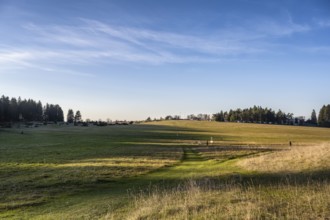
BRK26C63_455
Germany's highest and one of the oldest gliding si...
BRK26C70_314
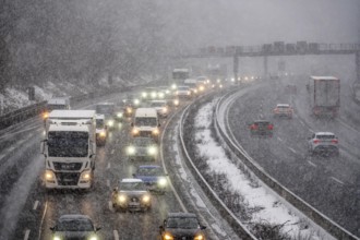
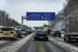
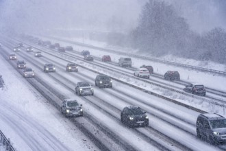
The onset of winter in North Rhine-Westphalia, hea...
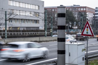
BRK26C66_132
New speed camera on the A40 motorway, in the direc...
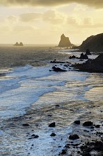
BRK26C59_098
Beach of Playa de Benijo at high tide with the roc...
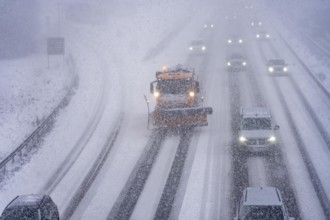
BRK26C99_062
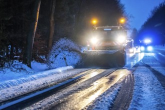
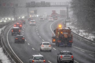
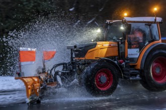
Winter service, spreader and snow plough in use, c...
BRK26C91_038
The onset of winter in North Rhine-Westphalia, hea...
BRK26C67_075
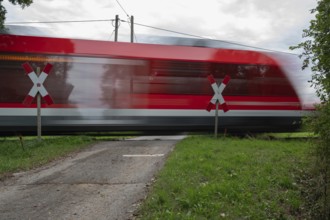
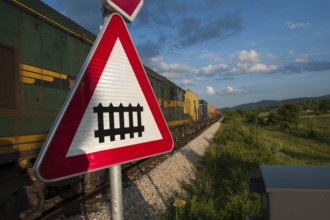
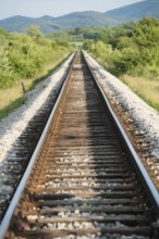
Passing Gräfenberg railway, single-track branch li...
BRK26C88_362
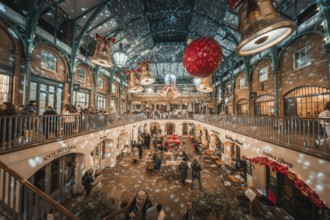
A festive interior with twinkling lights and two-l...
BRK26C69_396
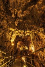
The cave is located about 11 kilometres from Alany...
BRK26C76_454
Rail Travel in Serbia, The Balkans

BRK26C62_047
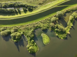
Seagrass meadows on the mudflats in the Schleswig-...
BRK26C55_386
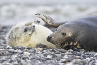
Grey seal, also Atlantic or horsehead seal (Halich...
BRK26C72_378
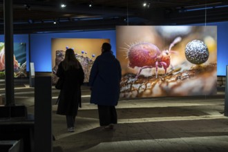
New exhibition at Gasometer Oberhausen, art sculpt...
BRK26D05_145
Henri Matisse, Henri Emile Benoit Matisse (born 31...
BRK26C93_076
The onset of winter in North Rhine-Westphalia, hea...
BRK26C68_408
New exhibition at Gasometer Oberhausen, art sculpt...

BRK26D02_450
Fresh meaty tomato on wooden cutting board with ba...
BRK26C68_057
Close-up of a nurse checking blood sugar level by ...
BRK26C59_479
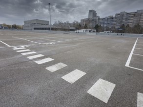
Symbolic image economic crisis, dark clouds in the...
BRK26C80_162
New exhibition at Gasometer Oberhausen, Mythos Wal...
BRK26C55_335
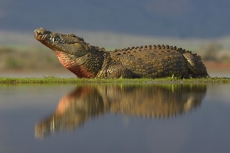
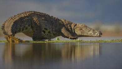
Nile crocodile (Crocodylus niloticus) resting, ref...
BRK26C76_219
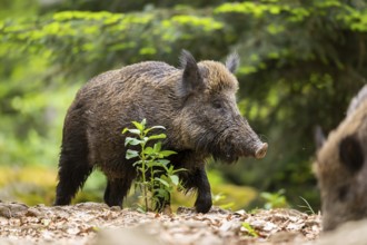
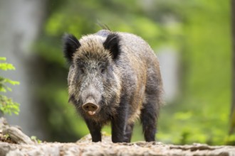
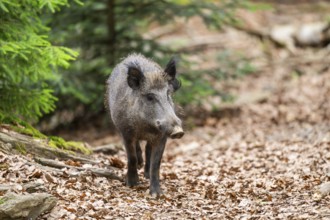
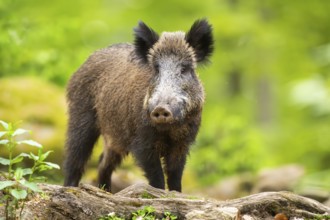
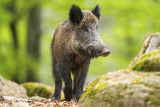
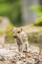
Wild boar (Sus scrofa) walking in a forest, Bavari...
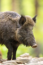
BRK26C83_424
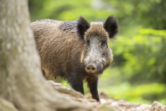
Wild boar (Sus scrofa) walking in a forest, Bavari...
BRK26C77_040
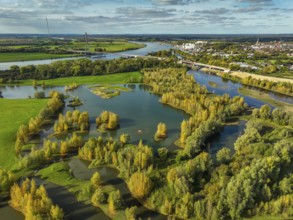
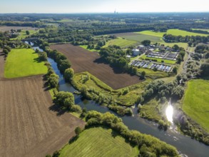
Datteln, North Rhine-Westphalia, Germany - Lippe, ...
BRK26C98_252
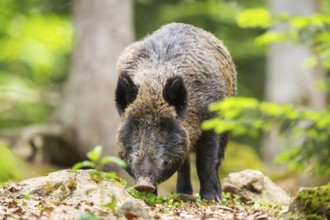
Wild boar (Sus scrofa) standing in a forest, Bavar...
BRK26C78_339
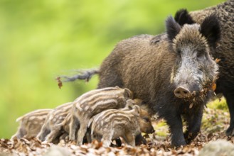
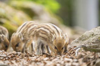
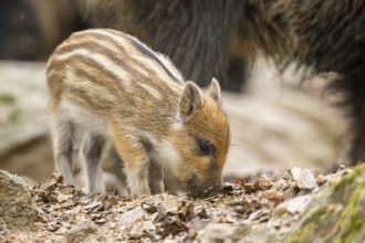
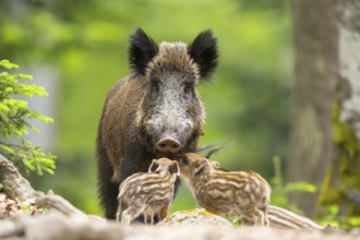
Wild boar (Sus scrofa) piglets (Squeaker) suckle m...
BRK26C78_382
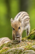
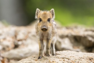
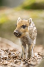
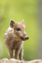
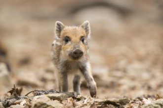
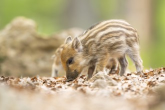
Wild boar (Sus scrofa) piglet standing in a forest...
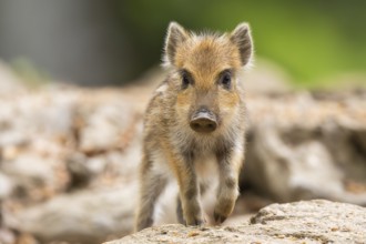
BRK26C78_055
Wild boar (Sus scrofa) piglet walking in a forest,...
BRK26C89_371
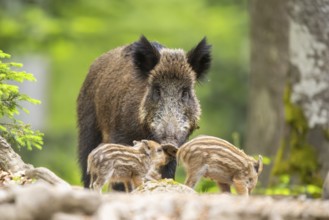
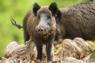
Wild boar (Sus scrofa) mother with her piglets (Sq...
BRK26C78_446
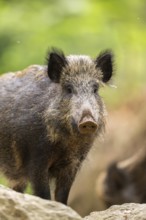
Wild boar (Sus scrofa) standing in a forest, Bavar...
BRK26C81_394
Wesel, Lower Rhine, North Rhine-Westphalia, German...
BRK26C97_403
Wild boar (Sus scrofa) walking in a forest, Bavari...
BRK26C73_331
Haltern-Marl, North Rhine-Westphalia, Germany - Li...
BRK26C81_103
Wild boar (Sus scrofa) piglet standing in a forest...
BRK26C83_475
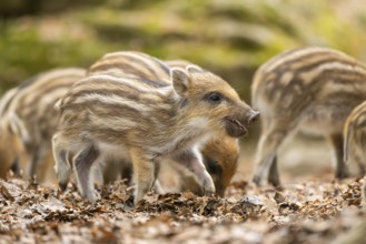
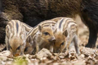
Wild boar (Sus scrofa) piglets standing in a fores...
BRK26C74_207
Wild boar (Sus scrofa) piglet standing in a forest...

BRK26C79_469
Wild boar (Sus scrofa) piglet standing in a forest...
BRK26C71_295
Wild boar (Sus scrofa) piglets (Squeaker) suckle m...
BRK26D00_457
Wild boar (Sus scrofa) standing in a forest, Bavar...
BRK26C74_278
Wild boar (Sus scrofa) standing in a forest, Bavar...
BRK26C82_011
Wild boar (Sus scrofa) standing in a forest, Bavar...
BRK26C98_084
Wild boar (Sus scrofa) piglet standing in a forest...
BRK26C72_103
Wild boar (Sus scrofa) piglets standing in a fores...
BRK26C73_084
Wild boar (Sus scrofa) piglet walking in a forest,...
BRK26C80_038
Wild boar (Sus scrofa) walking in a forest, Bavari...
BRK26C87_290
Wild boar (Sus scrofa) piglet standing in a forest...
BRK26C69_104
Haltern-Marl, North Rhine-Westphalia, Germany - Li...
BRK26C81_098
Haltern-Marl, North Rhine-Westphalia, Germany - Li...
BRK26C90_329
Haltern-Marl, North Rhine-Westphalia, Germany - Li...
BRK26C69_134
Haltern-Marl, North Rhine-Westphalia, Germany - Li...
BRK26C92_235
Wild boar (Sus scrofa) piglet standing in a forest...
BRK26C96_299
Datteln, North Rhine-Westphalia, Germany - Lippe l...
BRK26C55_340
Nile crocodile (Crocodylus niloticus), walking acr...
BRK26C74_326
Wild boar (Sus scrofa) mother with her piglets (Sq...
BRK26C80_181
Wild boar (Sus scrofa) piglets standing in a fores...
BRK26C93_054
Wild boar (Sus scrofa) piglet standing in a forest...
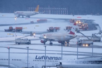
BRK26C44_065
The onset of winter in North Rhine-Westphalia, hea...
BRK26C40_452
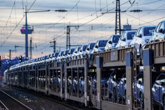
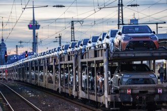
Car train, transport of Toyota small cars with a f...
BRK26C44_064
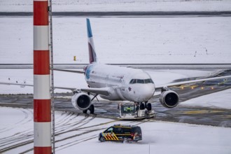
The onset of winter in North Rhine-Westphalia, fli...
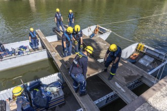
BRK26C48_313
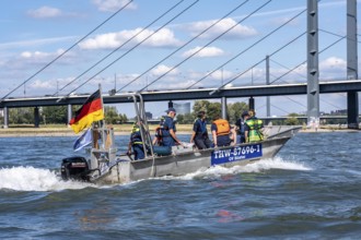
Multi-purpose boat of the THW during a training tr...

BRK26B92_330
Evacuation sign in Toba with instructions for eart...
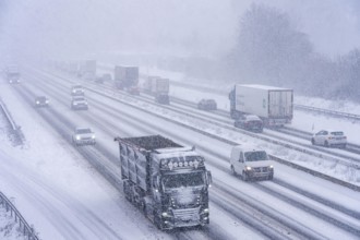
BRK26C44_072
The onset of winter in North Rhine-Westphalia, hea...
BRK26C48_314
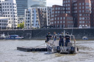
Transport of a floating platform with the jet-floa...
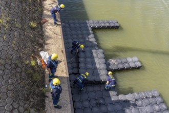
BRK26C48_315
Construction of a floating platform with the jet-f...
BRK26C44_066
The onset of winter in North Rhine-Westphalia, hea...
BRK26C44_068
The onset of winter in North Rhine-Westphalia, hea...
BRK26C09_166
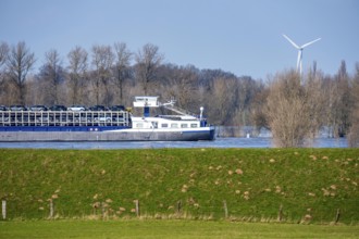
Floods on the Rhine, Lower Rhine near Xanten, Bisl...
BRK26C50_259
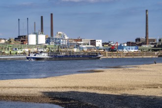
Low water of the Rhine near Leverkusen, Rhine bank...
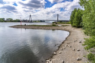
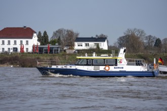
BRK26C50_260
Low water level of the Rhine at Leverkusen, new Rh...
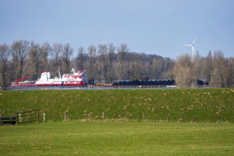
BRK26C09_171
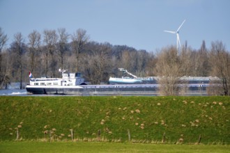
Schubverband HGK Herkules II, coal for the steel i...
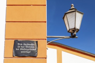
BRK26B82_147
Lantern and façade with sign, Floods are prohibite...
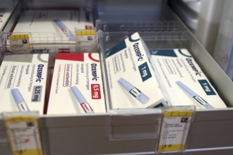
BRK26C17_116
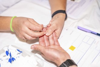
Ozempic, slimming syringe, potency, diabetes, Germ...
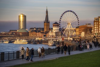
BRK26C44_298
Rhine promenade in Düsseldorf, Ferris wheel, old c...
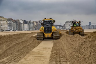
BRK26C28_122
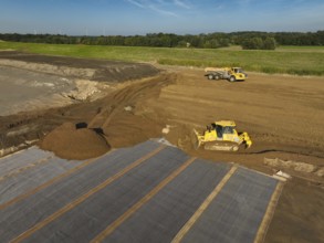
Bulldozers when distributing sand on the beach in ...
BRK26C44_061
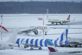
The onset of winter in North Rhine-Westphalia, fli...
BRK26C48_312
Construction of a multi-purpose pontoon, the speci...
BRK26C43_409
Winter service, spreader and snow plough in use, c...
BRK26C44_062
The onset of winter in North Rhine-Westphalia, fli...
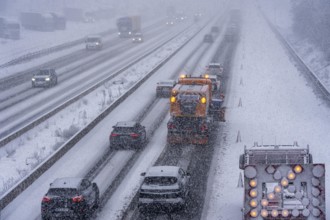
BRK26C44_070
The onset of winter in North Rhine-Westphalia, hea...
BRK26C09_187
Floods on the Rhine, Lower Rhine near Xanten, heig...
BRK26C09_188
Boat of the North Rhine-Westphalia Water Protectio...
BRK26B88_361
Car train, transport of Toyota small cars with a f...
BRK26C30_122
Mülheim, North Rhine-Westphalia, Germany - Transfo...
BRK26C48_038
Wesel, Lower Rhine, North Rhine-Westphalia, German...
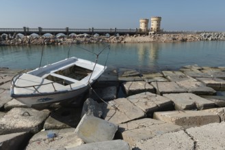
BRK26C25_179
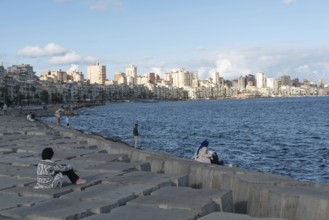
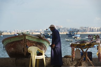
Alexandria, Egypt. December 1st 2022 A boat on con...

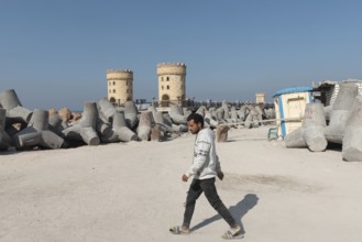
BRK26C25_012
Alexandria, Egypt. December 1st 2022 Young Egyptia...
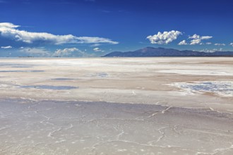
BRK26C05_094
Extensive salt flat with mountains in the backgrou...

BRK26C01_448
Hans Zimmer live on Hans Zimmer - Live - The Next ...
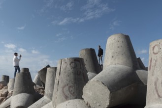
BRK26C25_177
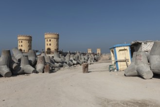
Alexandria, Egypt. December 2nd 2022 Construction ...

BRK26C25_202
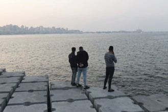
Alexandria, Egypt. December 1st 2022 People on con...
BRK26C25_017
Alexandria, Egypt. December 1st 2022 Young Egyptia...
BRK26C25_180
Alexandria, Egypt. December 1st 2022 Construction ...
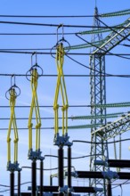
BRK26C30_123
Mülheim, North Rhine-Westphalia, Germany - Transfo...
BRK26C18_447
Rail Travel in Serbia, The Balkans
BRK26C25_013
Alexandria, Egypt. December 1st 2022 Egyptian peop...
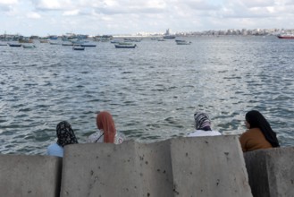
BRK26C25_011
Alexandria, Egypt. December 2nd 2022 Egyptian Musl...
BRK26C25_188
Alexandria, Egypt. December 1st 2022 Young Egyptia...
BRK26C25_035
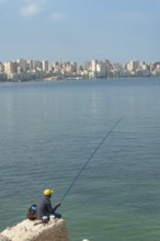
Alexandria, Egypt. December 1st 2022 An informal t...
BRK26C25_183
Alexandria, Egypt. December 1st 2022 A local fishe...
BRK26C27_232
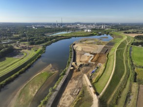
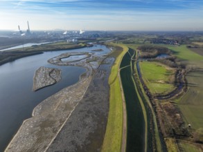
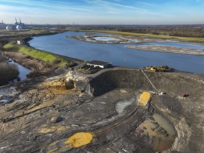
Datteln, North Rhine-Westphalia, Germany - Restore...
- Page
-
- sur
- 62