1804 résultats pour : highroute
- Page
-
- sur
- 19
Connectez-vous pour plus de résultats
BRK26C76_346
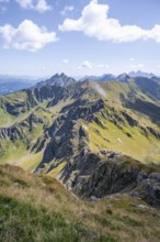
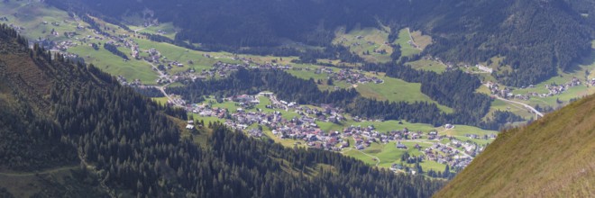
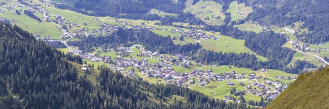
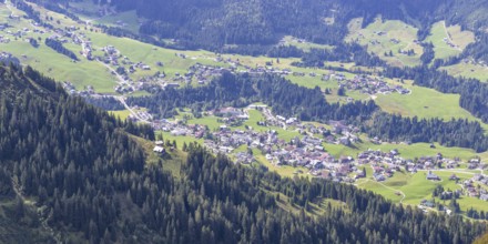
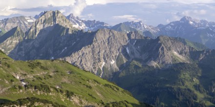
View from the high-altitude hiking trail from Bols...
BRK26C73_143
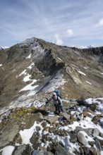
Mountaineer on a snowfield, descent from the summi...
BRK26C86_029
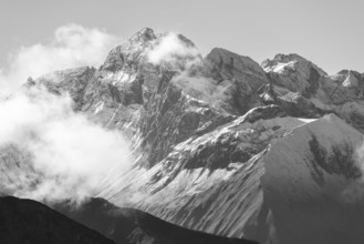
Rocky mountain ridge and glaciated mountain peak G...
BRK26C89_348
Mountaineer on a rocky ridge with snow, descent fr...
BRK26C73_184
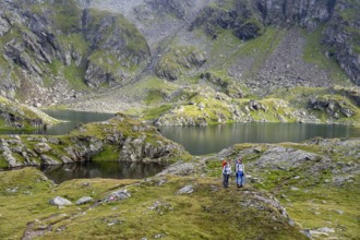
A mountaineer on a hiking trail with lush green ve...
BRK26C86_058
Mountaineer on a hiking trail between snow, descen...
BRK26D04_489
Mountaineer on a rock between snow, descent from t...
BRK26C56_053
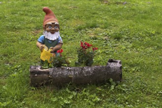
Garden gnome with watering can, Streitweider Alm, ...
BRK26C98_074
Mountain ridge of the Carnic Main Ridge, Carnic Hi...
BRK26C58_379
Hiking trail, Carnic Main Ridge, Carnic High Trail...
BRK26C69_405
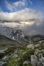
Cloudy mountain landscape with blooming alpine ros...
BRK26C95_485
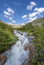
Mountain landscape with mountain stream Zemmbach, ...
BRK26C27_466
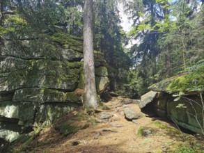
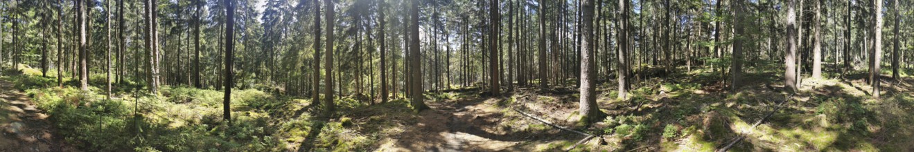
Winding hiking trail through a forest with moss-co...
BRK26C45_251
View from the high-altitude hiking trail from Bols...
BRK26C27_451
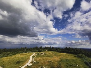
A wide view of the Schneeberg with a hiking trail ...
BRK26C35_427
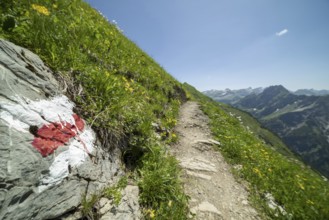
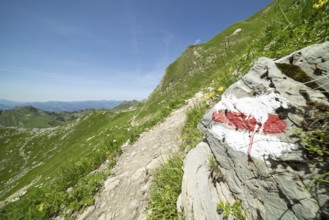
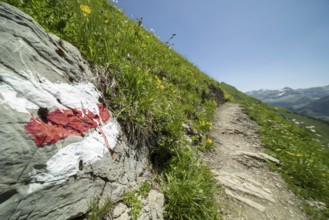
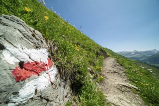
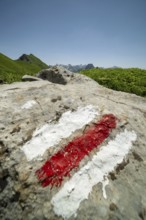
Trail marker on the Laufbacher-Eckweg, a demanding...
BRK26C35_428
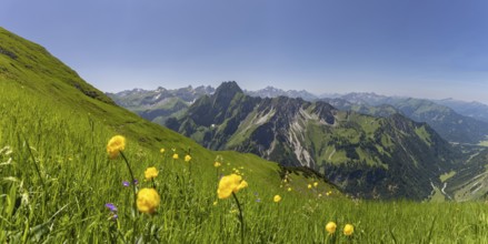
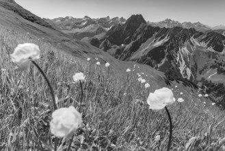
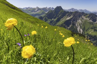
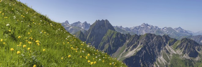
Mountain panorama with troll flowers (Trollius eur...

BRK26C34_108
Mountain panorama with troll flowers (Trollius eur...
BRK26B61_371
Panorama on a hiking trail through a forest with s...
BRK26B97_331
View from the high-altitude hiking trail from Bols...
BRK26B75_012
Mountain panorama with troll flowers (Trollius eur...
BRK26B77_024
Trail marker on the Laufbacher-Eckweg, a demanding...
BRK26B77_025
Mountain panorama with troll flowers (Trollius eur...
BRK26B75_013
Trail marker on the Laufbacher-Eckweg, a demanding...
BRK26B32_479
View from the high-altitude hiking trail from Bols...
BRK26B45_402
Mountain hut Elberfelderhütte in front of a rocky ...
BRK26B06_142
Trail marker on the Laufbacher-Eckweg, a demanding...
BRK26B08_217
Mountain panorama with troll flowers (Trollius eur...
BRK26B05_283
Mountain panorama with troll flowers (Trollius eur...
BRK26B06_137
Mountain panorama with troll flowers (Trollius eur...
BRK26B06_138
Mountain panorama with troll flowers (Trollius eur...
BRK26B05_282
Trail marker on the Laufbacher-Eckweg, a demanding...
BRK26B46_011
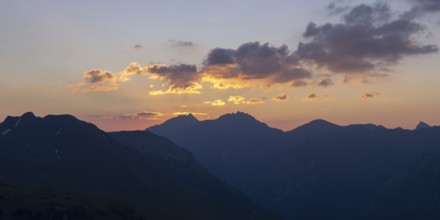
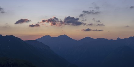
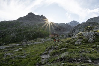
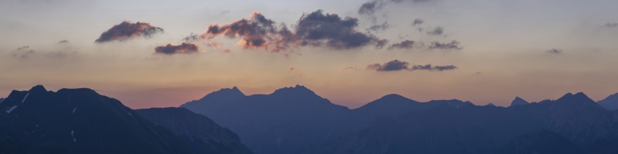
Sunrise from the Zeigersattel on the Nebelhorn, 22...
BRK26B32_372
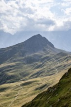
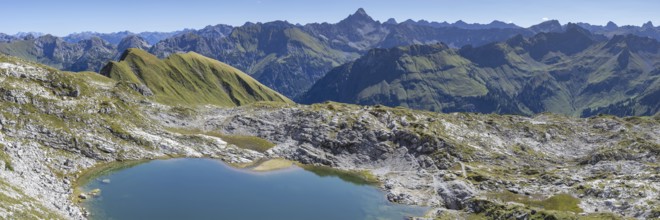
Mountain panorama over Laufbichlsee, behind it the...
BRK26B05_281
Trail marker on the Laufbacher-Eckweg, a demanding...
BRK26B26_313
Panorama from the Fellhorn mountain trail, 2037 m,...
BRK26A81_117
View from the high-altitude hiking trail from Bols...
BRK26A97_471
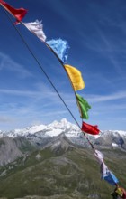
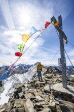
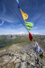
Böses Weibl summit with colourful prayer flags, vi...
BRK26A81_118
View from the high-altitude hiking trail from Bols...
BRK26A97_475
Mountain hut Elberfelderhütte in front of a rocky ...
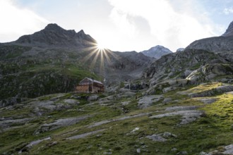
BRK26A97_474
Mountain hut Elberfelderhütte in front of a rocky ...
BRK26A91_122
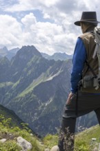
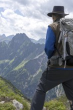
Man, 60-70 (model release available) on the Laufba...
BRK26A99_266
Sunrise from the Zeigersattel on the Nebelhorn, 22...
BRK26A80_029
Panorama from the Fellhorn mountain trail, 2037 m,...
BRK26B00_482
Mountain panorama from Laufbacher-Eckweg to Großer...
BRK26A80_025
Mountain panorama over Laufbichlsee, behind it the...
BRK26A45_477
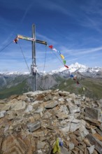
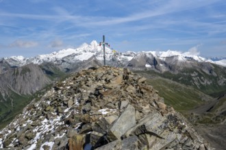
Mountaineers at the summit of Böses Weibl with sum...
BRK26A46_012
Mountaineer on a hiking trail at the Elberfelderhü...
BRK26A47_257
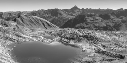
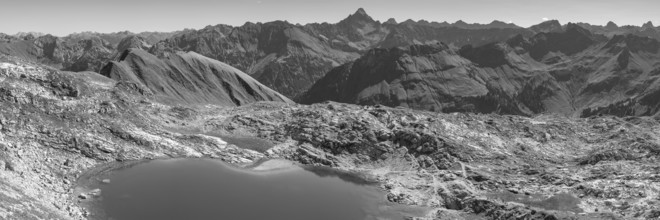
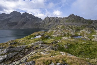
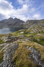
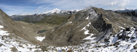
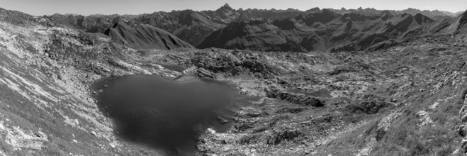
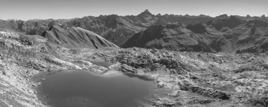
Mountain landscape with mountain lake Wangenitzsee...
BRK26A17_484
High-altitude hiking trail from Bolsterlanger Horn...
BRK26A17_486
Female hiker on high-altitude hiking trail from Bo...
BRK26A45_473
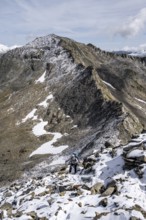
Mountaineer in blocky terrain with fresh snow in s...
BRK26A45_478
Mountain stream Gößnitzbach, Upper Gößnitz Valley,...
BRK26A46_015
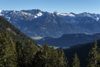
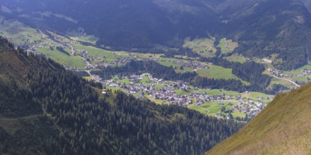
View of mountain landscape in the upper Gössnitz v...
BRK26A47_251
Mountain landscape with Kreuzsee mountain lake, Vi...
BRK26A17_485
View from the high-altitude hiking trail from Bols...
BRK26A45_447
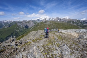
Mountaineer on hiking trail above the Peischachtör...
BRK26A45_471
Böses Weibl summit with colourful prayer flags, vi...
BRK26A47_255
Mountain landscape with mountain lake Wangenitzsee...
BRK26A45_446
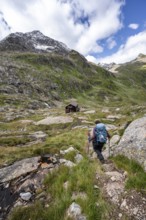
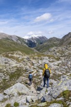
Two mountaineers on a hiking trail, Wiener Höhenwe...
BRK26A45_472
Böses Weibl summit with summit cross and colourful...
BRK26A46_013
Elberfelderhütte mountain hut in the upper Gössnit...
BRK26A45_475
Mountaineer climbing in high mountain landscape at...
BRK26A45_474
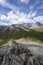
View above the Kesselkeessattel, mountain landscap...
BRK26A45_476
Mountaineers on a hiking trail, view of picturesqu...
BRK26A46_014
Small mountain lake, Roter Knopf mountain peak, Vi...
BRK26A17_483
View from the high-altitude hiking trail from Bols...
BRK26A45_445
Mountaineer on hiking trail above the Peischachtör...
BRK26A45_479
View during the ascent to the Bösen Weibl, mountai...
BRK26A46_009
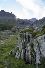
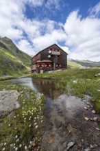
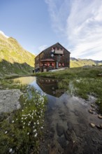
Elberfelderhütte mountain hut with small lake and ...
BRK26A45_443
Summit of Kastenegg, view of picturesque mountain ...
BRK26A45_470
Böses Weibl summit with summit cross and colourful...
BRK26A45_495
Mountain hut Elberfelderhütte with small lake and ...
BRK26A46_011
Elberfelderhütte mountain hut in the upper Gössnit...
BRK26A45_493
Mountain hut Elberfelderhütte in front of a rocky ...
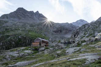
BRK26A45_492
Mountain hut Elberfelderhütte in front of a rocky ...
BRK26A45_494
Mountaineer in front of mountain hut Elberfelderhü...
BRK26A02_010
Panorama from the Fellhorn mountain trail, 2037 m,...
BRK26A15_125
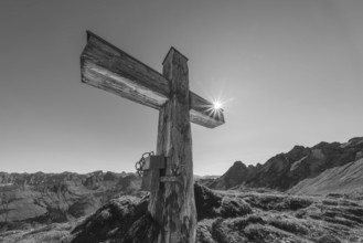
Bergkreuz am Koblat-Höhenweg, bei Laufbichelsee, A...
BRK26A37_460
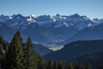
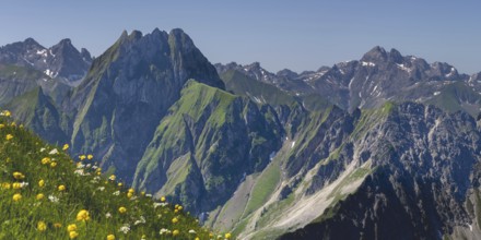
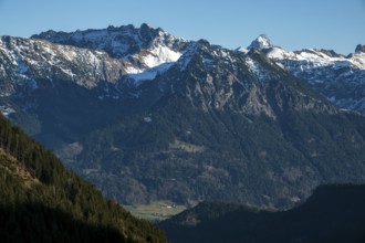
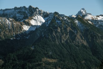
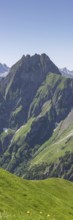
Mountain panorama from Laufbacher-Eckweg to Höfats...
BRK26A15_133
Panorama from the Fellhorn mountain trail, 2037 m,...
BRK26A15_123
Mountain panorama over Laufbichlsee, behind it the...
BRK26A24_180
Mountain panorama over Laufbichlsee, behind it the...
BRK26A19_363
Panorama from the Fellhorn mountain trail, 2037 m,...
BRK26A02_011
Mountain panorama over Laufbichlsee, behind it the...
BRK26A37_272
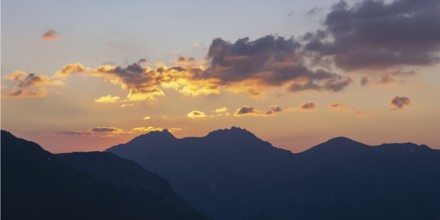
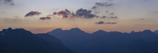
Panorama at sunset from Zeigersattel to Höfats 225...
BRK26A48_445
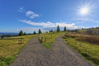
Kandel Höhenweg, fork in the road that splits, und...
BRK26A48_446
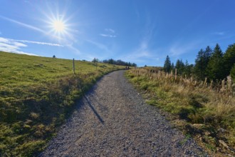
Kandel Höhenweg, leads through a peaceful landscap...
BRK26A23_012
Mountain panorama over Laufbichlsee, behind it the...
BRK26A33_010
Man, 60-70 (model release available) on the Laufba...
BRK26A48_463
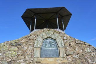
Kandel Höhenweg with viewing platform, Kandel, Wal...
BRK26A24_337
Mountain panorama over Laufbichlsee, behind it the...
BRK26A48_447
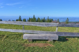
Wooden bench, on the Kandel Höhenweg, with a wide ...
BRK26A33_068
Sunrise from the Zeigersattel on the Nebelhorn, 22...
BRK26A33_054
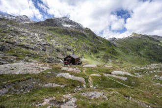
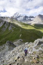
Mountaineer on hiking trail, Glorerhütte mountain ...
BRK26A23_498
Mountain panorama over Laufbichlsee, behind it the...
BRK26A48_018
Sunrise from the Zeigersattel on the Nebelhorn, 22...
BRK26A37_271
Sunrise from the Zeigersattel on the Nebelhorn, 22...
BRK25M89_219
Two female mountaineers in a cloudy mountain lands...
BRK25M89_088
Mountaineer in blocky terrain with fresh snow in s...
- Page
-
- sur
- 19