8084 résultats pour : high trail
- Page
-
- sur
- 81
Connectez-vous pour plus de résultats
BRK26C76_346
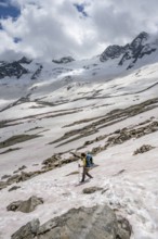
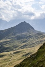
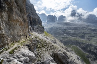
View from the high-altitude hiking trail from Bols...
BRK26C99_150
Hiking trail in the Umbaltal valley with Isel moun...
BRK26C57_331
Alpenglow at Seekopf or Monte Capolago, old war tu...
BRK26C60_495
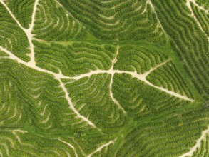
Cultivated orange trees (Citrus sinensis) and netw...
BRK26C56_356
Panorama at the summit of the Wilder Freiger with ...
BRK26C59_061
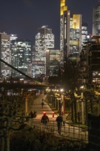
Skyline of the city centre of Frankfurt am Main, c...
BRK26C64_458
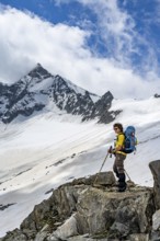
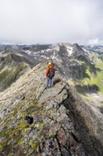
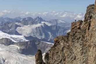
Mountaineer standing on a rock, surrounded by an i...
BRK26C57_450
Hiking trail on the Riffelalp with golden yellow l...
BRK26C73_143
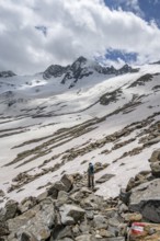
Mountaineer on a snowfield, descent from the summi...
BRK26C74_135
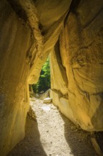
Incidental sun illuminates the passage (Chambre du...
BRK26C86_029
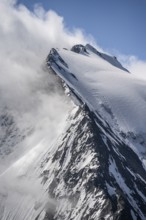
Rocky mountain ridge and glaciated mountain peak G...
BRK26C89_348
Mountaineer on a rocky ridge with snow, descent fr...
BRK26C66_414
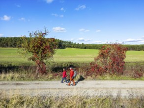
Aerial view, drone photo: A man and a woman walkin...
BRK26C73_184
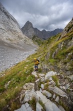
A mountaineer on a hiking trail with lush green ve...
BRK26C86_058
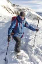
Mountaineer on a hiking trail between snow, descen...
BRK26D04_489
Mountaineer on a rock between snow, descent from t...
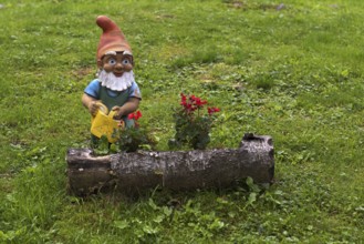
BRK26C56_053
Garden gnome with watering can, Streitweider Alm, ...
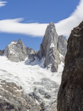
BRK26C58_029
Aguja Saint Exupery, Laguna de los Tres Trail, Mou...

BRK26C73_043
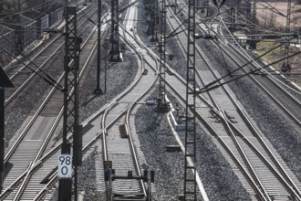
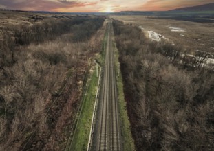
The Hanover–Würzburg high-speed railway, Nörten-Ha...
BRK26C90_420
Waterfall of the Kiel stream on the Kiel shore and...
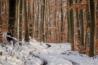
BRK26C59_120
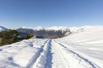
Tracks in a snowy forest path between slender, tal...
BRK26C98_074
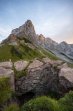
Mountain ridge of the Carnic Main Ridge, Carnic Hi...
BRK26C98_469
Hiker looking down into the valley from the Hochkö...
BRK26C67_177
Aerial view of the Captain James Cook Monument, Ca...
BRK26C70_241
The Hanover–Würzburg high-speed railway, Nörten-Ha...
BRK26C59_484
Beautiful landscape of the Mountain silhouettes of...
BRK26C65_407
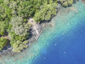
Aerial view, glacial stream flows around a large r...
BRK26C61_032
Beautiful landscape of the forest in the Sexten Do...
BRK26C74_027
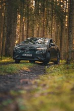
Car on a forest path with grass and light, flanked...
BRK26C58_379
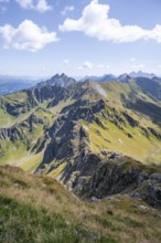
Hiking trail, Carnic Main Ridge, Carnic High Trail...
BRK26C64_141
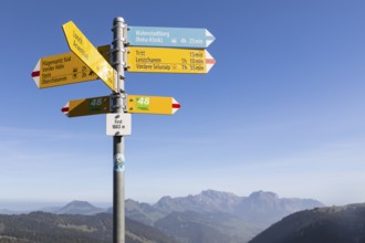
Signpost on the First (1663m) with hiking trails o...
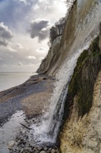
BRK26C68_418
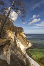
The famous chalk cliffs on the Baltic Sea coast in...
BRK26C94_485
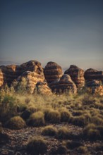
Bungle Bungle Range, Outback, hiking in Australia ...
BRK26C57_022
A forest path leads through tall european black pi...
BRK26C61_239
Aerial view, Alpine panorama, hikers at the summit...
BRK26C80_030
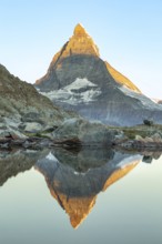
Stunning landscape of the Matterhorn reflected in ...
BRK26C87_484
A picturesque scene at Seealpsee in Switzerland fe...
BRK26D04_114
A pristine snowmobile trail cuts through a winter ...

BRK26C58_043
Alpenverinshütte Wolayerseehütte on Lake Wolayerse...
BRK26C72_374
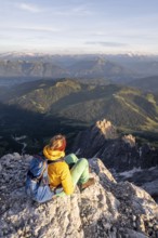
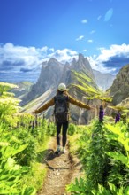
Hiker walking along a path with open arms, enjoyin...
BRK26C73_174
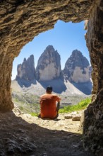
Hiker admiring the tre cime di lavaredo from insid...
BRK26C77_023
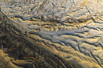
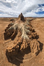
Stunning aerial capture of the unique geological f...
BRK26C85_055
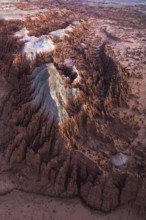
Colourful volcanic landscape with hills and snow, ...
BRK26C88_297
Breathtaking Mount Cook surrounded by golden field...
BRK26D04_320
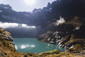
Tranquil lake Oachinensee in Switzerland reflects ...
BRK26C69_405
Cloudy mountain landscape with blooming alpine ros...
BRK26C71_385
Majestic mountain landscape at Oachinensee, Switze...
BRK26C73_461
A stunning aerial view of a rugged mountain landsc...
BRK26C77_231
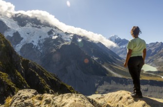
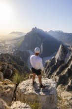
A lone hiker stands on a cliff, gazing at a stunni...
BRK26C85_020
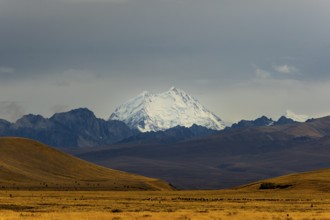
A meandering stream flows through a vast Andean va...
BRK26C90_040
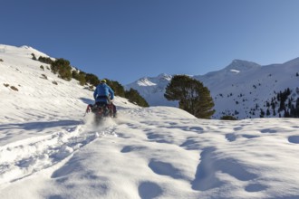
A man rides a snowmobile through a stunning winter...
BRK26D00_009
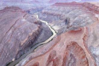
Captivating aerial photograph showcasing the sinuo...
BRK26D02_284
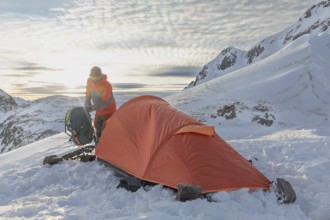
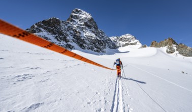
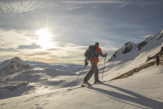
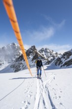
A ski tourer sets up near a bright orange tent ami...
BRK26D04_240
Serene landscape of the Matterhorn in the Swiss Al...
BRK26C56_259
Ski tourer with rope, rope team on the Vadret da P...
BRK26C72_208
A woman stands on rocky terrain, admiring a vibran...
BRK26C72_378
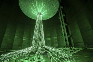
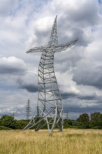
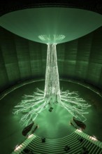
New exhibition at Gasometer Oberhausen, art sculpt...
BRK26C77_430
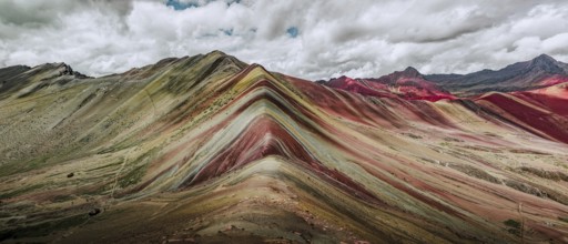
A stunning panoramic capture of Vinicunca, or Rain...
BRK26C83_339
Emscherkunst, artwork Zauberlehrling by the Berlin...
BRK26C84_258
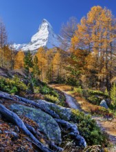
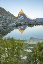
Majestic view of the Matterhorn in the Swiss Alps ...
BRK26C96_146
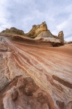
Aerial view showcasing the unique textures of a go...
BRK26D01_239
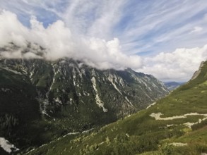
Wide mountain landscape with clouds floating gentl...
BRK26C75_268
From above, a drone captures the serene landscape ...
BRK26C76_447
Two backcountry skiers ski down a pristine snowy m...
BRK26C78_047
Pristine snow-covered mountain with fresh snowboar...
BRK26C86_053
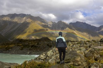
A woman enjoys the stunning autumn view of Mount C...
BRK26C94_363
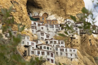
Phugtal Monastery, set against dramatic cliffs in ...
BRK26D00_394
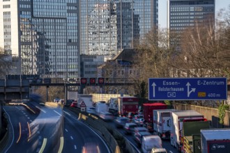
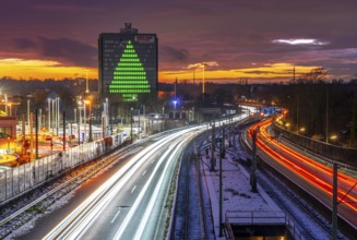
The A40 motorway, Ruhrschnellweg, in Essen, city s...
BRK26C57_270
Ski tourer with rope, rope team on the Vadret da P...
BRK26C70_200
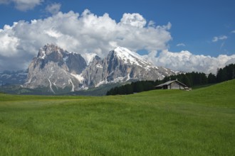
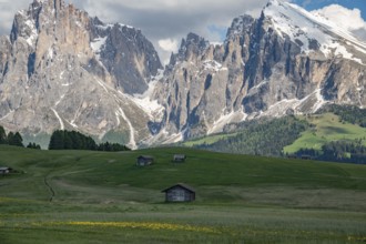
Stunning view of Alpe di Siusi in the Dolomites, I...
BRK26C71_337
Breathtaking beauty of autumn at Mount Cook, New Z...
BRK26C72_318
Adventurer in blue jacket and red backpack enjoys ...
BRK26C80_468
Striking landscape showcasing the vibrant, swirlin...
BRK26C85_246
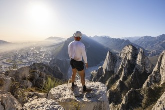
A man stands on a rocky peak at Eagle's Nest in Mo...
BRK26C95_485
Mountain landscape with mountain stream Zemmbach, ...
BRK26D00_036
Stunning autumn landscape of Mount Cook, New Zeala...
BRK26C56_130
Ski tourer with rope, rope team on the Vadret da P...
BRK26C75_420
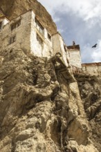
Phugtal Monastery, nestled in Ladakh's rugged clif...
BRK26C78_149
From above an unrecognizable person standing next ...
BRK26C85_003
Sunday hikers climbing the Gummihorn, a peak in th...
BRK26C95_178
Charming wooden huts scattered across lush green m...
BRK26D01_440
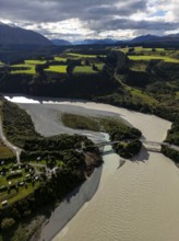
Aerial view captures the diverse landscape of Cant...
BRK26C68_373
Autobahn A40, Ruhrschnellweg, between Essen and Mü...
BRK26C68_408
New exhibition at Gasometer Oberhausen, art sculpt...
BRK26C71_283
A group of ski tourers makes their way up a snow-c...
BRK26C73_183
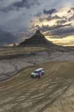
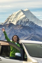
A woman stands joyfully in front of her car, surro...
BRK26C78_433
Mountaineer on a steep rocky ridge, on the summit ...
BRK26C81_300
A stunning turquoise crater lake at El Altar volca...
BRK26C83_078
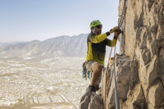
A man skillfully practices mountaineering and rapp...
BRK26C85_009
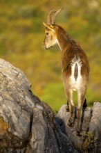
An Iberian ibex stands majestically on rocky terra...
BRK26C85_430
A man stands on a rocky peak at Eagle's Nest in Mo...

BRK26C86_275
Overhead view of vibrant green lanes vividly marki...
BRK26C87_201
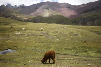
Alpaca and alpacas graze peacefully in the vibrant...

BRK26C89_237
Evening traffic, partly with traffic jams, slow-mo...
BRK26C98_412
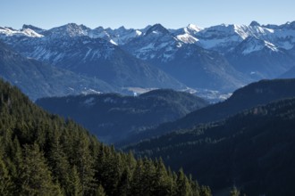
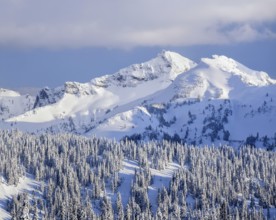
The Tatoosh Range in Mount Rainier National Park g...
BRK26D04_078
Majestic snow-capped Mount Cook surrounded by dram...
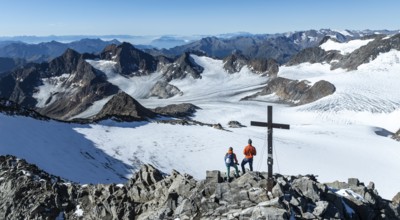
BRK26C71_219
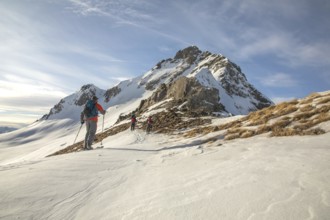
Two mountaineers on a hiking trail in front of a p...
BRK26C74_228
Captivating aerial view showcasing the intricate a...
BRK26C94_052
A hiker stands atop a rugged cliff in Zermatt, Swi...
BRK26D00_039
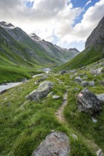
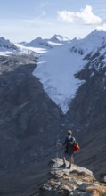
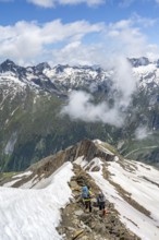
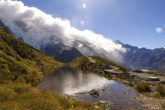
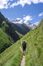
Mountaineers on a hiking trail in Umbaltal, glacia...
- Page
-
- sur
- 81