7150 résultats pour : high pasture
- Page
-
- sur
- 72
Connectez-vous pour plus de résultats
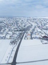
BRK26C64_251
Aerial view of a small snow-covered village surrou...
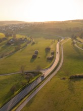
BRK26C79_179
Winding country road through green fields and tree...
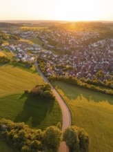
BRK26C86_075
View of a village and a road surrounded by fields ...
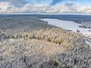
BRK26C66_380
Snowy forest and fields taken from the air, blue s...
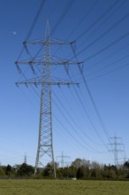
BRK26C67_107
Overhead lines Power lines High-voltage lines Over...
BRK26C69_434
Fields and Farms at evening sun from a drone, Shal...
BRK26C77_056
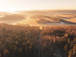
Aerial view of autumnal forests and hills with fie...
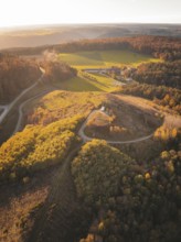
BRK26C93_487
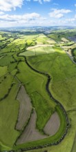
Aerial view of green fields and roads in hilly ter...
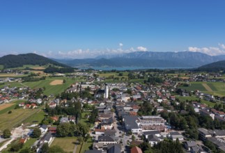
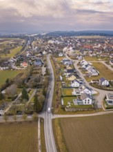
BRK26C59_210
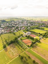
Aerial view of a town with neighbouring fields and...
BRK26C59_274
Aerial view of a road through a forest and past fi...
BRK26C94_454
Vertical panorama of Farms and Fields over Cononle...
BRK26C60_015
Aerial view of a village surrounded by autumnal fi...
BRK26C67_183
Drone shot, panorama shot, agricultural landscape,...
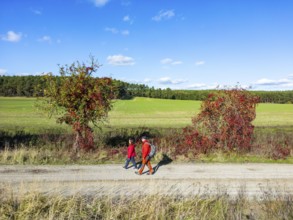
BRK26C66_414
Aerial view, drone photo: A man and a woman walkin...
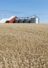
BRK26C83_366
Field of wheat at silos at Sjörup, Ystad municipal...
BRK26C85_044
Farms and Fields over East Harlsey from a drone, N...
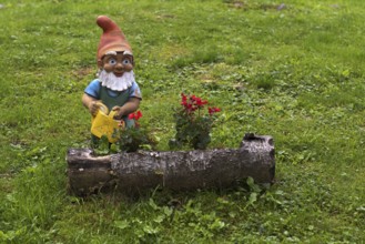
BRK26C56_053
Garden gnome with watering can, Streitweider Alm, ...
BRK26C85_390
Aerial view of hills and fields surrounded by autu...
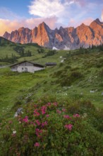
BRK26C57_179
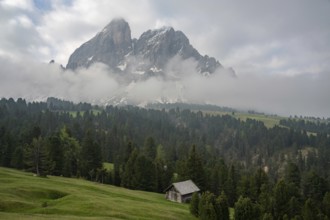
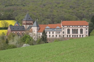
The Ladiz-Alm, the high alpine pasture of the Eng-...
BRK26C60_363
Aerial view of a row of trees with autumn leaves c...
BRK26C96_026
Jungfernsprung, 130 m, Austrian Alps, Austria
BRK26C59_484
Beautiful landscape of the Mountain silhouettes of...
BRK26C61_032
Beautiful landscape of the forest in the Sexten Do...
BRK26C59_498
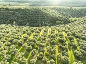
Fields of olive trees, trees planted in rows, aeri...
BRK26C64_500
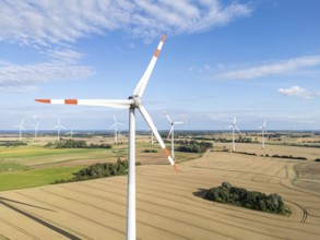
Wind turbine in a wind farm renewable energy wind ...
BRK26C62_459
Aerial view of agricultural fields and wooded hill...
BRK26C87_484
A picturesque scene at Seealpsee in Switzerland fe...
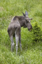
BRK26C90_409
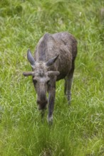
One adult male moose or elk, Alces alces, grazing ...
BRK26C96_344
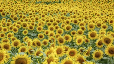
A vibrant field densely packed with blooming sunfl...
BRK26C56_376
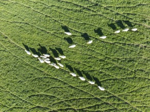
Sheep (Ovis aries). Aerial view. Drone shot. Cádiz...
BRK26C70_410
The tranquil beauty of the Italian countryside, wi...
BRK26C88_297
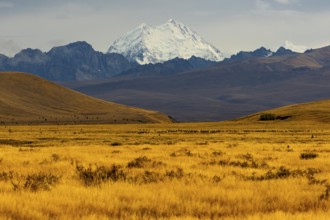
Breathtaking Mount Cook surrounded by golden field...
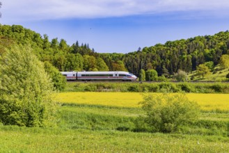
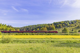
BRK26C56_039
InterCityExpress ICE travelling across the Swabian...
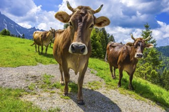
BRK26C77_113
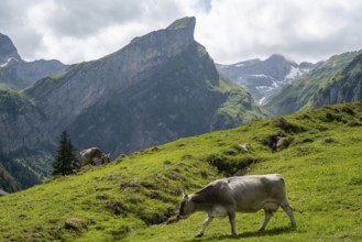
Braunvieh grazes on an alpine pasture in the Swiss...
BRK26C84_391
One adult male moose or elk, Alces alces, grazing ...
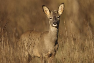
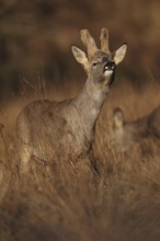
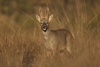
BRK26C79_048
A roe deer stands alert in a sunlit field, surroun...
BRK26C84_442
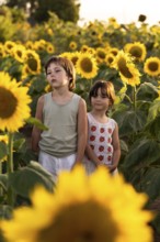
Two children stand among tall sunflowers in a fiel...
BRK26C94_446
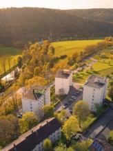
Residential buildings in an urban landscape next t...
BRK26C56_312
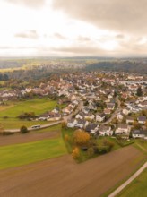
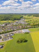
Aerial view of a village surrounded by fields and ...
BRK26C70_200
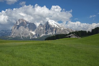
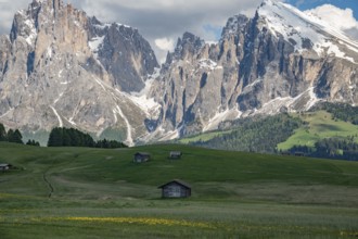
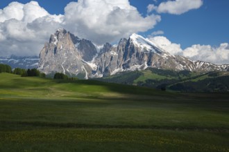
Stunning view of Alpe di Siusi in the Dolomites, I...
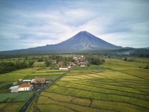
BRK26C97_087
A breathtaking aerial view of Mount Semeru, the hi...
BRK26C95_091
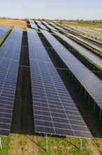
Close view of solar panels in orderly rows over gr...
BRK26C95_178
Charming wooden huts scattered across lush green m...
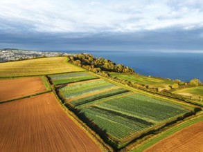
BRK26D01_440
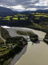
Aerial view captures the diverse landscape of Cant...
BRK26C86_062
A graceful roe deer stands alert in a sunlit field...
BRK26C87_201
Alpaca and alpacas graze peacefully in the vibrant...
BRK26C61_067
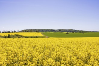
View of a blooming rapeseed field in a rural summe...
BRK26C70_118
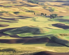
The Palouse region's rolling hills display a patch...
BRK26C70_349
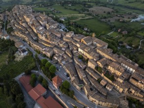
Aerial view of Treia, Italy, highlighting its rema...
BRK26C70_240
Alpe di Siusi in the Dolomites mountains of Italy ...
BRK26C71_054
A stunning autumn scene at Mount Cook, New Zealand...
BRK26D01_497
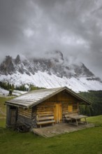
A small wooden hut stands in the green meadows of ...
BRK26C90_497
View of a part of the Geisler group from the Gampe...
BRK26D03_100
A serene roe deer stands amid tall grasses in a su...
BRK26C56_044
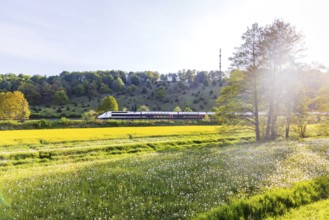
TGV travelling over the Swabian Alb. Idyllic lands...
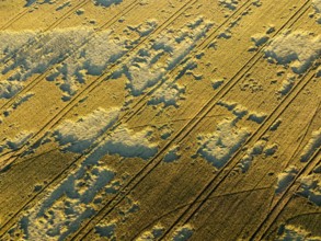
BRK26C68_422
Aerial photo contrasting vibrant green and gray la...
BRK26C97_191
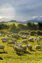
A picturesque autumn scene of sheep grazing in ver...
BRK26C61_286
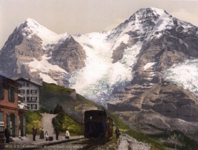
Wengern Alp Station, Eiger und Mönch, Bernese Ober...
BRK26C63_094
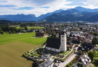
Drone image, view of village with parish church, O...
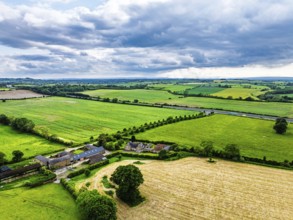
BRK26C69_110
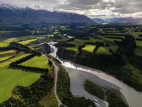
Aerial view of Canterbury region's lush green farm...
BRK26C57_020
ÖBB RailJet travelling across the Swabian Alb. Idy...
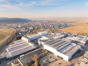
BRK26C62_452
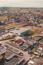
Aerial view of factory buildings on the outskirts ...
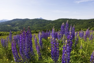
BRK26C66_240
Lupines, Lupinus, Large-leaved lupin, Lupine meado...
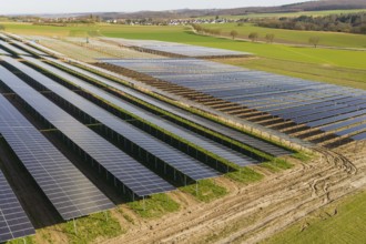
BRK26C86_229
Extensive solar fields in a rural area, villages o...
BRK26C90_291
Aerial view of a rural suburb with streets and hou...
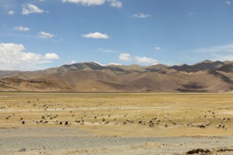
BRK26C92_331
A serene landscape in Ladakh, India, showing a fie...
BRK26C77_346
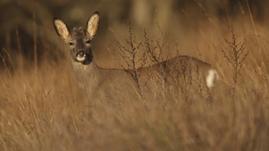
A roe deer stands gracefully in a sunlit field, su...
BRK26C77_388
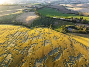
Close-up aerial of cultivated fields in Macerata, ...
BRK26C94_474
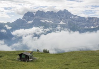
A serene view of a small cabin in a lush green mea...
BRK26C85_192
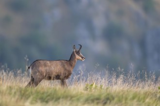
Chamois (Rupicapra rupicapra) on a meadow in the V...
BRK26D04_135
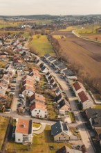
View of a rural residential development with singl...
BRK26C62_325
Tree in flowering rape field near Grötzingen, Aich...
BRK26C81_061
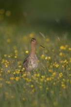
Black-tailed Godwit (Limosa limosa) on grassland w...
BRK26C93_270
Nice view of a village with trees and fields, the ...
BRK26C96_157
Aerial view of a residential development in a rura...
BRK26C62_298
View of mission house church built in 1905, landsc...
BRK26D02_156
The Ladiz-Alm, the high alpine pasture of the Eng-...
BRK26C62_170
Rape fields bloom in spring in front of the Frankf...
BRK26C84_180
A man on a mountain bike in an alpine landscape
BRK26C83_152
Grimma, 18.07.13 Harvesters harvesting in a field ...
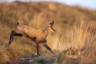
BRK26C86_024
Chamois (Rupicapra rupicapra) on a meadow in the V...
BRK26C31_116
Rustic wooden cabin in a green meadow against an a...
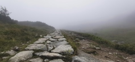
BRK26C30_431
Rocky trail through foggy mountain meadow, Zakopan...
BRK26C19_296
Traditional humble houses lining a narrow water ca...
BRK26C19_183
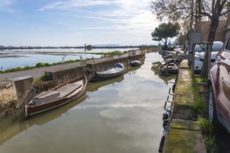
Traditional boats moored along a narrow canal in e...
BRK26C23_267
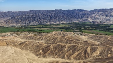
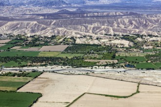
Contrasting landscape with desert in the foregroun...
BRK26C37_236
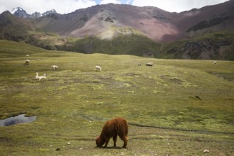
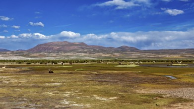
Green plain with grazing llamas under a bright blu...
BRK26C37_240
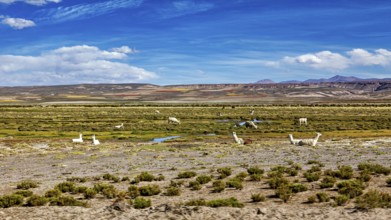
Wide pasture area with llamas in the foreground an...
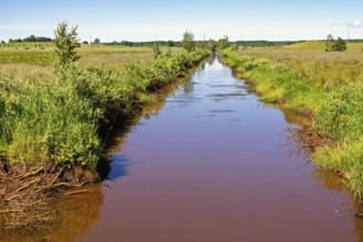
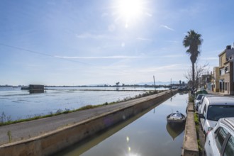
BRK26C05_224
Straight narrow water channel running through a gr...
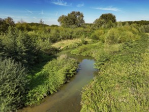
BRK26C27_231
Datteln, North Rhine-Westphalia, Germany - Renatur...
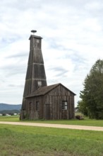
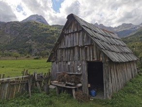
BRK26C29_314
A tall wooden farm building or barn with a storks ...
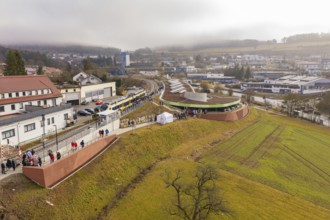
BRK26C33_500
Station from above with surrounding urban landscap...
BRK26C23_243
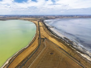
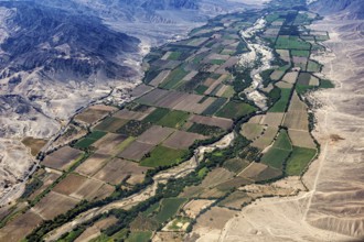
Green agricultural land and a river in the midst o...
BRK26C23_250
Extensive green areas and riverbed with mountain r...
BRK26C07_485
Residential area in a city surrounded by fields an...
BRK26C23_094
In an aerial view, people walk on a road cutting t...
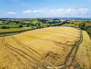
BRK26C48_153
Fields and Farms at evening sun from a drone, Shal...
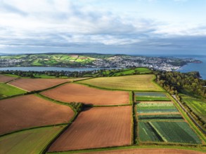
BRK26C49_235
DefaultFarms and Fields over Torquay from a drone,...
BRK26C19_192
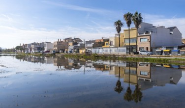
El palmar fishing village and palm trees mirrored ...
BRK26C23_092
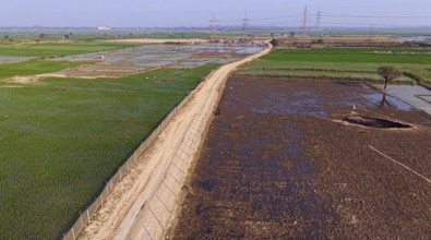
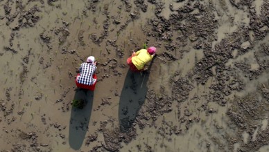
In an aerial view, farmers transplant rice paddy s...
- Page
-
- sur
- 72