1933 résultats pour : floodplain meadow
- Page
-
- sur
- 20
Connectez-vous pour plus de résultats
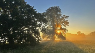
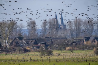
BRK26C62_115
Sunrise, floodplain meadows, floodplain landscape ...
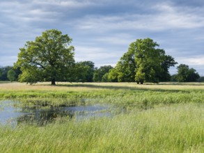
BRK26C65_011
Wet meadow with solitary oaks in the Elbe floodpla...
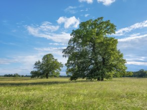
BRK26C60_224
Meadow with solitary oaks in the Elbe floodplains ...
BRK26C93_387
Black alder (Alnus glutinosa) in a misty floodplai...
BRK26C99_009
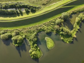
Bislicher Insel, nature reserve on the Rhine, Altr...
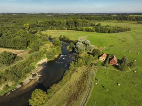
BRK26C77_040
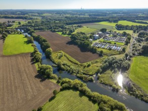
Datteln, North Rhine-Westphalia, Germany - Lippe, ...
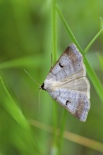
BRK26C71_487
Kidney Spotted Vetch, (Lygephila pastinum), owl mo...
BRK26C81_394
Wesel, Lower Rhine, North Rhine-Westphalia, German...
BRK26C73_331
Haltern-Marl, North Rhine-Westphalia, Germany - Li...
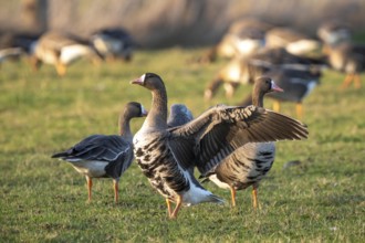
BRK26C62_131
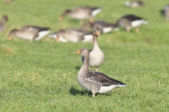
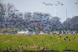
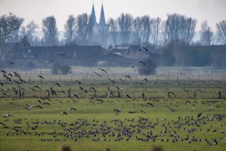
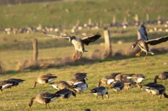
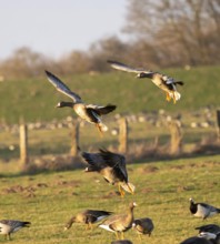
Greylag goose (Anser anser) several geese grazing ...
BRK26C65_108
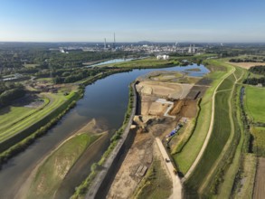
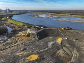
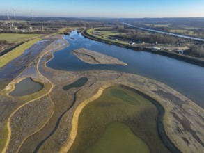
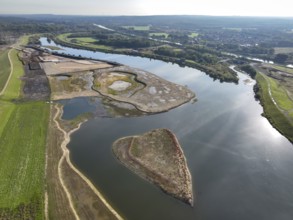
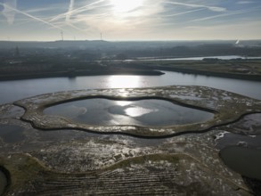
Bottrop, North Rhine-Westphalia, Germany, Renatura...
BRK26C98_488
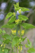
European Birthwort, (Aristolochia clematitis), pla...
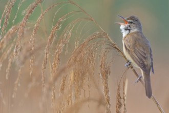
BRK26C72_308
Reed warbler, (Acrocephalus arundinaceus), reedbed...
BRK26C77_167
Haltern, North Rhine-Westphalia, Germany, flood pr...
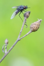
BRK26C89_335
Black woolly hoverfly, bumblebee hoverfly, mournin...
BRK26C69_104
Haltern-Marl, North Rhine-Westphalia, Germany - Li...
BRK26C81_098
Haltern-Marl, North Rhine-Westphalia, Germany - Li...
BRK26C90_329
Haltern-Marl, North Rhine-Westphalia, Germany - Li...
BRK26C69_134
Haltern-Marl, North Rhine-Westphalia, Germany - Li...
BRK26C96_299
Datteln, North Rhine-Westphalia, Germany - Lippe l...
BRK26C67_216
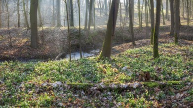
Early spring in the floodplain forest, spring snow...
BRK26C10_207
Bislicher Insel, nature reserve on the Rhine, Altr...
BRK26C36_481
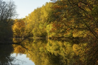
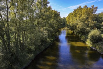
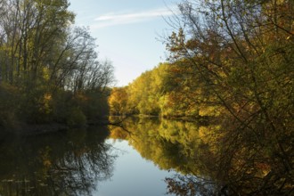
Autumn mood, riparian forest, water, Lower Austria
BRK26C07_327
Bislicher Insel, nature reserve on the Rhine, Altr...
BRK26C10_205
Bislicher Insel, nature reserve on the Rhine, Altr...
BRK26C25_345
Bislicher Insel, nature reserve on the Rhine, Altr...
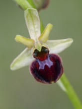
BRK26C43_321
Spider orchid (Ophrys sphecodes), single flower, c...
BRK26C25_342
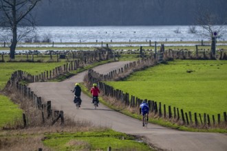
The Bislicher Insel, nature reserve on the Rhine, ...
BRK26C28_289
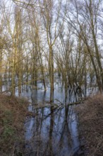
Black alder (Alnus glutinosa) in a misty floodplai...
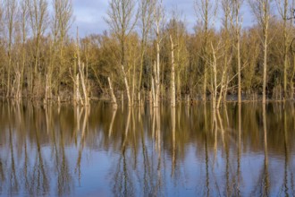
BRK26C08_396
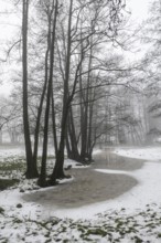
Bislicher Insel, in winter, floods in the floodpla...
BRK26C10_208
Bislicher Insel, nature reserve on the Rhine, Altr...
BRK26C10_209
Bislicher Insel, nature reserve on the Rhine, Altr...
BRK26C25_346
Bislicher Insel, nature reserve on the Rhine, Altr...
BRK26C28_290
Black alder (Alnus glutinosa) in a misty floodplai...
BRK26C28_064
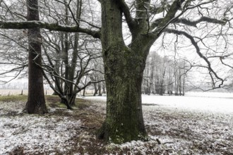
English oak (Quercus robur) and black alder (Alnus...
BRK26C08_397
Bislicher Insel, in winter, floods in the floodpla...
BRK26C10_206
Bislicher Insel, nature reserve on the Rhine, Altr...
BRK26C10_210
Bislicher Insel, nature reserve on the Rhine, Altr...
BRK26C10_211
Bislicher Insel, nature reserve on the Rhine, Altr...
BRK26C25_350
The Bislicher Insel, nature reserve on the Rhine, ...
BRK26C25_343
The Bislicher Insel, nature reserve on the Rhine, ...
BRK26C08_405
The Bislicher Insel, in winter, dyke path, nature ...
BRK26C08_398
Bislicher Insel, in winter, floods in the floodpla...
BRK26C25_341
Bislicher Insel, nature reserve on the Rhine, Altr...
BRK26C25_347
Bislicher Insel, nature reserve on the Rhine, Altr...
BRK26C28_063
Black alder (Alnus glutinosa) in a snowy floodplai...
BRK26C48_038
Wesel, Lower Rhine, North Rhine-Westphalia, German...
BRK26C49_299
Bottrop, North Rhine-Westphalia, Germany - Renatur...
BRK26C41_112
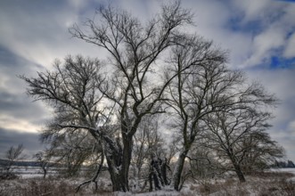
Wintery floodplain landscape along the Schmutter i...
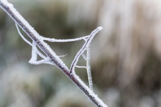
BRK26C19_013
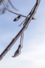
Branch and last leaf covered with hoarfrost
BRK26C04_441
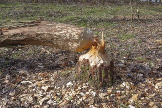
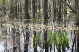
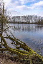
Flooded forest Alder quarry Floodplain forest Alde...
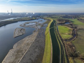
BRK26C27_232
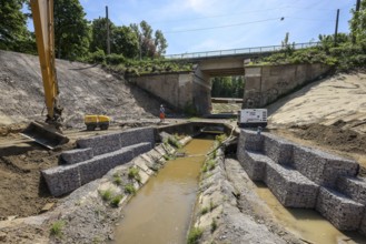
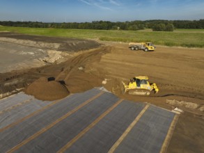
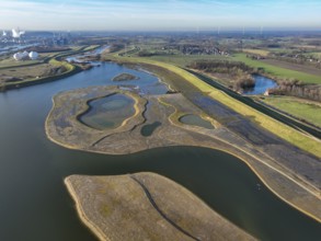
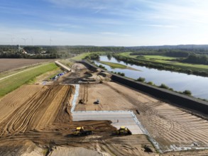
Datteln, North Rhine-Westphalia, Germany - Restore...
BRK26C49_298
Bottrop, North Rhine-Westphalia, Germany - Renatur...
BRK26C27_231
Datteln, North Rhine-Westphalia, Germany - Renatur...
BRK26C48_037
Wesel, Lower Rhine, North Rhine-Westphalia, German...
BRK26C27_227
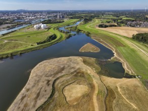
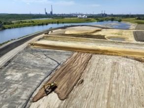
Datteln, North Rhine-Westphalia, Germany - Lippe l...
BRK26C27_228
Olfen, North Rhine-Westphalia, Germany - Lippe, in...
BRK26C27_230
Datteln, North Rhine-Westphalia, Germany - Lippe, ...
BRK26C30_106
Haltern-Marl, North Rhine-Westphalia, Germany - Li...
BRK26C30_114
Haltern-Marl, North Rhine-Westphalia, Germany - Li...
BRK26C19_007
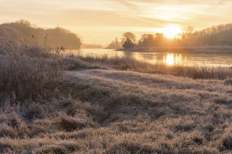
Wintery morning mood, Elbe meadows with hoarfrost,...
BRK26C30_109
Haltern-Marl, North Rhine-Westphalia, Germany - Li...
BRK26C30_115
Haltern-Marl, North Rhine-Westphalia, Germany - Li...
BRK26C18_472
Wintery morning mood, Elbe meadows with hoarfrost,...
BRK26C30_110
Haltern-Marl, North Rhine-Westphalia, Germany - Li...
BRK26C30_118
Haltern-Marl, North Rhine-Westphalia, Germany - Li...
BRK26C30_117
Haltern-Marl, North Rhine-Westphalia, Germany - Li...

BRK26C30_107
Haltern-Marl, North Rhine-Westphalia, Germany - Li...
BRK26C52_365
Haltern-Marl, North Rhine-Westphalia, Germany - Li...
BRK26C30_108
Haltern-Marl, North Rhine-Westphalia, Germany - Li...
BRK26C30_116
Haltern-Marl, North Rhine-Westphalia, Germany - Li...
BRK26C27_229
Datteln, North Rhine-Westphalia, Germany - Lippe, ...
BRK26C27_225
Datteln, North Rhine-Westphalia, Germany - Lippe, ...
BRK26C30_111
Haltern-Marl, North Rhine-Westphalia, Germany - Li...
BRK26C49_449
Dortmund, Castrop-Rauxel, North Rhine-Westphalia, ...
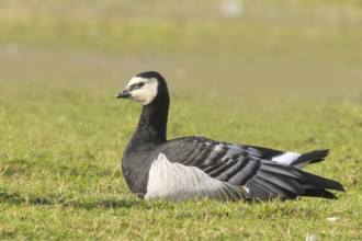
BRK26C07_328
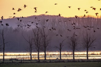
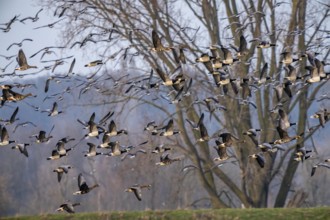
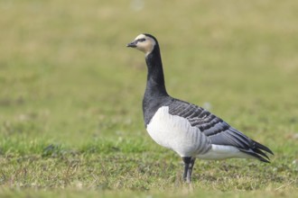
White-fronted goose or barnacle goose (Branta leuc...
BRK26C07_335
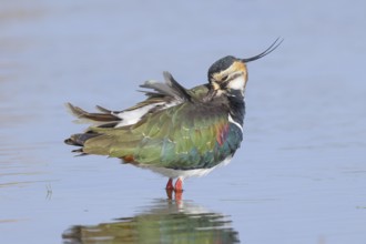
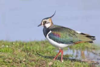
Lapwing (Vanellus vanellus), in splendid plumage, ...
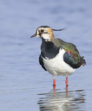
BRK26C07_332
Lapwing (Vanellus vanellus), in splendid plumage, ...
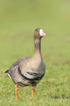
BRK26C07_333
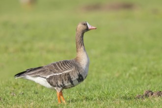
White-fronted goose (Anser albifrons), standing in...
BRK26C07_336
Lapwing (Vanellus vanellus), in splendid plumage, ...
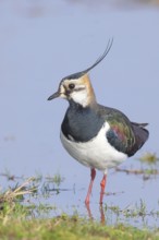
BRK26C07_334
Lapwing (Vanellus vanellus), splendid plumage, dri...
BRK26C07_338
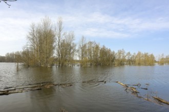
Bislicher Insel, in winter, floods in the floodpla...
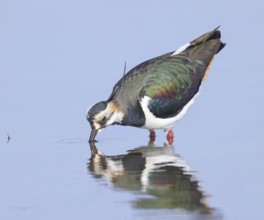
BRK26C07_339
Lapwing (Vanellus vanellus), in splendid plumage, ...
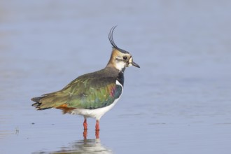
BRK26C07_331
Lapwing (Vanellus vanellus), in splendid plumage, ...
BRK26C07_337
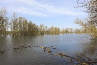
Bislicher Insel, in winter, floods in the floodpla...
BRK26C07_330
White-fronted goose or barnacle goose (Branta leuc...
BRK26C07_329
White-fronted goose (Anser albifrons), standing in...
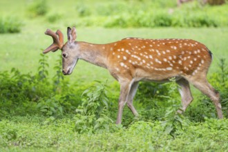
BRK26C27_164
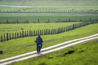
Sika deer (Cervus nippon) male walking on a meadow...
BRK26C19_012
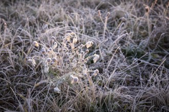
Branch and cobweb covered with hoarfrost
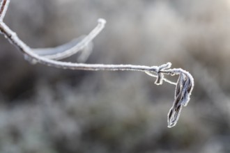
BRK26C19_008
Branch and last leaf covered with hoarfrost

BRK26C04_438
Green leaves of the water iris (Iris pseudocorus) ...
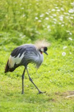
BRK26C27_151
Black crowned crane (Balearica pavonina) walking o...

BRK26C04_442
Flooded forest Alder quarry Floodplain forest Alde...
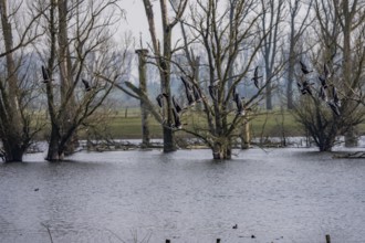
BRK26B57_052
The Bislicher Insel, nature reserve on the Rhine, ...
BRK26B80_461
Autumn mood, riparian forest, water, Lower Austria
BRK26B57_050
Bislicher Insel, nature reserve on the Rhine, Altr...
BRK26B57_051
The Bislicher Insel, nature reserve on the Rhine, ...
BRK26B60_417
Olfen, North Rhine-Westphalia, Germany - Lippe, fo...
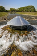
BRK26B60_418
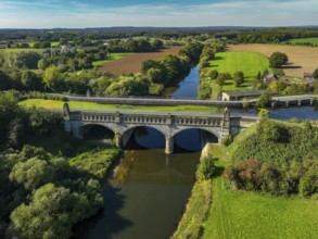
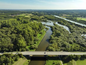
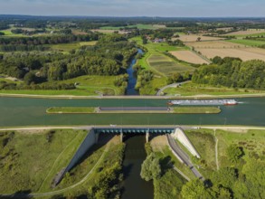
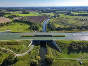
Kanalbrücke Lippe Neue Fahrt, Dortmund-Ems Canal, ...
BRK26C02_048
Wesel, Lower Rhine, North Rhine-Westphalia, German...
- Page
-
- sur
- 20