147 résultats pour : ennepetal
- Page
-
- sur
- 2
Connectez-vous pour plus de résultats
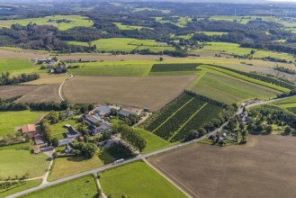
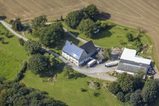
BRK25J39_039
Aerial view, meadows and fields with farm Bransel ...
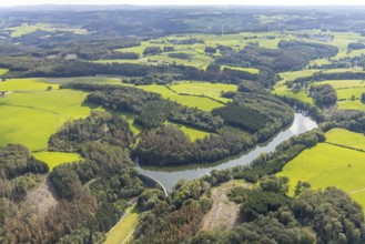
BRK25J39_063
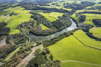
Aerial view, Heilenbecker Talsperre in the distric...
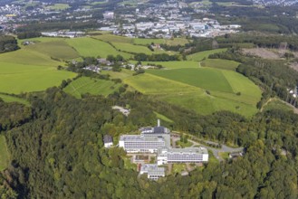
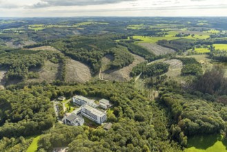
BRK25J39_077
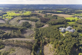
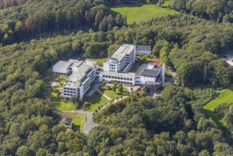
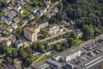
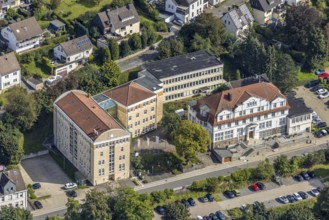
Aerial view, Königsfeld Rehabilitation Clinic and ...
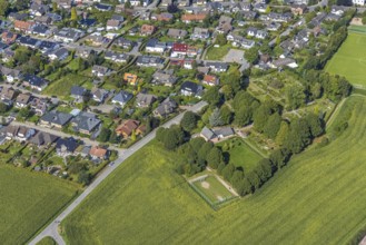
BRK25J39_092
Aerial view, cemetery in the district of Rüggeberg...
BRK25J39_100
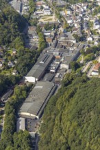
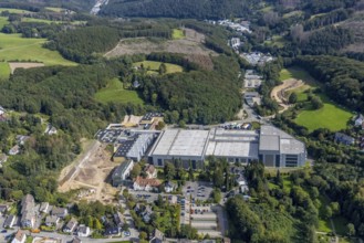
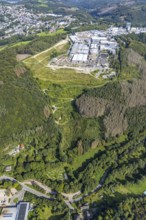
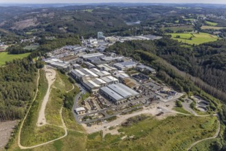
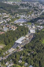
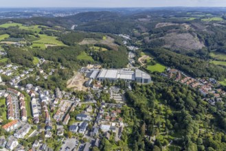
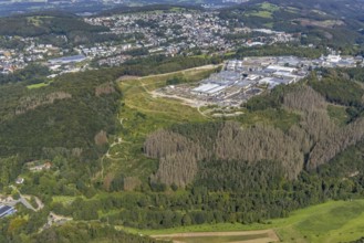
Aerial view, Bharat Forge CDP GmbH factory premise...
BRK25J39_122
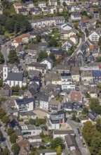
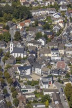
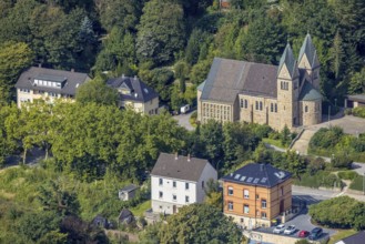
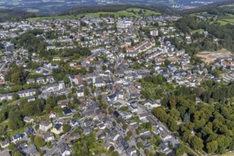
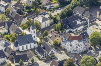
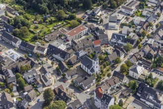
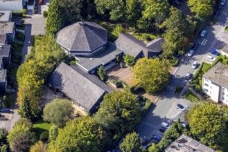
Aerial view, town centre with the protestant Johan...
BRK25J39_140
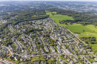
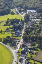
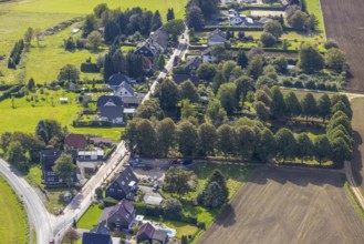
Aerial view, local view in the district Voerde in ...
BRK25J39_146
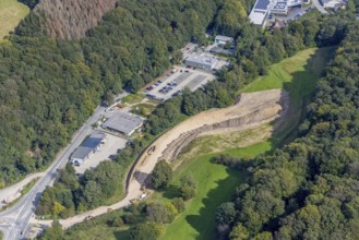
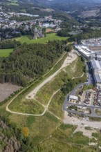
Aerial view, construction site with construction r...
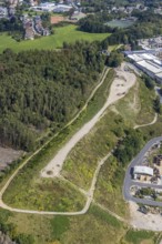
BRK25J28_167
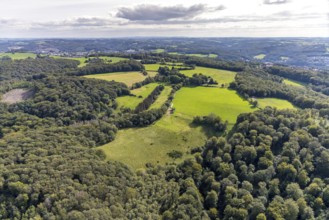
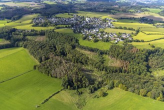
Aerial view, forest area with meadows Meininghause...
BRK25J39_013
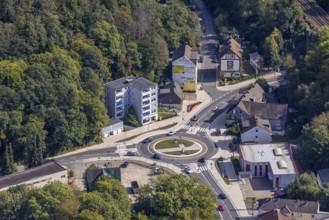
Aerial view, redesigned roundabout Kölner Straße a...
BRK25J39_020
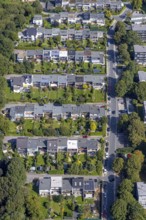
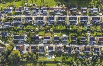
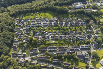
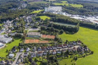
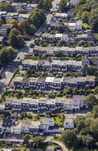
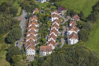
Aerial view, terraced house housing estate Wupperm...
BRK25J39_033
Aerial photo, Königsfeld Rehabilitation Clinic and...
BRK25J39_055
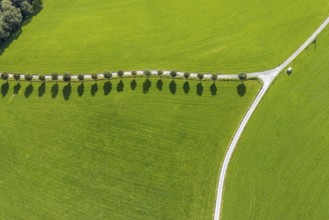
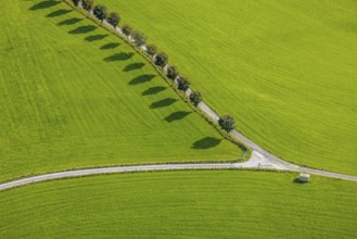
Aerial view, tree avenue Mittelhesterberg in the d...
BRK25J39_062
Aerial view, Heilenbecker Talsperre in the distric...
BRK25J39_091
Aerial view, residential building on Severinghause...
BRK25J39_101
Aerial view, Bharat Forge CDP GmbH factory premise...
BRK25J39_120
Aerial view, town centre with the protestant Johan...
BRK25J39_138
Aerial view, Aldi supermarket in the district Voer...
BRK25J39_150
Aerial view, construction site with construction r...
BRK25J39_037
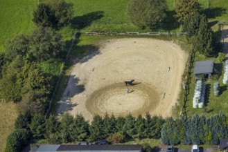
Aerial view, horse training at the Wolfshövel ridi...
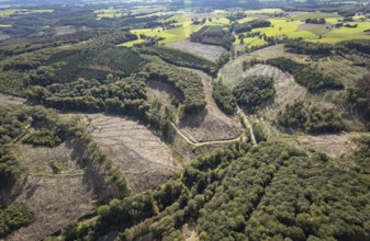
BRK25J39_054
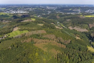
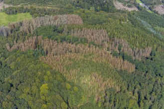
Aerial view, forest damage in the Rüggeberg distri...
BRK25J39_064
Aerial view, Heilenbecker Talsperre in the distric...
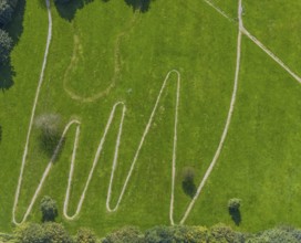
BRK25J39_067
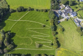
Aerial view, serpentine path at the Königsfeld cli...
BRK25J39_090
Aerial view, protestant church in the district of ...
BRK25J39_102
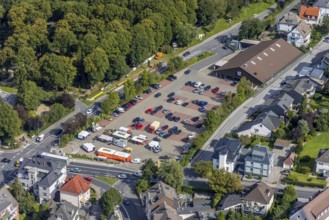
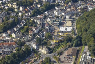
Aerial view, commercial area Jacobstraße with Sieg...
BRK25J39_118
Aerial view, town centre with the protestant Johan...
BRK25J39_152
Aerial view, construction site at the Ferdinand Bi...
BRK25J39_153
Aerial view, local view in the district Voerde in ...
BRK25J39_038
Aerial view, riding training at the Wolfshövel rid...
BRK25J39_057
Aerial view, tree avenue Mittelhesterberg in the d...
BRK25J39_061
Aerial view, Heilenbecker Talsperre in the distric...
BRK25J39_068
Aerial view, Königsfeld Rehabilitation Clinic and ...
BRK25J39_088
Aerial view, half-timbered house with solar roof i...
BRK25J39_103
Aerial view, commercial area Jacobstraße with Sieg...
BRK25J39_116
Aerial view, catholic church St. Johann Baptist in...
BRK25J39_137
Aerial view, local view in the district Voerde in ...
BRK25J39_147
Aerial view, forest damage at the Talsperrenweg in...
BRK25J39_058
Aerial view, tree avenue Mittelhesterberg in the d...
BRK25J39_066
Aerial view, serpentine path at the Königsfeld Cli...
BRK25J39_070
Aerial photo, forest damage in the Windgarten dist...
BRK25J39_079
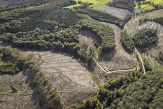
Aerial photograph, forest damage and forest diebac...
BRK25J39_083
Aerial view, commercial area Jacobstraße with Sieg...
BRK25J39_111
Aerial view, commercial area Jacobstraße with Sieg...
BRK25J39_113
Aerial view, town hall Ennepetal in the district A...
BRK25J39_131
Aerial view, cemetery in the forest in the distric...
BRK25J39_141
Aerial view, commercial area bilstein group Engine...
BRK25J39_148
Aerial view, town centre with the protestant Johan...
BRK25J39_031
Aerial view, Spreeler Weg and cemetery in the Köni...
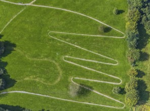
BRK25J39_072
Aerial view, serpentine path at the Königsfeld Cli...
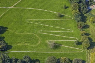
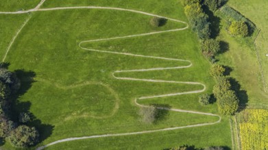
BRK25J39_075
Aerial view, serpentine path at the Königsfeld Cli...
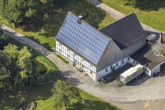
BRK25J39_082
Aerial view, half-timbered house with solar roof i...
BRK25J39_097
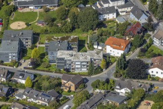
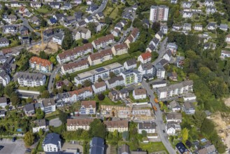
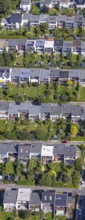
Aerial view, residential area Wilhelmshöhe Leibniz...
BRK25J39_110
Aerial view, commercial area Jacobstraße with Sieg...
BRK25J39_112
Aerial view, industrial area Loher Straße and buil...
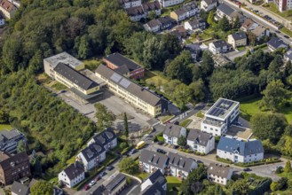
BRK25J39_115
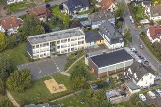
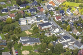
Aerial view, secondary school Ennepetal and new bu...
BRK25J39_133
Aerial view, town centre with the protestant Johan...
BRK25J39_149
Aerial view, construction site at the Ferdinand Bi...
BRK25J39_025
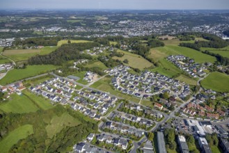
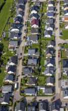
Aerial view, housing estate Dr.-Fritz-Textor-Ring ...
BRK25J39_034
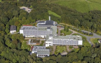
Aerial view, Königsfeld Rehabilitation Clinic in t...
BRK25J39_049
Aerial photograph, forest damage and forest diebac...
BRK25J39_050
Aerial view, forest damage in the Rüggeberg distri...
BRK25J39_065
Aerial view, primary school Rüggeberg in the distr...
BRK25J39_076
Aerial view, Königsfeld Rehabilitation Clinic in t...
BRK25J39_078
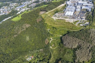
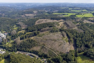
Aerial view, forest damage in the district Königsf...
BRK25J39_089
Aerial view, commercial area Jacobstraße with Sieg...
BRK25J39_098
Aerial view, residential area Wilhelmshöhe Leibniz...
BRK25J39_123
Aerial view, commercial area Jacobstraße with Sieg...
BRK25J39_134
Aerial view, town centre with the protestant Johan...
BRK25J39_139
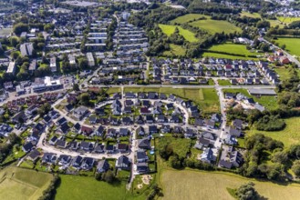
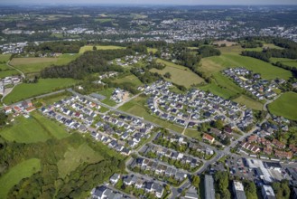
Aerial view, residential area Neuenloher Weg with ...
BRK25J39_142
Aerial view, local view in the district Voerde in ...
BRK25J39_032
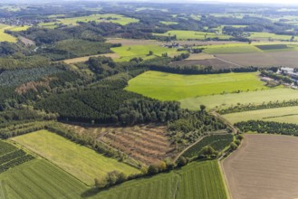
Aerial photo, forest damage in the Windgarten dist...
BRK25J39_040
Aerial photo, Königsfeld Rehabilitation Clinic and...
BRK25J39_048
Aerial photograph, forest damage and forest diebac...
BRK25J39_056
Aerial view, Primary School Rüggeberg and Protesta...
BRK25J39_084
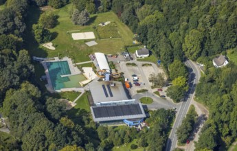
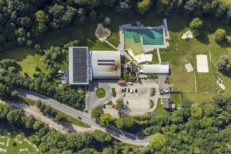
Aerial view, Platsch leisure pool in the Altenvoer...
BRK25J39_099
Aerial view, city centre with Haus Ennepetal in th...
BRK25J39_114
Aerial view, Kindergarten Lohernocken and Loher-No...
BRK25J39_121
Aerial view, sports field FC Blau-Weiß Voerde and ...
BRK25J39_143
Aerial view, town centre with the protestant Johan...
BRK25J39_151
Aerial view, new building Haus an der Kirche Bethe...
BRK25J39_006
Aerial view, Catholic parish of St. Martin pastora...
BRK25J39_018
Aerial view, housing estate Dr.-Fritz-Textor-Ring ...
BRK25J39_081
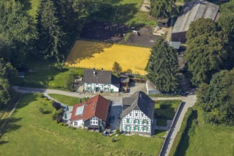
Aerial view, Restaurant Hülsenbecke half-timbered ...
BRK25J39_094
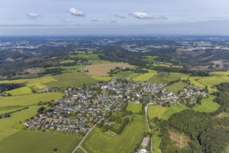
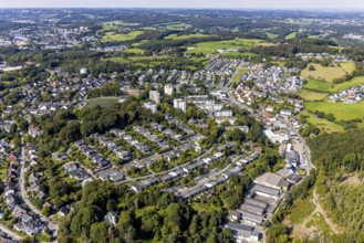
Aerial view, aerial view district Rüggeberg in Enn...
BRK25J39_107
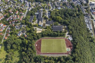
Aerial view, Dorma Sportpark and Reichenbach-Gymna...
BRK25J39_024
Aerial view, terraced house housing estate Wupperm...
BRK25J39_026
Aerial view, terraced house housing estate Wupperm...
BRK25J39_104
Aerial view, Platsch leisure pool in the Altenvoer...
BRK25J39_106
Aerial view, terraced house housing estate Kämpers...
BRK25J39_008
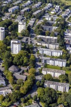
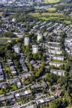
Aerial view, high-rise housing estate Büttenberger...
BRK25J39_017
Aerial view, terraced house housing estate Dr.-Fri...
BRK25J39_071
Aerial view, Spreeler Weg and cemetery in the Köni...
BRK25J39_073
Aerial view, serpentine path at the Königsfeld Cli...
BRK25J39_109
Aerial view, town hall Ennepetal in the district A...
BRK25J39_007
Aerial view, high-rise housing estate Büttenberger...
BRK25J39_019
Aerial view, housing estate Dr.-Fritz-Textor-Ring ...
BRK25J39_069
Aerial view, Spreeler Weg and cemetery in the Köni...
BRK25J39_074
Aerial view, serpentine path at the Königsfeld Cli...
BRK25J39_108
Aerial view, town hall Ennepetal in the district A...
BRK25J39_009
Aerial view, commercial area at Hembecker Talstraß...
- Page
-
- sur
- 2