12435 résultats pour : elevated road
- Page
-
- sur
- 125
Connectez-vous pour plus de résultats
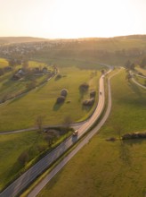
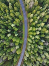
BRK26C79_179
Winding country road through green fields and tree...
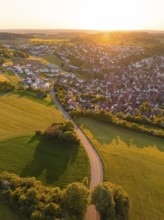
BRK26C86_075
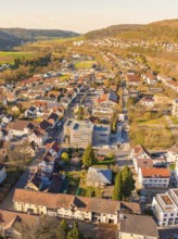
View of a village and a road surrounded by fields ...
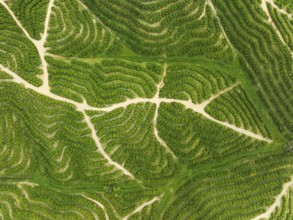
BRK26C60_495
Cultivated orange trees (Citrus sinensis) and netw...
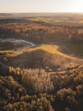
BRK26C77_056
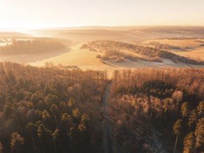
Aerial view of autumnal forests and hills with fie...
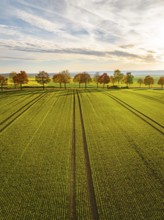
BRK26C93_487
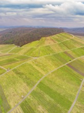
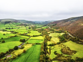
Aerial view of green fields and roads in hilly ter...
BRK26C56_356
Panorama at the summit of the Wilder Freiger with ...
BRK26C59_274
Aerial view of a road through a forest and past fi...
BRK26C82_409
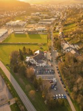
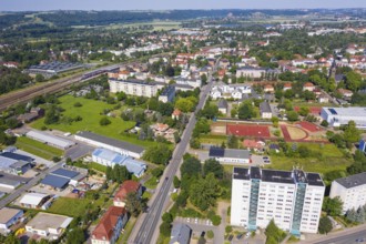
Aerial view of a road through a rural and urban en...
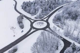
BRK26D05_197
Aerial view of a roundabout in winter surroundings...
BRK26C78_013
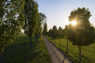
Aerial view of avenue in autumn at sunrise with ag...
BRK26D03_204
A bird's eye view of the road as it curves through...
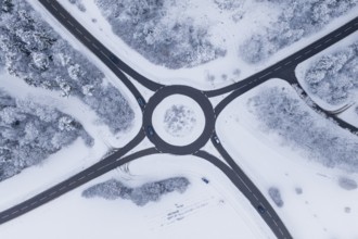
BRK26C81_224
Aerial view of a snowy roundabout surrounded by tr...
BRK26C84_403
Autumn colours of Farms over River Wye and Road A4...
BRK26C95_132
Winding country road through a forest, Swabian Alb...
BRK26C77_126
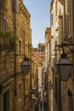
High angle view of narrow street with tourists and...
BRK26C58_112
Panorama of Moors and Road A82 over Glencoe Valley...
BRK26C59_442
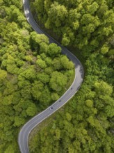
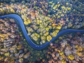
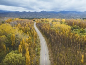
Winding country road through a forest with autumn-...
BRK26C79_116
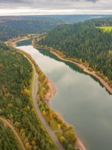
Aerial view of a river meandering through a forest...
BRK26C66_082
Aerial view with Dresdner Straße and railway stati...
BRK26C71_349
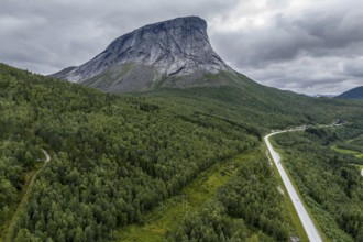
Aerial view of road E6, granite rock formation Kra...
BRK26C65_407
Aerial view, glacial stream flows around a large r...
BRK26C88_439
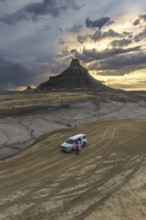
Aerial view, lonely road with offroad car, desert ...
BRK26C78_407
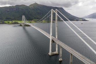
Suspension bridge Gjemnessundbrua, road E39, aeria...
BRK26C64_471
Aerial view, drone photo: Europabrücke Bienenwerde...
BRK26C63_348
Gravel road Ruta Jubierre, desert, rock formations...
BRK26C65_259
Aerial view of an avenue with evening sun, Kesseld...
BRK26C72_400
Road on cliffs in evening light, steep cliffs on t...
BRK26C61_239
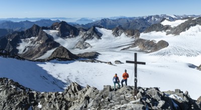
Aerial view, Alpine panorama, hikers at the summit...
BRK26C82_166
Road on cliffs in evening light, steep cliffs on t...
BRK26D01_327
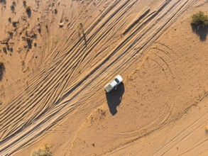
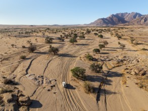
Aerial view of off-road car driving in dry riverbe...
BRK26C77_023
Stunning aerial capture of the unique geological f...
BRK26C77_476
Aerial view of a vehicle in a empty desert road wi...
BRK26C89_208
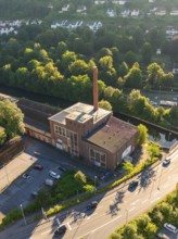
Aerial view of an industrial building on a street ...
BRK26C68_424
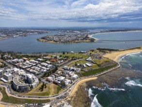
A breathtaking aerial view of Newcastle, New South...
BRK26C73_461
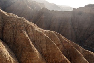
A stunning aerial view of a rugged mountain landsc...
BRK26C81_137
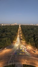
An aerial view of Berlin's Strabe des 17 Juni at d...
BRK26D00_009
Captivating aerial photograph showcasing the sinuo...
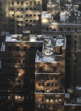
BRK26C74_414
Top view of a New York City block capturing buildi...
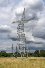
BRK26C83_339
Emscherkunst, artwork Zauberlehrling by the Berlin...
BRK26C90_244
Stunning aerial shot captures the rich, golden hue...
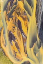
BRK26C96_146
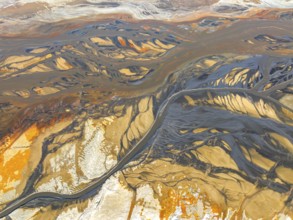
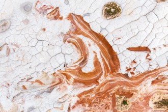
Aerial view showcasing the unique textures of a go...
BRK26C99_389
Detroit, Michigan USA -8 February 2026 - President...
BRK26C71_347
From above exterior of aged building with tiled ro...
BRK26C90_098
Stunning aerial shot capturing the intricate, text...
BRK26C84_498
Aerial view of a neighbourhood with houses and str...
BRK26C97_087
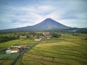
A breathtaking aerial view of Mount Semeru, the hi...
BRK26C73_218
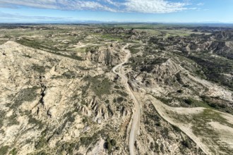
A captivating aerial shot of the unique and intric...
BRK26C78_149
From above an unrecognizable person standing next ...
BRK26C97_008
Aerial view of a vast desert landscape featuring a...
BRK26D00_354
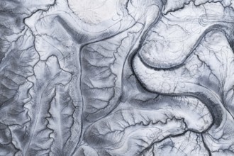
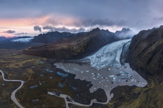
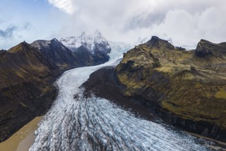
Stunning aerial shot capturing the expansive Vatna...
BRK26D01_376
Aerial shot of a sandy beach during sunset, castin...
BRK26D01_440
Aerial view captures the diverse landscape of Cant...
BRK26C71_111
Stunning aerial capture of Vatnajökull Glacier win...
BRK26C74_410
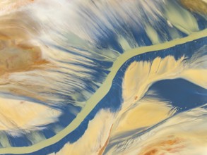
From above, this striking aerial shot captures vib...

BRK26C86_275
Overhead view of vibrant green lanes vividly marki...
BRK26D04_078
Majestic snow-capped Mount Cook surrounded by dram...
BRK26C74_228
Captivating aerial view showcasing the intricate a...
BRK26C79_033
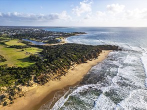
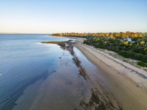
Aerial view of a coastal landscape showcasing a sa...
BRK26C86_269
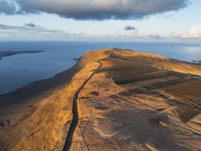
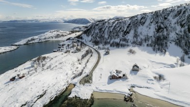
Aerial view of a Nordic landscape showcasing a roa...
BRK26C96_429
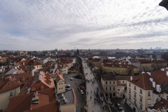
Beautiful aerial snapshot of Prague showcasing a c...
BRK26D04_421
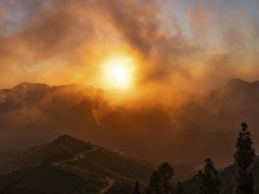
Dramatic sunset lighting up the clouds and mist ov...
BRK26C75_474
Default
BRK26C99_410
Aerial view of a serene beach at low tide with a l...
BRK26C95_500
From above, this breathtaking aerial drone image c...
BRK26C80_254
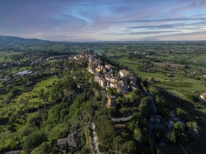
Breathtaking aerial view of Treia, Italy, showcasi...
BRK26C99_273
An expansive aerial shot capturing the rugged and ...
BRK26C68_422
Aerial photo contrasting vibrant green and gray la...
BRK26C73_413
Aerial view of Popcorn Beach, striking coastline w...
BRK26C77_247
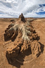
Panoramic aerial view of Goblin Valley State Park ...
BRK26C82_453
Aerial view of a serene Nordic landscape showcasin...
BRK26C89_302
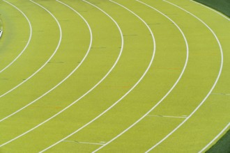
A vibrant aerial shot of a freshly marked bright g...
BRK26C66_371
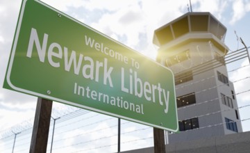
Newark liberty international airport green road si...
BRK26C85_110
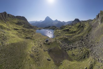
A stunning aerial view captures the tranquil Ayous...
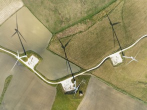
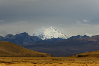
BRK26C57_034
Windmills on a wind farm near Zahara de los Atunes...
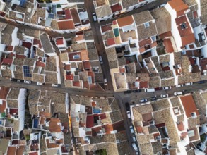
BRK26C60_268
Streets and rooftops in the White Town of Olvera. ...
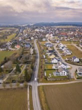
BRK26C90_291
Aerial view of a rural suburb with streets and hou...
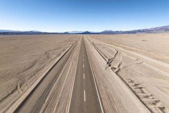
BRK26C85_016
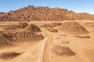
A straight road stretches across a vast desert lan...
BRK26C67_342
Aerial view of a winding tree-lined stream in the ...
BRK26C86_281
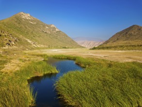
Landscape in Oman, mountains, Wadi Ashawq, road, r...
BRK26D03_025
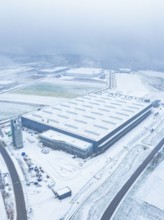
Large industrial plant in the snow, surrounded by ...
BRK26C63_081
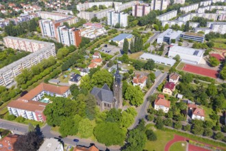
Aerial view of the New Church, in the background t...
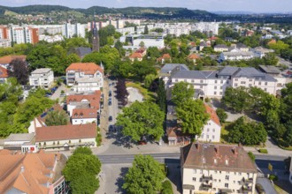
BRK26C63_205
Aerial view of Wettinplatz and the New Church, in ...
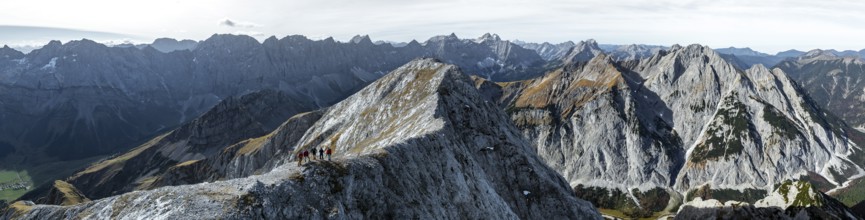
BRK26C62_129
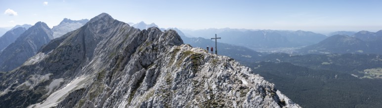
Hikers on the Gamsjoch, aerial view, Alpine panora...
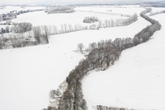
BRK26C66_301
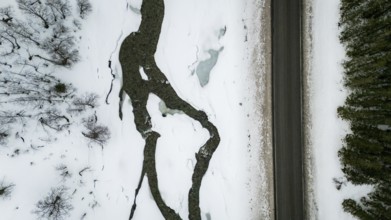
Aerial view of a winding country road in the snow,...
BRK26D01_289
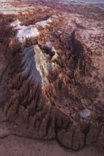
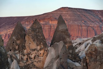
Rock carved dwellings in the dramatic cone shaped ...
BRK26C79_251
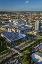
MUNICH, GERMANY, JULY 08, 2018: Aerial view of BMW...
BRK26C82_301
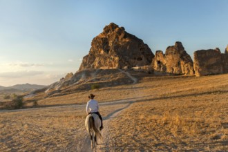
A local Turkish man rides a horse through the volc...
BRK26C31_162
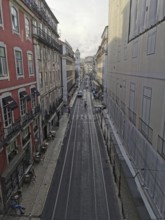
View from above of a long, empty city street with ...
BRK26C30_167
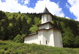
Sfantul Ilie Paltinul Monastery, Holy Prophet Elia...
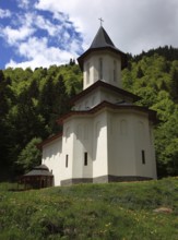
BRK26C30_165
Sfantul Ilie Paltinul Monastery, Holy Prophet Elia...

BRK26C33_428
View from above of a passenger crossing the platfo...
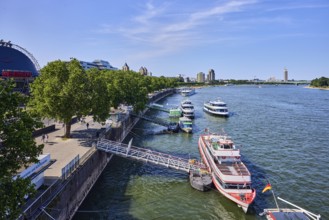
BRK26C29_153
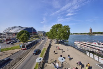
Rhine river, large tent Musical Dome, exhibition t...
BRK26C54_425
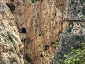
Tourists on the elevated path of the caminito del ...
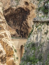
BRK26C54_424
Tourists on the elevated path of the caminito del ...
BRK26C29_138
Rhine river, general architecture, Zoobrücke car b...
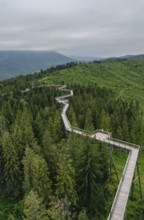
BRK26C12_085
An aerial view of an elevated wooden walkway meand...
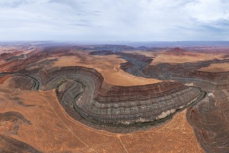
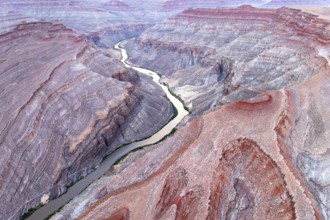
BRK26C12_471
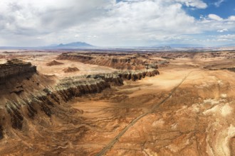
Panoramic aerial view of the San Juan canyon, show...
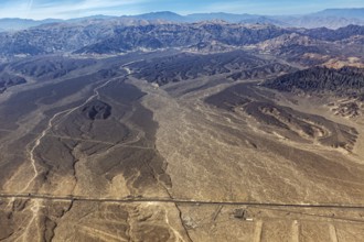
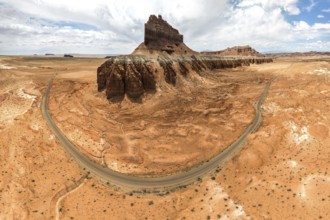
BRK26C23_251
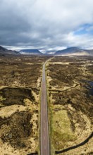
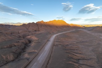
Extensive desert landscape with a long straight ro...
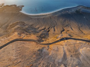
BRK26C11_468
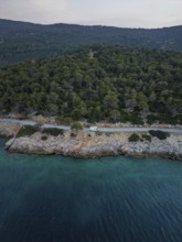
Aerial view of a van in a coastal road running thr...
BRK26C12_098
This stunning aerial photograph captures the intri...
- Page
-
- sur
- 125