Période

7157 résultats pour : drone perspective

  • Page
  • sur
  • 72
Connectez-vous pour plus de résultats
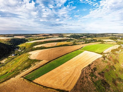
Cliffs and Farms over North Devon and Cornwall Coastpath Border from a drone, Welcombe Mouth Beach,
BRK26I53_356

Cliffs and Farms over North Devon and Cornwall Coa...
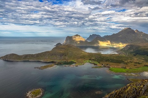
Dramatic aerial view of Lofoten coast with rugged mountains, turquoise sea and green landscape from
BRK26I52_490

Dramatic aerial view of Lofoten coast with rugged ...
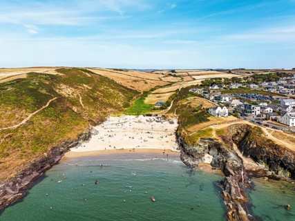
Polzeath Beach over Padstow Bay from a drone, Polzeath, Cornwall, England, Summer 2026
BRK26I61_052

Polzeath Beach over Padstow Bay from a drone, Polz...
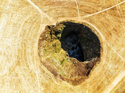
Top Down View of Trevone Round Hole over Trevone Bay from a drone, Trevone, Padstow, Cornwall,
BRK26I61_266

Top Down View of Trevone Round Hole over Trevone B...
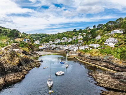
Polperro Harbour and Village from a drone, Polperro, Looe, Cornwall, England, United Kingdom
BRK26I66_317

Polperro Harbour and Village from a drone, Polperr...
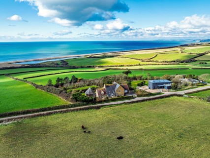
Farms over Swyre and West Bexington from a drone, West Bexington Nature Reserve, S W Coast Path,
BRK26I82_334

Farms over Swyre and West Bexington from a drone, ...
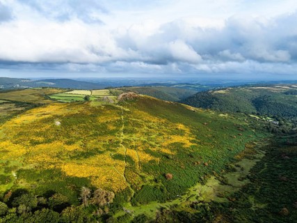
Sharp Tor from a drone, Dartmeet, East Dartmoor, Devon, England, United Kingdom
BRK26I99_115

Sharp Tor from a drone, Dartmeet, East Dartmoor, D...
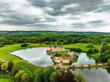
Leeds Castle from a drone, River Len, Kent, EnglandDefault
BRK26I53_219

Leeds Castle from a drone, River Len, Kent, Englan...
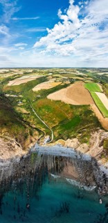
Cliffs and Farms over North Devon and Cornwall Coastpath Border from a drone, Welcombe Mouth Beach,
BRK26I57_188

Cliffs and Farms over North Devon and Cornwall Coa...
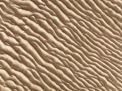
Sand patterns in the Namib Desert. Aerial view. Drone shot. Skeleton Coast, Namibia
BRK26I59_030

Sand patterns in the Namib Desert. Aerial view. Dr...
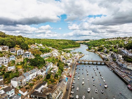
LOOE over River Looe from a drone, Cornwall, England, United Kingdom
BRK26I60_002

LOOE over River Looe from a drone, Cornwall, Engla...
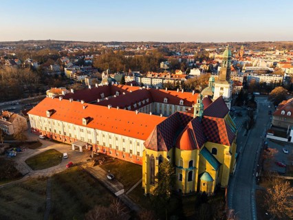
Drone aerial view of the Sanctuary of Saint Hedwig in Trzebnica, Poland, featuring the historic
BRK26I62_192

Drone aerial view of the Sanctuary of Saint Hedwig...
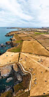
Panorama of Farms and Fields over Cliffs and Porthcothan Bay from a drone, Porthcothan, Padstow,
BRK26I64_262

Panorama of Farms and Fields over Cliffs and Porth...
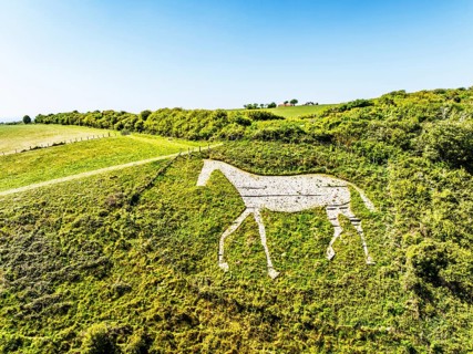
Litlington White Horse over Cuckmere Valley from a drone, Hindover Hill, South Downs, East Sussex,
BRK26I64_382

Litlington White Horse over Cuckmere Valley from a...
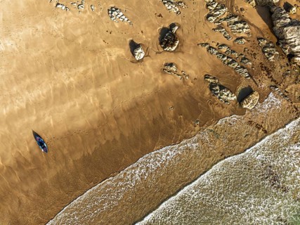
Top Down view fo woman with kayak over Beach from a drone, North Devon and Cornwall Coastpath
BRK26I66_208

Top Down view fo woman with kayak over Beach from ...
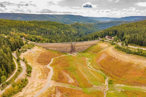
Dam in an autumnal mountain landscape, surrounded by extensive forest areas, rehabilitation of the
BRK26I66_210

Dam in an autumnal mountain landscape, surrounded ...
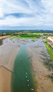
Panorama of Fields and Farms over Bosham Quay from a drone, Chichester Harbour National Landscape,
BRK26I67_314

Panorama of Fields and Farms over Bosham Quay from...
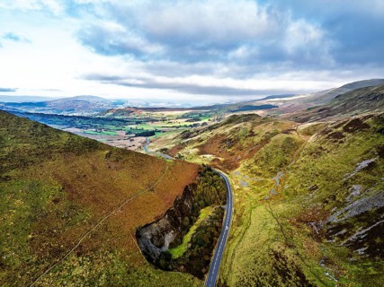
Autumn colours over Mach Loop from a drone, Minffordd, Tywyn, Wales, UK
BRK26I86_023

Autumn colours over Mach Loop from a drone, Minffo...
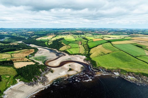
Cliffs over Mothecombe Beach and Red Cove from a drone, River Emme, Mothecombe, Plymouth, South
BRK26I93_243

Cliffs over Mothecombe Beach and Red Cove from a d...
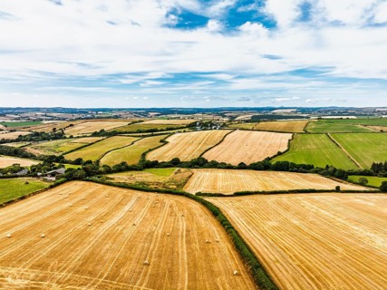
Cornwall Fields and Farms from a drone, Polruan, Cornwall, EnglandDefault
BRK26I53_432

Cornwall Fields and Farms from a drone, Polruan, C...
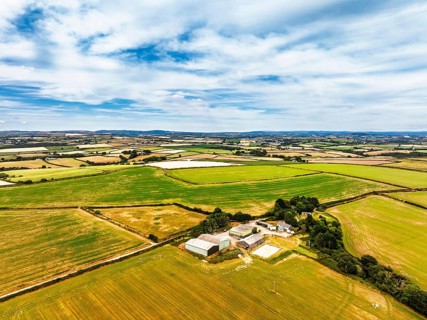
Cornwall Fields and Farms from a drone, Polruan, Cornwall, EnglandDefault
BRK26I54_199

Cornwall Fields and Farms from a drone, Polruan, C...
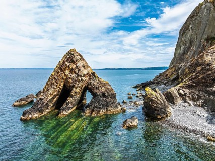
Blackchurch Rock and Cliffs over Mouthmill Beach from a drone, North Devon Coast, Devon, England,
BRK26I55_475

Blackchurch Rock and Cliffs over Mouthmill Beach f...
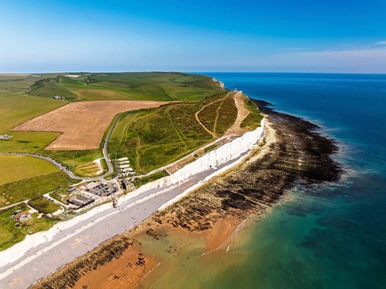
Seven Sisters Cliffs from a drone, English Channel, East Sussex, South-east England
BRK26I56_423

Seven Sisters Cliffs from a drone, English Channel...
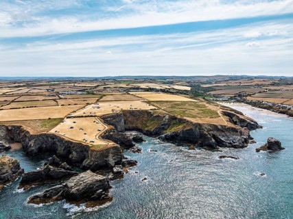
Farms and Fields over Cliffs and Porthcothan Bay from a drone, Porthcothan, Padstow, Cornwall,
BRK26I58_301

Farms and Fields over Cliffs and Porthcothan Bay f...
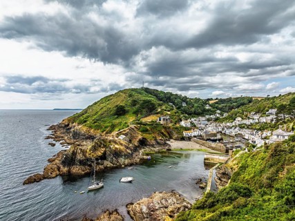
Polperro Harbour and Village from a drone, Polperro, Looe, Cornwall, England, United Kingdom
BRK26I62_085

Polperro Harbour and Village from a drone, Polperr...
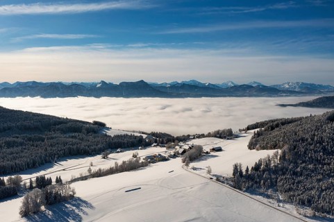
Drone flight over a winter landscape with farmhouses and sea of fog, Mondseeland, Salzkammergut,
BRK26I86_323

Drone flight over a winter landscape with farmhous...
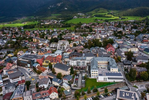
Drone image, residential buildings, town view, Saalfelden am Steinernen Meer, Pinzgau, Salzburg
BRK26I91_148

Drone image, residential buildings, town view, Saa...
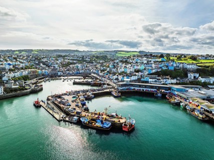
Brixham Hourbour and Brixham Marina from a drone, Brixham, Torbay, Devon, England, United Kingdom
BRK26I93_114

Brixham Hourbour and Brixham Marina from a drone, ...

From above, this aerial drone capture showcases a breathtaking view of abstract natural textures,
BRK26J01_088

From above, this aerial drone capture showcases a ...
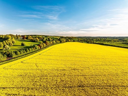
Rapeseed Fields and Farms over Horsebridge nad Stockbridge from a drone, Hampshire, England, United
BRK26I54_031

Rapeseed Fields and Farms over Horsebridge nad Sto...
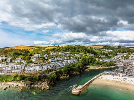
Beach and Cliffs over Looe Bay from a drone, Looe, River Looe, Cornwall, England, United Kingdom
BRK26I56_154

Beach and Cliffs over Looe Bay from a drone, Looe,...
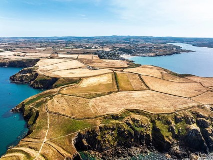
Seven Souls Rock and Pentire Point and Bay over Padstow Bay from a drone, Polzeath, Cornwall,
BRK26I59_207

Seven Souls Rock and Pentire Point and Bay over Pa...
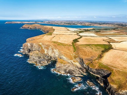
View of cliffs over Gunver Head and Trevone Bay from a drone, Trevone, Padstow, Cornwall, England,
BRK26I60_260

View of cliffs over Gunver Head and Trevone Bay fr...
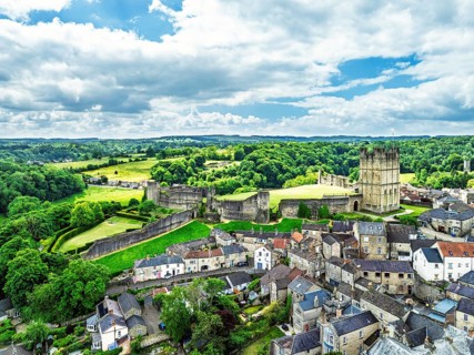
Richmond Castle from a drone, Richmond, Yorkshire Dales, North Yorkshire, England, United Kingdom
BRK26I60_269

Richmond Castle from a drone, Richmond, Yorkshire ...
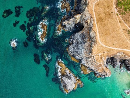
Top Down view of Cliffs over Porthcothan Bay from a drone, Porthcothan, Padstow, Cornwall, England,
BRK26I61_124

Top Down view of Cliffs over Porthcothan Bay from ...
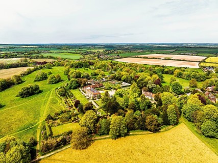
Hinton Ampner House and Garden from a drone, Winchester, Hampshire, England, United Kingdom
BRK26I70_117

Hinton Ampner House and Garden from a drone, Winch...
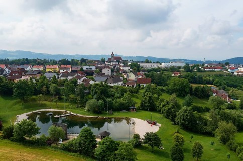
Drone image, bathing lake, Tragwein, Freistadt district, Mühlviertel, Upper Austria, Austria
BRK26I77_446

Drone image, bathing lake, Tragwein, Freistadt dis...
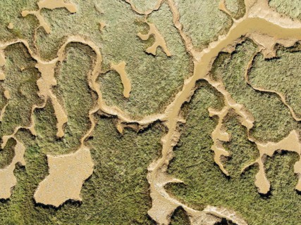
Network of channels and streams at low tide. In the marshland of the Piedras River. Aerial view.
BRK26I80_448

Network of channels and streams at low tide. In th...
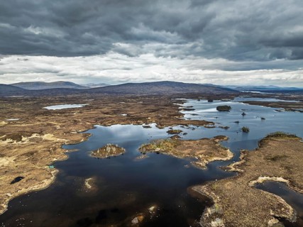
Rannoch Moor from a drone over Loch Ba and Loch of the Armpit, A82 Highland Way, Argyll and Bute,
BRK26I91_033

Rannoch Moor from a drone over Loch Ba and Loch of...
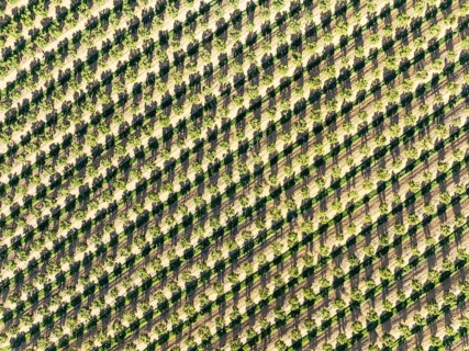
Cultivated trees. Aerial view. Drone shot. Huelva province, Andalusia, Spain
BRK26I91_318

Cultivated trees. Aerial view. Drone shot. Huelva ...
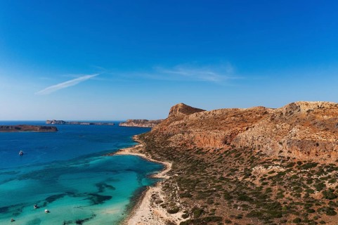
Drone shot, Gramvousa peninsula with view to the beach and bay of Balos, Kolimbari, West Crete,
BRK26I96_328

Drone shot, Gramvousa peninsula with view to the b...
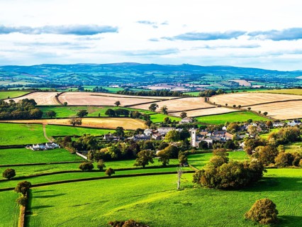
Colours of Devon Farms and Fields over Berry Pomeroy from a drone, Totnes, England, United Kingdom
BRK26J02_139

Colours of Devon Farms and Fields over Berry Pomer...
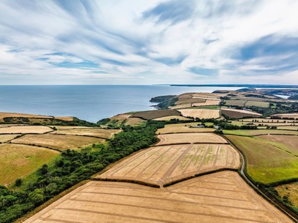
Cornwall Fields and Farms from a drone, Polruan, Cornwall, England, United Kingdom
BRK26I53_079

Cornwall Fields and Farms from a drone, Polruan, C...
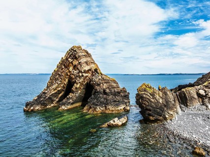
Blackchurch Rock and Cliffs over Mouthmill Beach from a drone, North Devon Coast, Devon, England,
BRK26I58_454

Blackchurch Rock and Cliffs over Mouthmill Beach f...
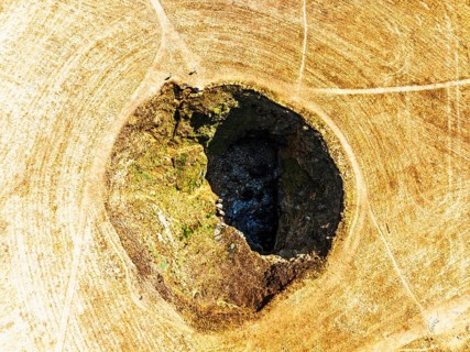
Top Down View of Trevone Round Hole over Trevone Bay from a drone, Trevone, Padstow, Cornwall,
BRK26I61_060

Top Down View of Trevone Round Hole over Trevone B...
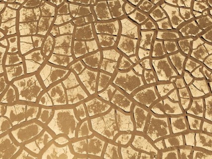
Cracked earth. Aerial view. Drone shot. Namib Desert, Skeleton Coast, Namibia
BRK26I61_460

Cracked earth. Aerial view. Drone shot. Namib Dese...
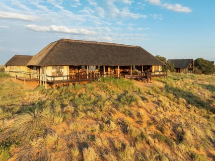
The main building of the Ta Shebube Rooiputs Lodge in the Kalahari Desert during the rainy season
BRK26I72_262

The main building of the Ta Shebube Rooiputs Lodge...
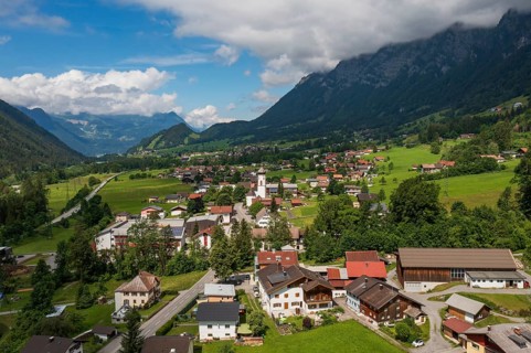
Drone image, view of the village with parish church, Braz, Klostertal, Vorarlberg, Austria
BRK26I76_195

Drone image, view of the village with parish churc...
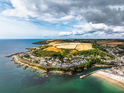
Beach and Cliffs over Looe Bay from a drone, Looe, River Looe, Cornwall, England, United Kingdom
BRK26I53_240

Beach and Cliffs over Looe Bay from a drone, Looe,...
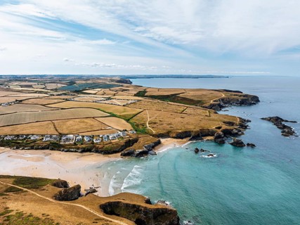
Farms and Fields over Cliffs and Porthcothan Bay from a drone, Porthcothan, Padstow, Cornwall,
BRK26I56_136

Farms and Fields over Cliffs and Porthcothan Bay f...
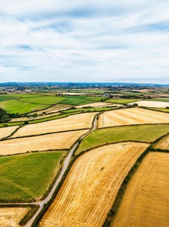
Cornwall Fields and Farms from a drone, Polruan, Cornwall, England, United Kingdom
BRK26I57_140

Cornwall Fields and Farms from a drone, Polruan, C...
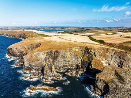
View of cliffs over Gunver Head and Trevone Bay from a drone, Trevone, Padstow, Cornwall, England,
BRK26I58_467

View of cliffs over Gunver Head and Trevone Bay fr...
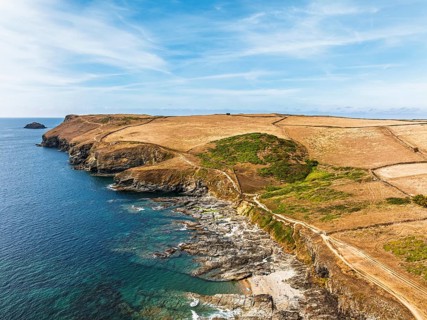
View of Pentire Point and Bay over Padstow Bay from a drone, Polzeath, Cornwall, England, Summer
BRK26I59_037

View of Pentire Point and Bay over Padstow Bay fro...
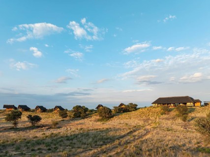
The Ta Shebube Rooiputs Lodge in the Kalahari Desert during the rainy season with green vegetation.
BRK26I72_459

The Ta Shebube Rooiputs Lodge in the Kalahari Dese...
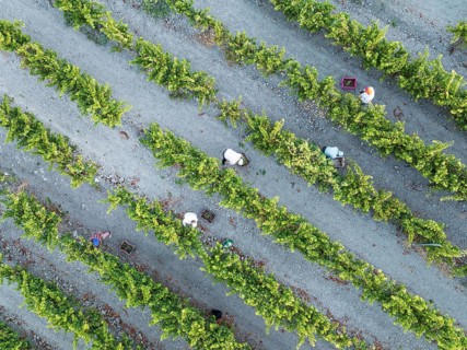
Vintage at the vineyard of the Bodega González Byass near the town of Jerez de la Frontera. Aerial
BRK26I73_330

Vintage at the vineyard of the Bodega González Bya...
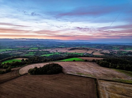
Sunset of Devon Farms and Fields over Berry Pomeroy from a drone, Totnes, England, United Kingdom
BRK26I84_118

Sunset of Devon Farms and Fields over Berry Pomero...
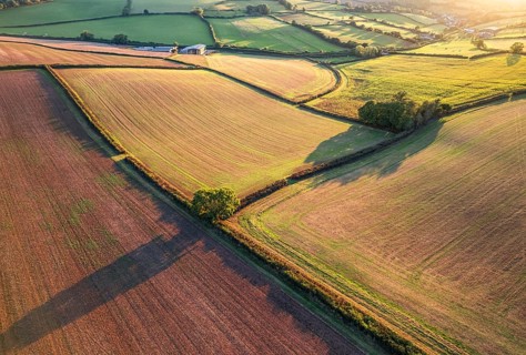
Top Down over Fields and Farmlands from a drone, Devon, England, United Kingdom
BRK26I95_175

Top Down over Fields and Farmlands from a drone, D...
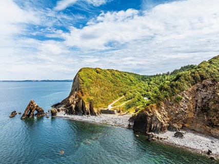
Blackchurch Rock and Cliffs over Mouthmill Beach from a drone, North Devon Coast, Devon, England,
BRK26I58_299

Blackchurch Rock and Cliffs over Mouthmill Beach f...
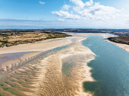
View of River Camel Estuary from a drone at low tide over Padstow and Rock, Cornwall, England,
BRK26I54_181

View of River Camel Estuary from a drone at low ti...
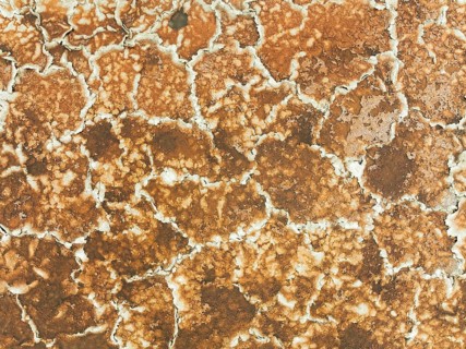
Salt marsh at the Skeleton Coast. Aerial view. Drone shot. Dorob National Park, Namibia
BRK26I52_483

Salt marsh at the Skeleton Coast. Aerial view. Dro...
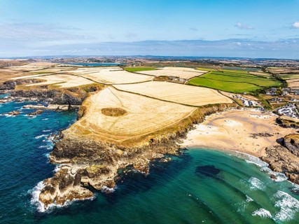
View of Trevone Beach and Trevone Bay from a drone, Trevone, Padstow, Cornwall, England, United
BRK26I60_064

View of Trevone Beach and Trevone Bay from a drone...
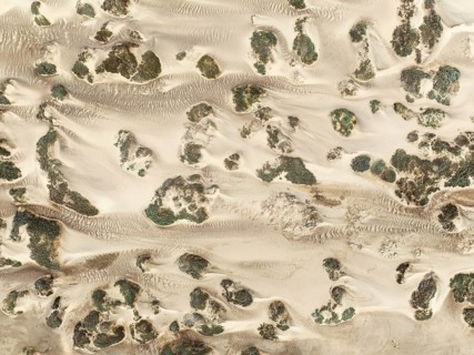
Sand hummocks caused by dwarf shrubs. Aerial view. Drone shot. Namib Desert, Skeleton Coast,
BRK26I62_384

Sand hummocks caused by dwarf shrubs. Aerial view....
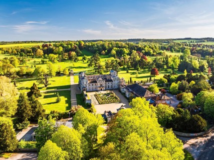
Wilton House from a drone, Wilton, River Nadder, Salisbury, Wiltshire, England, United Kingdom
BRK26I67_417

Wilton House from a drone, Wilton, River Nadder, S...
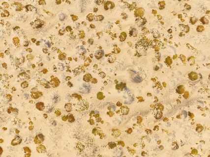
Sparse desert vegetation, mainly Salsola species. Aerial view. Drone shot. Namib Desert, Skeleton
BRK26I69_334

Sparse desert vegetation, mainly Salsola species. ...
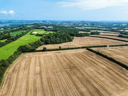
Cornwall Fields and Farms from a drone, River Tamar, Plymouth, England, United Kingdom
BRK26I87_472

Cornwall Fields and Farms from a drone, River Tama...
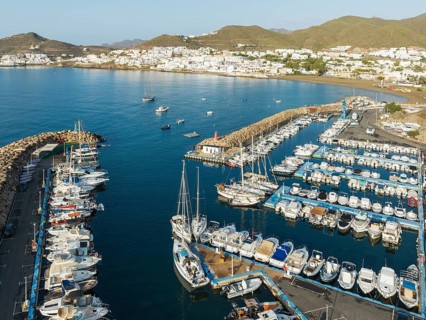
The marina of San José. Aerial view. Drone shot. Nature Reserve Cabo de Gata-Nijar, Almería
BRK26I89_396

The marina of San José. Aerial view. Drone shot. N...
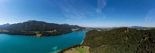
Drone shot, Fuschl Castle, Fuschlsee, Fuschl am See, Salzkammergut, Land Salzburg, Austria
BRK26I93_363

Drone shot, Fuschl Castle, Fuschlsee, Fuschl am Se...
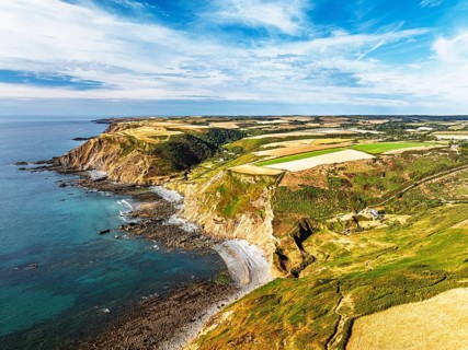
Cliffs and Fields over Welcombe Mouth Beach from a drone, North Devon and Cornwall Coastpath
BRK26I53_031

Cliffs and Fields over Welcombe Mouth Beach from a...
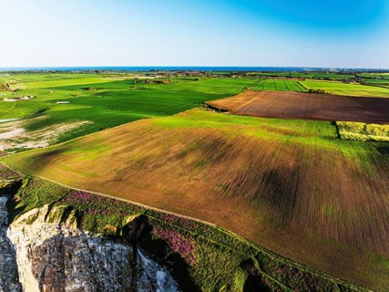
Farm and Fields over Bempton Cliffs from a drone, Yorkshire, England, United Kingdom
BRK26I54_414

Farm and Fields over Bempton Cliffs from a drone, ...
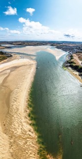
Panorama of River Camel Estuary from a drone at low tide over Padstow and Rock, Cornwall, England,
BRK26I61_281

Panorama of River Camel Estuary from a drone at lo...
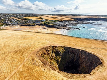
Top Down View of Trevone Round Hole over Trevone Bay from a drone, Trevone, Padstow, Cornwall,
BRK26I64_102

Top Down View of Trevone Round Hole over Trevone B...
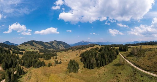
Drone shot of the Illingeralm with a view of the Pillsteinhöhe and Zwölferhorn, Osterhorn group,
BRK26I97_154

Drone shot of the Illingeralm with a view of the P...
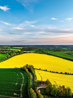
Rapeseed Fields and Farms over Horsebridge nad Stockbridge from a drone, Hampshire, England, United
BRK26I55_365

Rapeseed Fields and Farms over Horsebridge nad Sto...
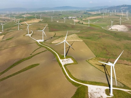
Windmills on a wind farm near Zahara de los Atunes, aerial view, drone shot, Cádiz province,
BRK26I52_475

Windmills on a wind farm near Zahara de los Atunes...
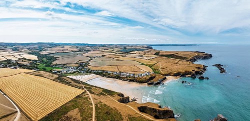
Farms and Fields over Cliffs and Porthcothan Bay from a drone, Porthcothan, Padstow, Cornwall,
BRK26I56_235

Farms and Fields over Cliffs and Porthcothan Bay f...
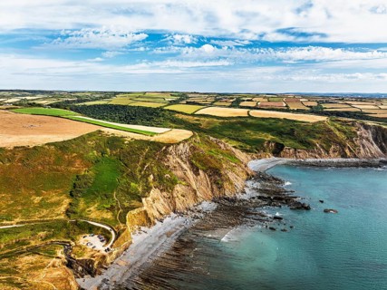
Cliffs and Fields over Welcombe Mouth Beach from a drone, North Devon and Cornwall Coastpath
BRK26I58_156

Cliffs and Fields over Welcombe Mouth Beach from a...
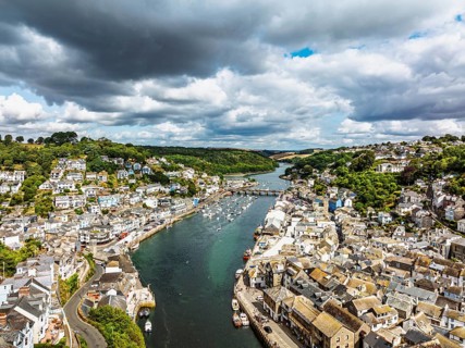
LOOE over River Looe from a drone, Cornwall, England, United Kingdom
BRK26I62_258

LOOE over River Looe from a drone, Cornwall, Engla...
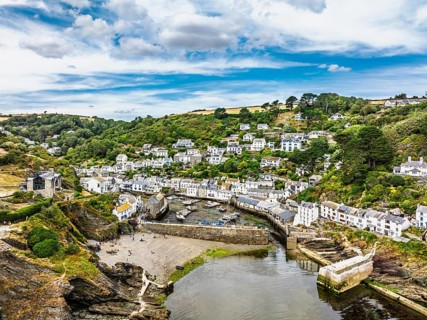
Polperro Harbour and Village from a drone, Polperro, Looe, Cornwall, England, United Kingdom
BRK26I66_180

Polperro Harbour and Village from a drone, Polperr...
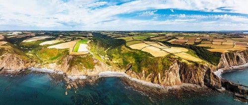
Panorama of Cliffs and Fields over Welcombe Mouth Beach from a drone, North Devon and Cornwall
BRK26I66_461

Panorama of Cliffs and Fields over Welcombe Mouth ...
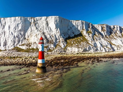
Beachy Head Lighthouse from a drone, Beachy Head Cliffs, English Channel, East Sussex, England,
BRK26I74_314

Beachy Head Lighthouse from a drone, Beachy Head C...
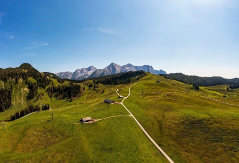
Drone shot, Hochalm, Loferer Alm with view to the Loferer Steinberge, Lofer, Pinzgau, Salzburg
BRK26I83_489

Drone shot, Hochalm, Loferer Alm with view to the ...
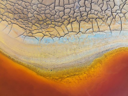
Cracked earth at the bank of the Rio Tinto (Red river) with its deep reddish hue due to oxidised
BRK26I94_408

Cracked earth at the bank of the Rio Tinto (Red ri...
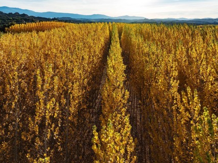
European Aspen (Populus tremula) in autumnal colours. Cultivated for timber. Aerial view. Drone
BRK26I95_100

European Aspen (Populus tremula) in autumnal colou...
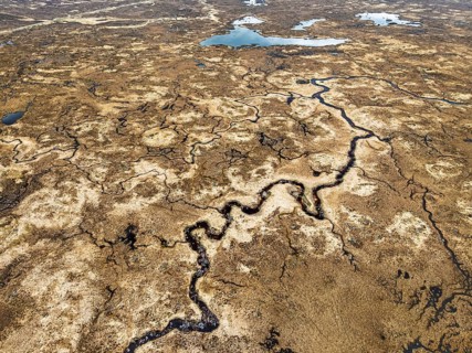
Top Down over Rannoch Moor from a drone, Loch Ba and Loch of the Armpit, A82 Highland Way, Argyll
BRK26I95_306

Top Down over Rannoch Moor from a drone, Loch Ba a...
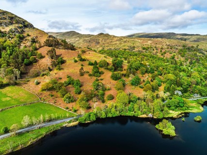
Farms and Mountains over road A591 from a drone, Grasmere Lake, Grasmere, Ambleside, Lake District,
BRK26J00_491

Farms and Mountains over road A591 from a drone, G...
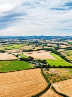
Cornwall Fields and Farms from a drone, Polruan, Cornwall, England, United Kingdom
BRK26I56_243

Cornwall Fields and Farms from a drone, Polruan, C...
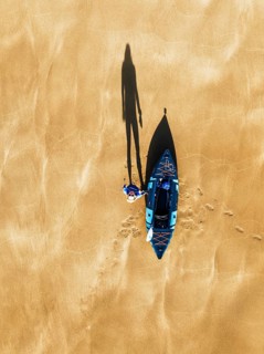
Top Down view fo woman with kayak over Beach from a drone, North Devon and Cornwall Coastpath
BRK26I56_087

Top Down view fo woman with kayak over Beach from ...
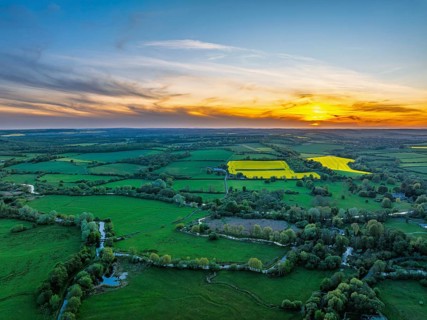
Sunset of Fields and Farms over Horsebridge nad Stockbridge from a drone, Hampshire, England,
BRK26I57_106

Sunset of Fields and Farms over Horsebridge nad St...
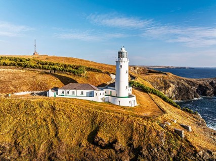
Trevose Head Lighthouse from a drone, Padstow, Cornwall, England, United Kingdom
BRK26I57_170

Trevose Head Lighthouse from a drone, Padstow, Cor...
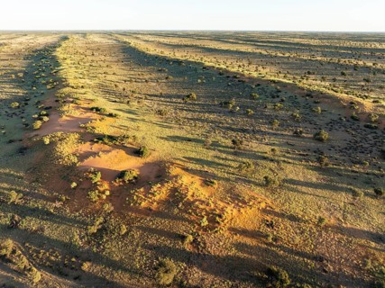
Parallel, linear sand dunes grown with camelthorn trees (Vachellia erioloba) in the Kalahari Desert
BRK26I58_391

Parallel, linear sand dunes grown with camelthorn ...
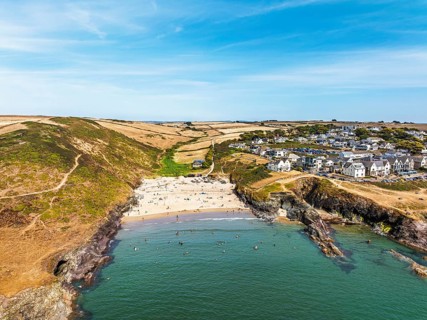
Polzeath Beach over Padstow Bay from a drone, Polzeath, Cornwall, England, Summer 2026
BRK26I60_251

Polzeath Beach over Padstow Bay from a drone, Polz...
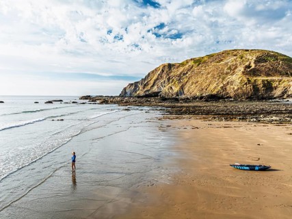
Woman and dog with kayak on Beach from a drone, North Devon and Cornwall Coastpath Border from a
BRK26I63_219

Woman and dog with kayak on Beach from a drone, No...
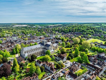
Winchester Cathedral from a drone, Winchester, Hampshire, England, United Kingdom
BRK26I66_262

Winchester Cathedral from a drone, Winchester, Ham...
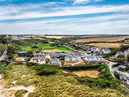
View of Porthcothan and Porthcothan Beach from a drone, Porthcothan, Padstow, Cornwall, England,
BRK26I70_399

View of Porthcothan and Porthcothan Beach from a d...
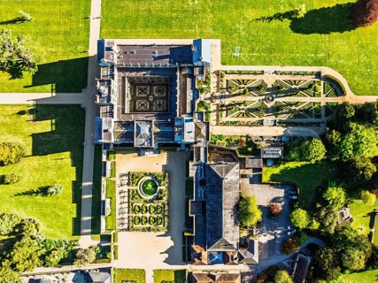
Top Down view over Wilton House from a drone, Wilton, River Nadder, Salisbury, Wiltshire, England,
BRK26I75_195

Top Down view over Wilton House from a drone, Wilt...
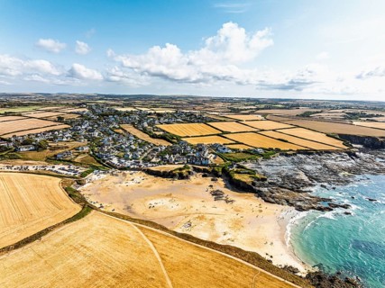
View of Trevone Beach and Trevone Bay from a drone, Trevone, Padstow, Cornwall, England, United
BRK26I76_425

View of Trevone Beach and Trevone Bay from a drone...
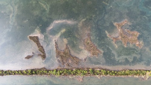
Aerial view of a serene wetland in San Vicente de la Barquera, Cantabria, Spain. The image captures
BRK26I79_225

Aerial view of a serene wetland in San Vicente de ...
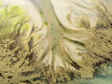
Sandy deposits, channels and streams at low tide at the Lago de la Gaviota (lake of the seagull).
BRK26I82_393

Sandy deposits, channels and streams at low tide a...
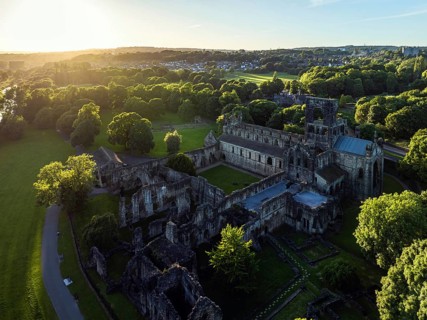
Kirkstall Abbey from a drone, Kirkstall, River Aire, Leeds, West Yorkshire, England, United Kingdom
BRK26I85_056

Kirkstall Abbey from a drone, Kirkstall, River Air...
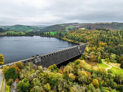
Llyn Brianne Dam and Reservoir from a drone, Lake Vyrnwy, Powys, Wales, England, United Kingdom
BRK26I97_027

Llyn Brianne Dam and Reservoir from a drone, Lake ...

  • Page
  • sur
  • 72