641 résultats pour : cultivated form
- Page
-
- sur
- 7
Connectez-vous pour plus de résultats
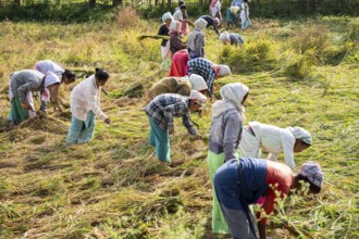
BRK26C67_263
Group of women harvesting rice paddy, in a rice ag...
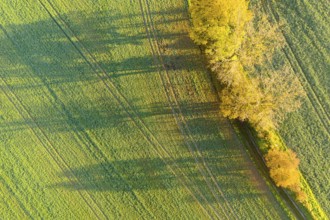
BRK26C60_363
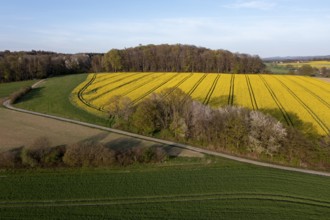
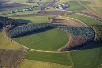
Aerial view of a row of trees with autumn leaves c...
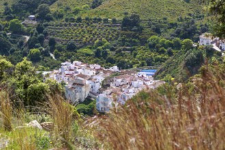
BRK26C68_014
Picturesque village of Salares at the foot of Sier...
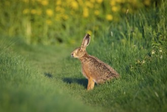
BRK26C95_123
A hare sits in front of a flowering rape field nea...
BRK26B92_226
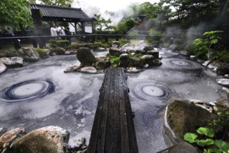
Bubbles form in the solfatar field of Oniishibouzu...
BRK26B67_305
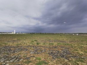
Cloudy sky over a wide field with flying dragons, ...
BRK26B63_476
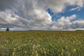
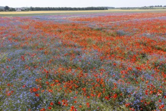
A field of yellow and purple flowers stretches und...
BRK26B76_427
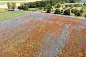
Aerial view of a field where corn poppies (Papaver...
BRK26B05_097
Aerial view of a field where corn poppies (Papaver...
BRK26A68_450
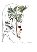
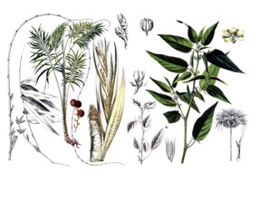
Useful plants, cultivated plants, dragon rotang, c...
BRK26A68_441
Useful plants, cultivated plants, dragon rotang, c...
BRK26A76_332
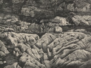
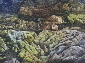
Karrenfeld Dachstein, fascinating karst landscape ...
BRK26A66_113
Wavy rapeseed fields and meadows in the Wiehen Mou...
BRK26A66_398
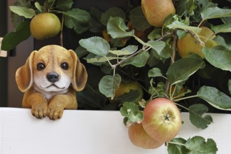
Dog, dog figure between ripe apples on an apple tr...
BRK26A07_357
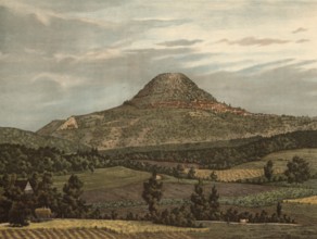
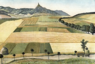
Hohenstaufen, a 684 m high Zeugenberg in front of ...
BRK26A05_251
Karrenfeld Dachstein, fascinating karst landscape ...
BRK26A07_348
Kyffhäuser with golden floodplain, low mountain ra...
BRK25M49_204
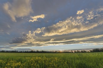
A vivid sunset lights up the sky with shades of or...
BRK25M21_306
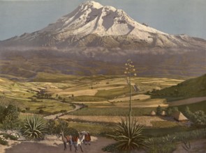
Chimborazo volcano in Ecuador, authentic reproduct...
BRK25M21_253
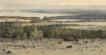
Savolax, Savo, Savolaine countryside known for its...
BRK25L91_357
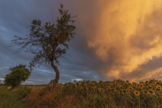
Sunflowers stretch across a peaceful field while a...
BRK25K57_218
A vast landscape of sown fields stretches out unde...
BRK25K88_036
A mango farm in Australia, Queensland, photographe...
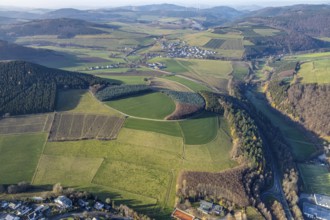
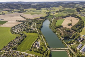
BRK25K30_434
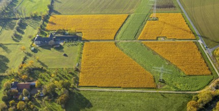
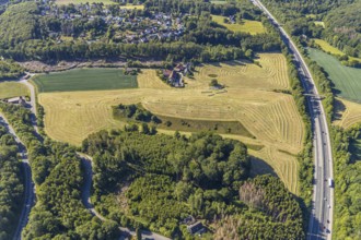
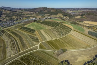
Aerial view, Agricultural area, Farm Auf der Niede...
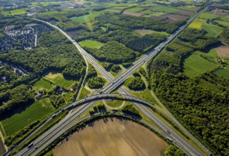
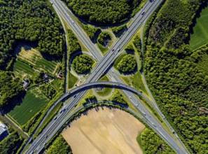
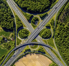
BRK25K34_158
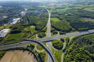
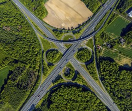
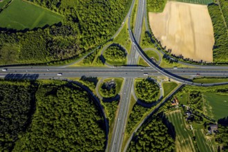
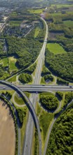
Aerial view, motorway junction Münster-Süd, motorw...
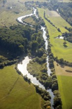
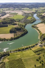
BRK25K35_279
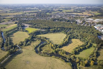
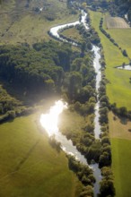
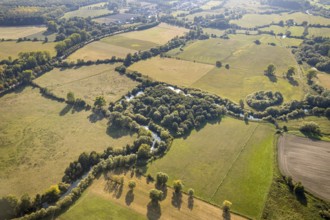
Aerial view, river Lippe, Lippeauen-West, Hagedorn...
BRK25K34_159
Aerial view, motorway junction Münster-Süd, motorw...
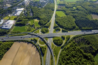
BRK25K34_179
Aerial view, motorway junction Münster-Süd, motorw...
BRK25K37_159
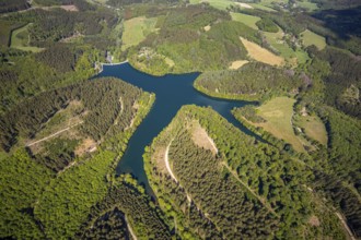
Aerial view, Hennetalsperre, Hennesee, excursion b...
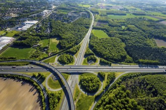
BRK25K34_157
Aerial view, motorway junction Münster-Süd, motorw...
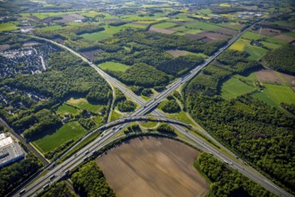
BRK25K34_187
Aerial view, motorway junction Münster-Süd, motorw...
BRK25K35_390
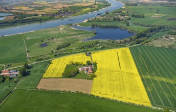
Aerial view, river Rhine, farmstead in rape field,...
BRK25K29_317
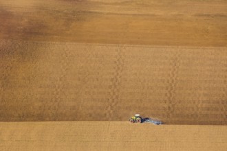
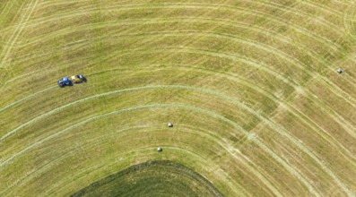
Aerial view, tractor in the field, harvest time, h...
BRK25K34_022
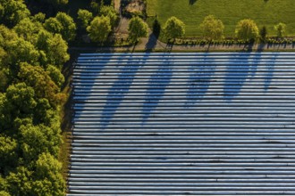
Aerial view, asparagus fields, asparagus cultivati...
BRK25K34_165
Aerial view, motorway junction Münster-Süd, motorw...
BRK25K35_282
Aerial view, river Lippe, Lippeauen-West, Hagedorn...
BRK25K34_164
Aerial view, motorway junction Münster-Süd, motorw...
BRK25K40_133
HULLERN 16.12.2020 Grassland- Structures of a fiel...
BRK25K34_010
Aerial view, asparagus fields, asparagus cultivati...
BRK25K34_163
Aerial view, motorway junction Münster-Süd, motorw...
BRK25K35_256
Aerial view, River Lippe, Lippeauen-West, Hagedorn...
BRK25K35_281
Aerial view, river Lippe, Lippeauen-West, Hagedorn...
BRK25K34_162
Aerial view, motorway junction Münster-Süd, motorw...
BRK25K29_218
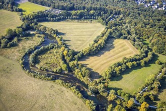
Aerial view, meadows and fields Mehrstraße, Friedr...
BRK25K30_440
Aerial view, Agricultural area, Farm Auf der Niede...
BRK25K34_161
Aerial view, motorway junction Münster-Süd, motorw...
BRK25K35_267
Aerial view, River Lippe, Lippeauen-West, Hagedorn...
BRK25K35_425
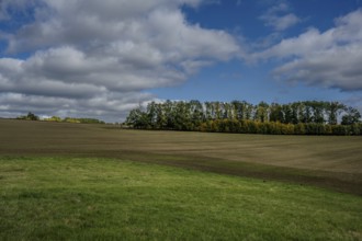
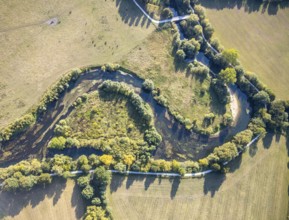
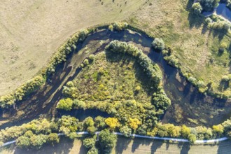
Aerial view, meadows and forest pattern near Bödef...
BRK25K30_439
Aerial view, Agricultural area, Farm Auf der Niede...
BRK25K34_160
Aerial view, motorway junction Münster-Süd, motorw...
BRK25K35_270
Aerial view, River Lippe, Lippeauen-West, Hagedorn...
BRK25K35_278
Aerial view, river Lippe, Lippeauen-West, Hagedorn...
BRK25K30_438
Aerial view, Agricultural area, Farm Auf der Niede...
BRK25K35_280
Aerial view, river Lippe, Lippeauen-West, Hagedorn...
BRK25K38_269
Aerial view, Fürwiggetalsperre, Meinerzhagen, Märk...
BRK25K45_108
Aerial view, Mühlengraben, Mühlenteich, Ennigerbac...
BRK25K29_316
Aerial view, tractor in the field, harvest time, h...
BRK25K30_437
Aerial view, Agricultural area, Farm Auf der Niede...
BRK25K35_269
Aerial view, River Lippe, Lippeauen-West, Hagedorn...
BRK25K35_426
Aerial view, meadows and forest pattern near Bödef...
BRK25K38_270
Aerial view, Fürwiggetalsperre, Meinerzhagen, Märk...
BRK25K29_028
Aerial view, rape fields at the Massener Heide, mo...
BRK25K30_436
Aerial view, Agricultural area, Farm Auf der Niede...
BRK25K35_271
Aerial view, River Lippe, Lippeauen-West, Hagedorn...
BRK25K35_422
Aerial view, meadows and forest pattern near Bödef...
BRK25K30_402
Aerial view, Agricultural area, Farm Auf der Niede...
BRK25K37_162
Aerial view, Hennetalsperre, Hennesee, excursion b...
BRK25K29_029
Aerial view, rape fields at the Massener Heide, mo...
BRK25K30_435
Aerial view, Agricultural area, Farm Auf der Niede...
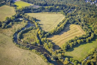
BRK25K35_146
Aerial photograph, Lippe floodplain nature reserve...
BRK25K35_273
Aerial view, River Lippe, Lippeauen-West, Hagedorn...
BRK25K48_076
Aerial view, river Lippe, Datteln-Hamm canal, Lipp...
BRK25K30_433
Aerial view, Agricultural area, Farm Auf der Niede...
BRK25K35_272
Aerial view, River Lippe, Lippeauen-West, Hagedorn...
BRK25K37_155
Aerial view, Hennetalsperre, Hennesee, KNAUS Campi...
BRK25K37_158
Aerial view, Hennetalsperre, Hennesee, excursion b...
BRK25J96_476
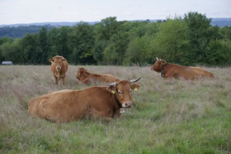
Farm animals with cowbell, bell, tradition, cultur...
BRK25J96_481
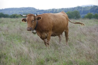
Farm animals with cowbell, bell, tradition, cultur...
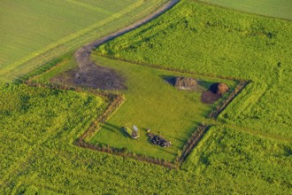
BRK25J31_448
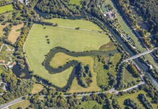
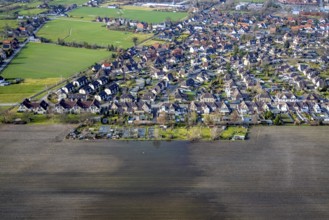
Aerial photograph, flooded fields in the Maximilia...
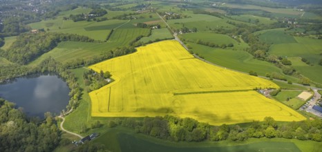
BRK25J34_187
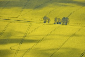
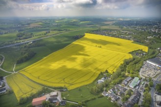
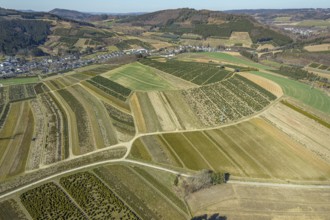
Aerial view, rape fields Heidestraße corner Dümges...
BRK25J48_237
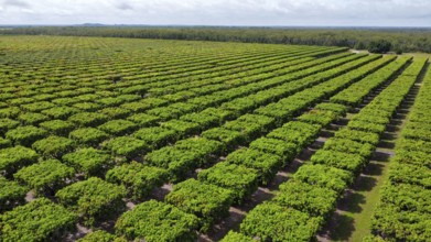
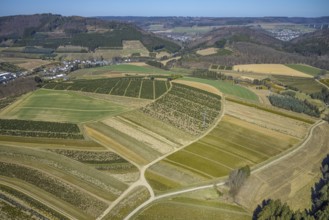
Aerial view, agricultural plantation cultivation A...
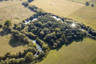
BRK25J49_275
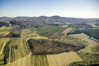
Aerial view, tree plantations, nature reserve Elpe...
BRK25J34_190
Aerial view, rape fields Heidestraße corner Dümges...
BRK25J48_238
Aerial view, agricultural plantation cultivation A...
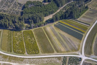
BRK25J49_274
Aerial view, tree plantations, nature reserve Elpe...
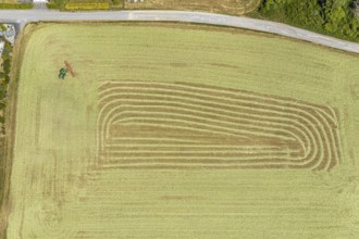
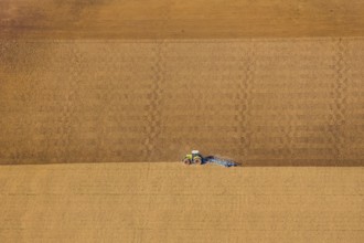
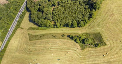
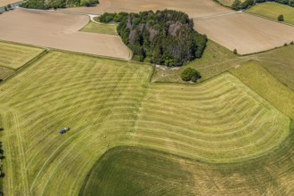
BRK25J06_203
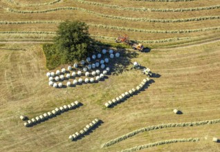
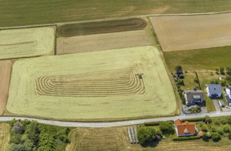
Aerial view, agricultural fields, hay harvest, tra...
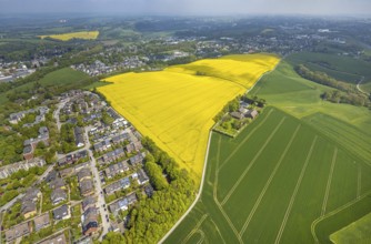
BRK25J34_185
Aerial view, rape fields Heidestraße corner Dümges...
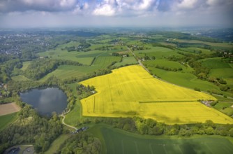
BRK25J34_202
Aerial view, rape fields at Abtskücher pond, Hette...
BRK25J49_273
Aerial view, tree plantations, nature reserve Elpe...
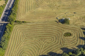
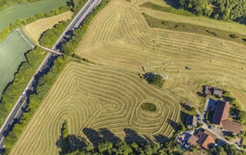
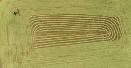
BRK25J06_272
Aerial view, agricultural fields, tractor mowing m...
BRK25J06_202
Aerial view, agricultural fields, hay harvest, tra...
BRK25J34_186
Aerial view, rape fields Heidestraße corner Dümges...
BRK25J49_266
Aerial view, tree plantations, nature reserve Elpe...
BRK25J06_244
Aerial view, agricultural fields, tractor mowing m...
BRK25J06_204
Aerial view, agricultural fields, hay harvest, tra...
BRK25J34_201
Aerial view, rape fields, Hetterscheidt, Heiligenh...
BRK25J49_278
Aerial view, tree plantations, meadows and fields,...
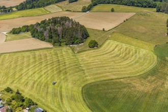
BRK25J06_273
Aerial view, agricultural fields, tractor mowing m...
BRK25J49_264
Aerial view, tree plantations, nature reserve Elpe...
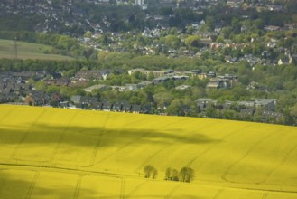
BRK25J34_188
Aerial view, rape fields Heidestraße corner Dümges...
- Page
-
- sur
- 7