721 résultats pour : arnsberg forest
- Page
-
- sur
- 8
Connectez-vous pour plus de résultats
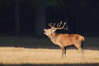
BRK26C92_244
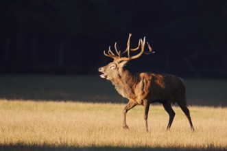
Red deer (Cervus elaphus), roaring in the rutting ...
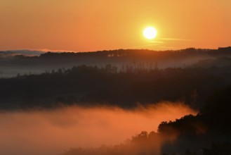
BRK26C64_277
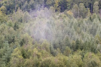
Sunrise, fog rising over the Arnsberg Forest natur...
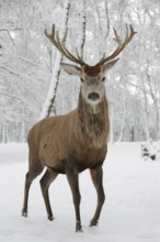
BRK26C56_126
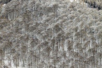
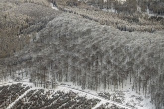
Red deer (Cervus elaphus) in winter, Arnsberg Fore...
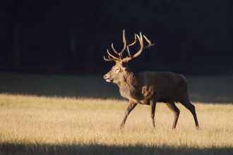
BRK26C38_235
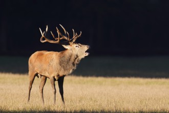
Red deer (Cervus elaphus), roaring in the rutting ...
BRK26B83_164
Red deer (Cervus elaphus), roaring in the rutting ...
BRK26B98_075
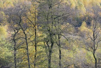
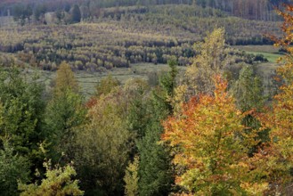
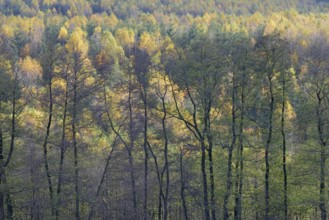
View over the autumn forest, Arnsberger Wald natur...
BRK26B98_076
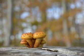
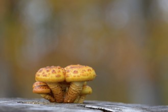
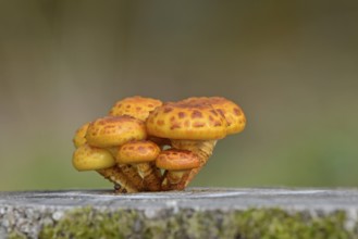
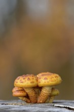
Goldfell-Schüppling (Pholiota aurivella) in autumn...
BRK26B15_111
Red deer (Cervus elaphus), roaring in the rutting ...
BRK26B33_442
Goldfell-Schüppling (Pholiota aurivella) in autumn...
BRK26B33_440
View over the autumn forest, Arnsberger Wald natur...
BRK26B33_447
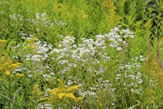
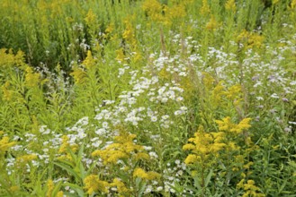
Erigeron annuus (Erigeron annuus) and goldenrod (S...
BRK26B33_446
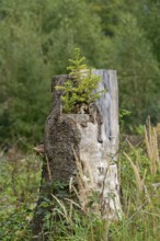
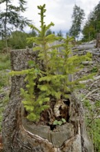
Spruce (Picea abies), young trees growing on a saw...
BRK26B33_445
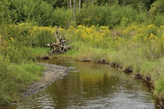
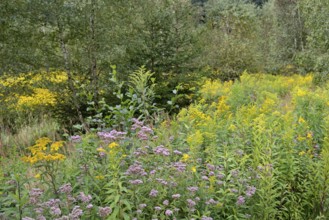
Forest stream in the Arnsberg Forest, goldenrod (S...
BRK26A82_327
View over the autumn forest, Arnsberger Wald natur...
BRK26A82_330
Goldfell-Schüppling (Pholiota aurivella) in autumn...
BRK26A82_353
Erigeron annuus (Erigeron annuus) and goldenrod (S...
BRK26A82_350
Hemp agrimony (Eupatorium cannabinum) and goldenro...
BRK26A82_346
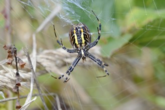
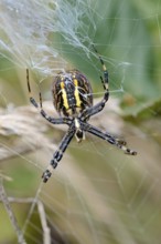
Wasp spider (Argiope bruennichi) in the web, femal...
BRK26A82_331
Goldfell-Schüppling (Pholiota aurivella) in autumn...
BRK26A82_344
Forest stream in the Arnsberg Forest, goldenrod (S...
BRK26A82_351
Spruce (Picea abies), young trees growing on a saw...
BRK26A82_348
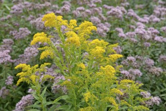
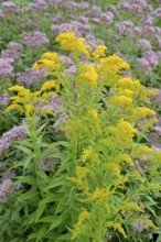
Goldenrod (Solidago) and Hemp agrimony (Eupatorium...
BRK26A82_349
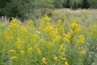
Goldenrod (Solidago) in bloom, Arnsberg Forest nat...
BRK26A82_347
Goldenrod (Solidago) and Hemp agrimony (Eupatorium...
BRK26A82_345
Wasp spider (Argiope bruennichi) in the web, femal...
BRK25M18_330
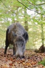
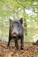
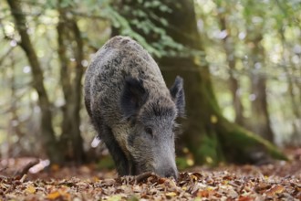
European wild boar (Sus scrofa scrofa), a female i...
BRK25L95_197
European wild boar (Sus scrofa scrofa), a female i...
BRK25L95_116
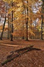
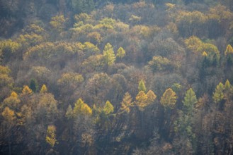
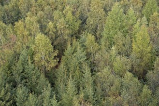
European beech forest (Fagus sylvatica) in autumn,...
BRK25L95_211
European wild boar (Sus scrofa scrofa), a female i...
BRK25K36_493
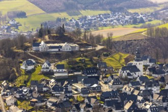
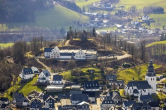
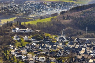
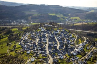
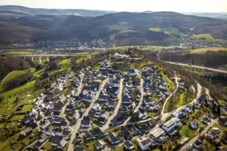
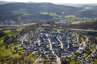
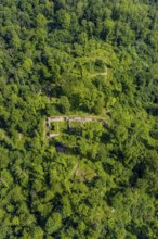
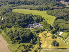
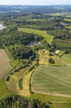
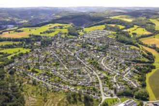
Aerial view, view of Eversberg, Eversberg Castle r...
BRK25K36_491
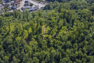
Aerial view, Eversberg Castle ruins, Schlossbergha...
BRK25K36_492
Aerial view, Eversberg Castle ruins, Schlossbergha...
BRK25K36_494
Aerial view, view of Eversberg, Eversberg Castle r...
BRK25K36_489
Aerial view, view of Eversberg, ruins of Eversberg...
BRK25K37_038
Aerial view, view of Eversberg, ruins of Eversberg...
BRK25K36_490
Aerial view, view of Eversberg, ruins of Eversberg...
BRK25J99_476
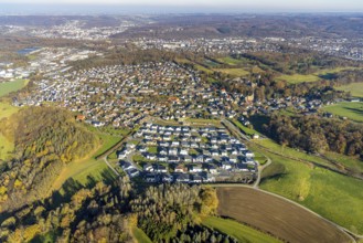
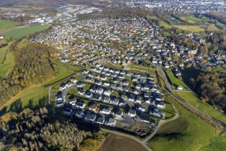
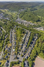
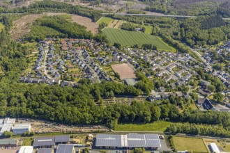
Aerial view, new housing estate Sternhelle-Ost on ...
BRK25J99_483
Aerial view, wild forest Voßwinkel forest area wit...
BRK25J99_477
Aerial view, new housing estate Sternhelle-Ost on ...
BRK25J99_482
Aerial view, wild forest Voßwinkel forest area in ...
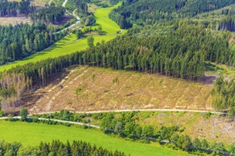
BRK25J99_469
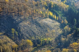
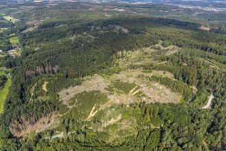
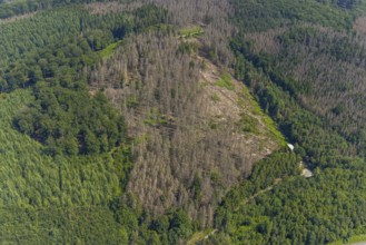
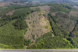
Aerial view, forest area with forest damage and vi...
BRK25J99_487
Aerial view, forest area with forest damage Arnsbe...
BRK25J99_471
Aerial view, forest area with forest damage and vi...
BRK25J99_424
Aerial view, housing estate Unterm Römberge, Römbe...
BRK25J99_423
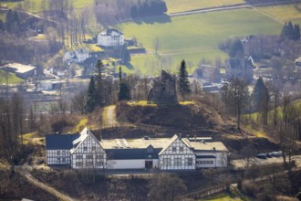
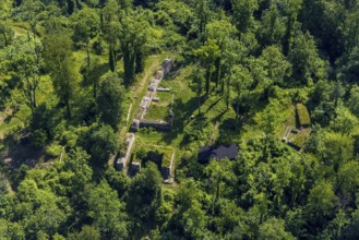
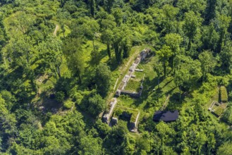
Aerial view, Rüdenburg castle ruins in the forest ...
BRK25J99_458
Aerial view, housing estate Unterm Römberge, Römbe...
BRK25J99_425
Aerial view, Rüdenburg castle ruins in the forest ...
BRK25J99_422
Aerial view, Rüdenburg castle ruins in the forest ...
BRK25J99_414
Aerial view, Rüdenburg castle ruins in the forest ...
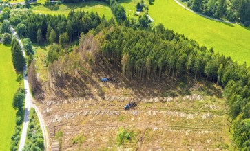
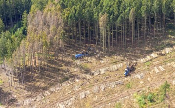
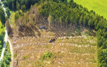
BRK25J06_340
Aerial photo, deforestation, harvester, nature res...
BRK25J05_401
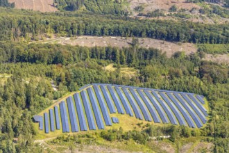
Solar plant in the nature reserve 3 wetland forest...
BRK25J05_312
Aerial view, terraced houses Am Stötchen, Alter So...
BRK25J05_393
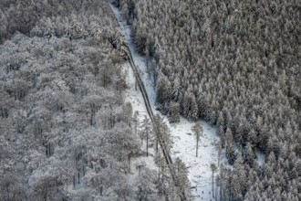
Forest damage in spruce forest nature reserve 3 we...
BRK25J06_342
Aerial photo, deforestation, harvester, nature res...
BRK25J05_347
Aerial view, residential area Am Schreppenberg, sp...
BRK25J49_157
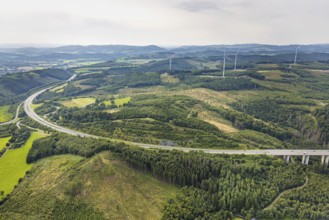
Aerial photo, forest damage on the A46 motorway at...
BRK25J06_341
Aerial photo, deforestation, harvester, nature res...
BRK25J06_344
Aerial photo, deforestation, harvester, nature res...
BRK25J06_343
Aerial photo, deforestation, harvester, nature res...
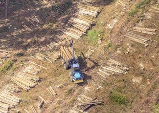
BRK25J06_385
Aerial photo, deforestation, harvester, nature res...
BRK25J05_276
Aerial view, Gut Stiepel, Stiepeler Straße, riding...
BRK25J20_250
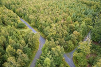
View over an autumnal mixed forest, Arnsberg Fores...
BRK25J20_252
View over an autumnal mixed forest with forest pat...
BRK25J05_351
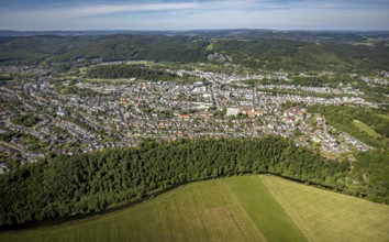
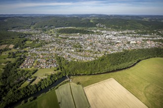
Aerial view, city view, Arnsberg district governme...
BRK25J05_248
Aerial view, Gut Stiepel, Stiepeler Straße, Arnsbe...
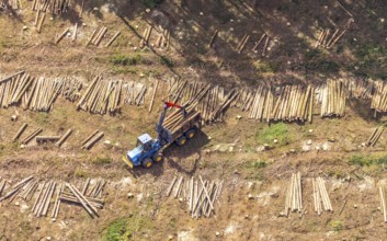
BRK25J06_384
Aerial photo, deforestation, harvester, nature res...
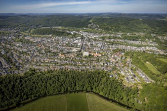
BRK25J05_350
Aerial view, city view, Arnsberg district governme...
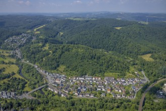
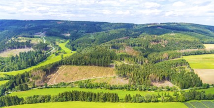
BRK25J22_124
Aerial view of the Arnsberg Forest near Meschede i...
BRK25J20_254
View over an autumnal mixed forest with forest pat...
BRK25J49_183
Aerial photo, forest area with forest damage in Ne...
BRK25J22_121
Aerial view of the Arnsberg Forest near Meschede i...
BRK25J05_298
Aerial view, city view, Arnsberg district governme...
BRK25J20_253
View over an autumnal mixed forest with rising mis...
BRK25J22_123
Aerial view of the Arnsberg Forest near Meschede i...
BRK25J05_250
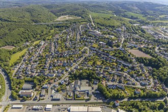
Aerial view, Niedereimer residential area, Niedere...
BRK25J49_210
Aerial photo, forest area with forest damage in Hü...
BRK25J05_249
Aerial view, youth forest home Obereimer of the Ar...
BRK25J05_302
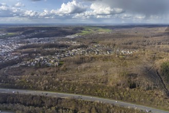
Aerial view, local view Wennigloh in forest area, ...
BRK25J49_179
Aerial photo, forest area with forest damage in Hü...
BRK25J05_304
Aerial view, local view Wennigloh in forest area, ...
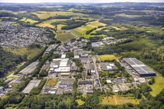
BRK25J05_326
Aerial view, industrial area Altes Feld, vocationa...
BRK25J05_349
Aerial view, Arnsberg district government, town ha...
BRK25J05_286
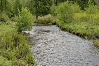
Aerial view, aerial view, river Ruhr, Arnsberg, Sa...
BRK25J05_333
Aerial view, local view Wennigloh in forest area, ...
BRK25J49_211
Aerial photo, forest area with forest damage in Hü...
BRK25I56_079
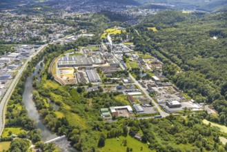
Aerial view, commercial area Wiebelsheide, behind ...
BRK25I56_103
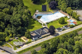
Aerial view, outdoor swimming pool Neheim, swimmin...
BRK25I56_231
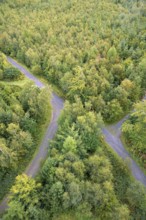
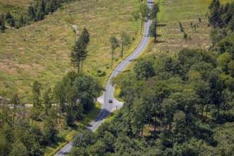
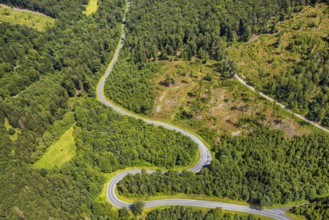
Aerial view, serpentines at the Ochsenkopf between...
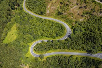
BRK25I56_238
Aerial view, serpentines at the Ochsenkopf between...
BRK25I97_374
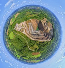
Aerial photo, Lanwehr Quarry Am Langen Stück, Ridi...
BRK25I97_402
Aerial view, forest area with forest damage and wi...
BRK25I56_061
Aerial view, residential area local view Herdringe...
BRK25I56_084
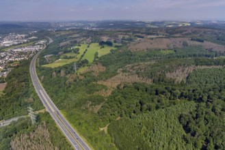
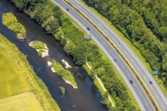
Aerial view, motorway A445 and river Möhne, cycle ...
BRK25I56_144
Aerial view, industrial area and sewage treatment ...
BRK25I56_239
Aerial view, serpentines at the Ochsenkopf between...
BRK25I97_370
Aerial photo, Ebel quarry, Effenberg plant, Herdri...
BRK25I98_002
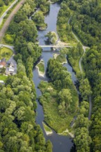
Aerial view, river Ruhr and nature island with Sch...
BRK25I56_123
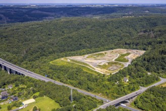
Aerial view, Feldhaus landfill site in the forest ...
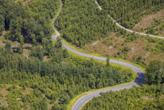
BRK25I56_233
Aerial view, serpentines at the Ochsenkopf between...
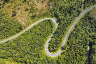
BRK25I56_236
Aerial view, serpentines at the Ochsenkopf between...
- Page
-
- sur
- 8