4196 résultats pour : agricultural road
- Page
-
- sur
- 42
Connectez-vous pour plus de résultats
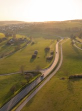
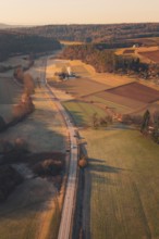
BRK26C79_179
Winding country road through green fields and tree...
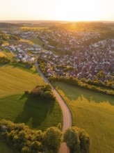
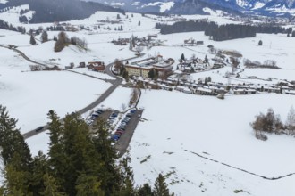
BRK26C86_075
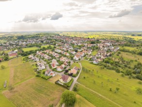
View of a village and a road surrounded by fields ...
BRK26C60_495
Cultivated orange trees (Citrus sinensis) and netw...
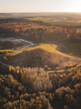
BRK26C77_056
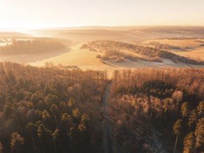
Aerial view of autumnal forests and hills with fie...
BRK26C93_487
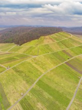
Aerial view of green fields and roads in hilly ter...
BRK26C59_274
Aerial view of a road through a forest and past fi...
BRK26C97_472
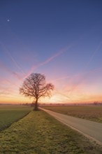
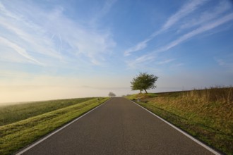
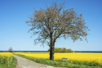
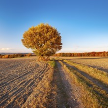
View along a road to a solitary tree in an agricul...
BRK26C78_013
Aerial view of avenue in autumn at sunrise with ag...
BRK26C63_495
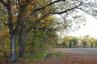
Forest path along the edge of a field with oak tre...
BRK26C64_424
Road, Field, Fruit tree, Fog, Sun, Morning, Altert...
BRK26C61_225
Road, Field, Fruit tree, Fog, Morning, Altertheim,...
BRK26C63_136
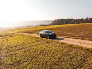
A black car on a dirt road in the middle of golden...
BRK26C65_325
Typical Tuscan landscape in Crete Senesi with hill...
BRK26C60_093
Field path with row of trees near Cavertitz, Saxon...
BRK26C87_484
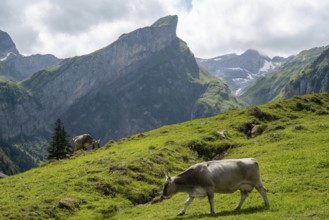
A picturesque scene at Seealpsee in Switzerland fe...

BRK26C84_045
A young girl, identifiable by her feminine dress a...
BRK26C88_297
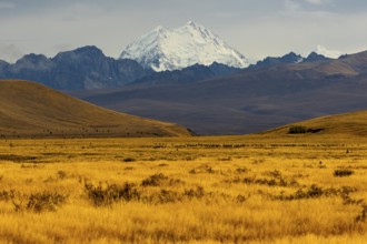
Breathtaking Mount Cook surrounded by golden field...
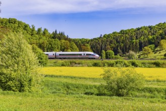
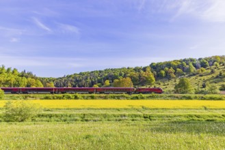
BRK26C56_039
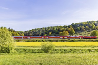
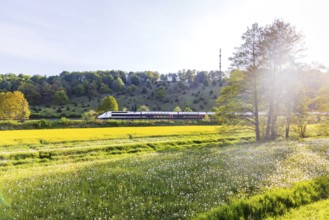
InterCityExpress ICE travelling across the Swabian...
BRK26D01_126
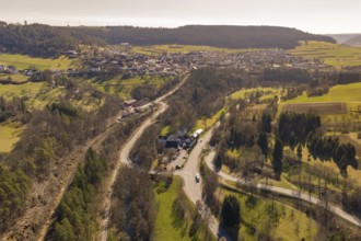
Roads cross a village with a building and neighbou...
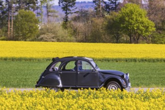
BRK26C62_461
Country road with Citroën 2CV Ente car on the Swab...

BRK26C65_484
Sunrise in the vineyards around Wackerbarth Castle...
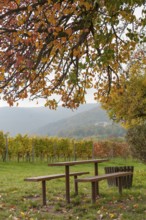
BRK26C62_147
Wooden tables under a colourful tree, vineyards an...
BRK26C97_087
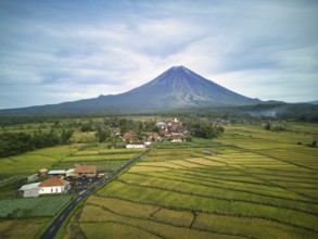
A breathtaking aerial view of Mount Semeru, the hi...
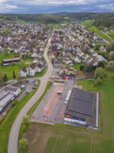
BRK26C59_022
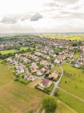
Residential area with densely built houses and str...
BRK26C60_475
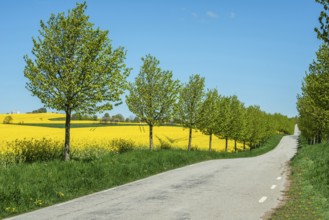
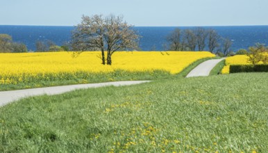
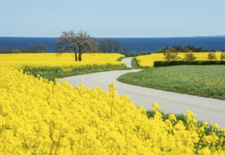
Country road at avenue and rapeseed field and blue...
BRK26C93_020
This image captures a breathtaking view of a green...
BRK26D01_440
Aerial view captures the diverse landscape of Cant...
BRK26C61_083
Tree at small country road through blooming rapese...
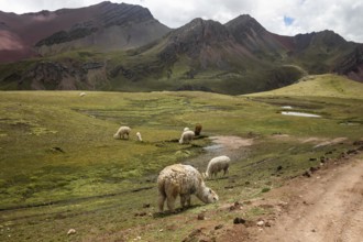
BRK26C87_201
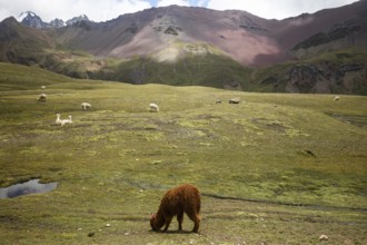
Alpaca and alpacas graze peacefully in the vibrant...
BRK26C59_401
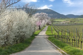
A picturesque path between blossoming trees and vi...
BRK26C64_485
Country road through blooming rapeseed fields and ...
BRK26C83_269
Field landscape in evening light, solitary oak on ...
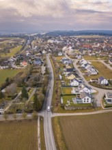
BRK26C61_162
Overview of a residential area with many houses an...
BRK26C67_226
RegionalExpress RE5 to Friedrichshafen travelling ...
BRK26C62_125
Curvy country road through blooming rapeseed field...
BRK26C56_044
TGV travelling over the Swabian Alb. Idyllic lands...
BRK26C63_321
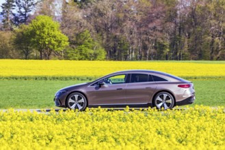
Country road with Mercedes EQS electric car on the...
BRK26C68_422
Aerial photo contrasting vibrant green and gray la...
BRK26C81_096
Alpacas graze peacefully in the stunning landscape...
BRK26C57_020
ÖBB RailJet travelling across the Swabian Alb. Idy...
BRK26C90_291
Aerial view of a rural suburb with streets and hou...
BRK26C55_275
Lane through Tuscan countryside at San Quirico, cy...

BRK26C70_402
A young woman in autumnal attire sits on stone ste...
BRK26C68_247
Rietburg near Edenkoben, Wine Route, Palatinate Fo...
BRK26C63_281
Field path through flowering rape fields (Brassica...
BRK26C82_301
A local Turkish man rides a horse through the volc...
BRK26C90_059
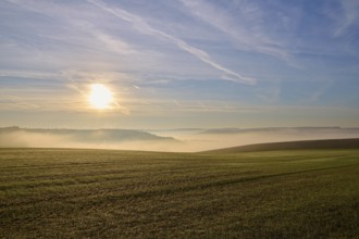
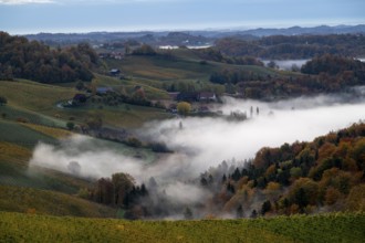
Rural landscape with fields and road in foggy morn...
BRK26C59_206
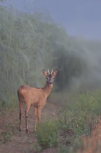
Wenn der Spargel schießt... Rehbock *Capreolus cap...
BRK26C58_210
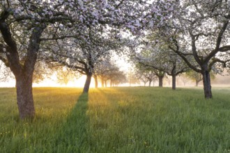
Fresh blossom, morning light, ground mist... simpl...
BRK26C84_456
Rural landscape with village, fields, forests and ...
BRK26C97_249
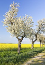
Alley with blossoming fruit trees between rape fie...

BRK26C48_418
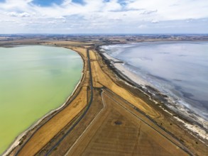
86, 5 MW peak ground-mounted photovoltaic systems,...
BRK26C23_261
Picturesque green landscape with a river and a woo...
BRK26C21_312
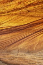
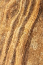
Intricate beauty of golden desert sandstone, showc...
BRK26C29_375
Snow-covered fields with a gently rolling river, s...
BRK26C21_317
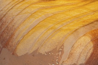
Close-up view of golden desert sandstone with natu...
BRK26C21_320
Intricate patterns and vibrant colors of golden de...
BRK26C32_444
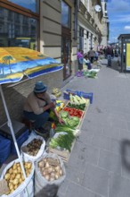
Vegetable sales from simple farmers on the road, L...
BRK26C52_085
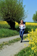
Young woman with backpack walking on a countryroad...
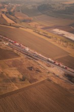
BRK26C31_333
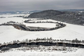
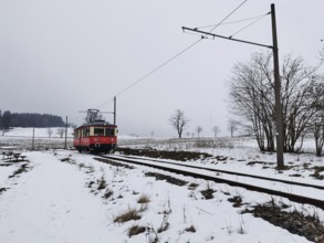
A red train travels through a snow-covered landsca...
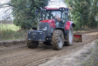
BRK26C27_235
Tractor grading and levelling work repair a muddy,...
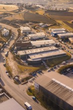
BRK26C07_019
View of an industrial area with roads, buildings a...
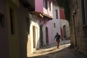
BRK26C26_355
Antakya, Turkey. December 22rd 2013 Young local gi...
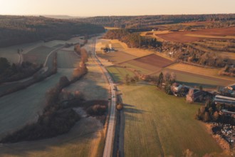
BRK26C07_142
Fields and a road extending through a rural landsc...
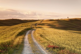
BRK26C07_137
A country road winding through fields and hills in...
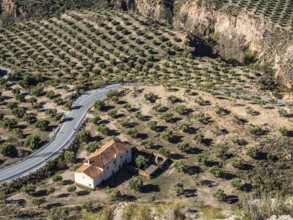
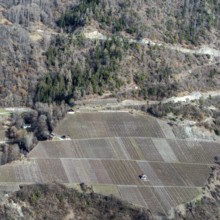
BRK26C55_155
Olive trees in the Gorafe Desert, single farm at a...
BRK26C26_420
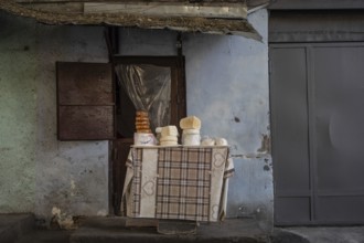
Small street stall shop selling local Georgian hom...
BRK26C33_466
Fire service on a country road in a hilly area at ...
BRK26C47_282
Sunrise, typical landscape in autumn with vineyard...

BRK26C22_238
Istanbul, Turkey. 14th February 2015 Turkish women...
BRK26C26_337
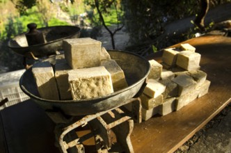
Antakya, Turkey. December 22rd 2013 Olive Oil Soap...
BRK26C17_423
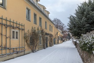
Historic wine houses with trellises on the snowy v...
BRK26C33_468
Fire trucks on a country road next to railroad tra...
BRK26C45_020
Cultivated apple (Malus domestica), Kohlenbacher a...
BRK26C07_075
Landscape scene at sunset with road, urban area an...
BRK26C22_203
Istanbul, Turkey. August 19th 2014 A small fishing...
BRK26C29_314
A tall wooden farm building or barn with a storks ...
BRK26C07_148
Snow-covered winter landscape with a village, fore...
BRK26C33_444
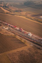
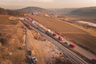
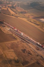
Emergency vehicle convoy on country road in vast, ...
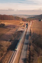
BRK26C33_443
A train travels on rails parallel to a country roa...
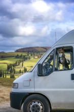
BRK26C20_290
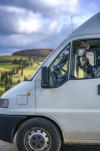
A camper van with a dog peering out the window, pa...
BRK26C21_081
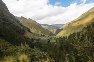
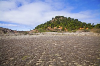
Captivating landscape of El Tanque, Tenerife, feat...
BRK26C20_292
A dog looking out of a camper van window, parked a...
BRK26C23_094
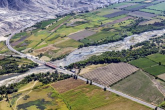
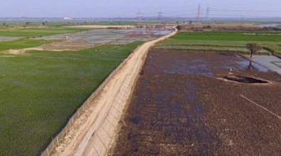
In an aerial view, people walk on a road cutting t...
BRK26C23_193
Aerial view of a city surrounded by green fields a...
BRK26C05_216
Scenic rural landscape view with a dirt road leadi...
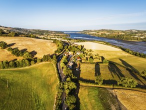
BRK26C11_473
A breathtaking aerial view of Swiss farmland with ...
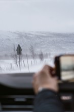
BRK26C15_170
A hand captures a snowy landscape from inside a ve...
BRK26C48_477
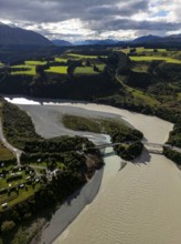
Farms and Fields over River Teign and Teignmouth R...
BRK26C11_472
A stunning aerial shot of a Swiss vineyard with ne...
BRK26C20_293
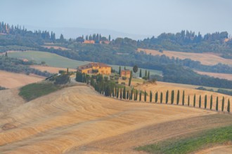
A stunning aerial view of the Val d Orcia in Tusca...
BRK26C26_272
Panorama, far-reaching view over green meadows, fi...
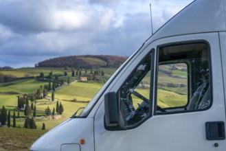
BRK26C20_274
A camper van parked in the scenic Tuscan countrysi...
BRK26C13_380
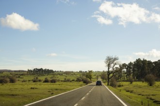
A car travels along a quiet country road under a c...
BRK26C23_206
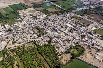
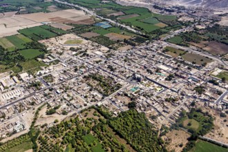
Aerial view of a city surrounded by agricultural l...
BRK26C27_464
Wide landscape with fields and forest under clear,...
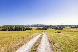
BRK26C10_084
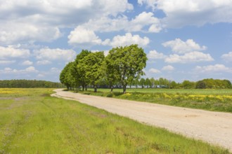
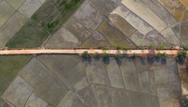
Aerial top-down view of a rural dirt road lined wi...
BRK26C33_449
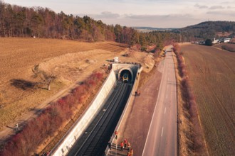
Aerial view of a railway tunnel next to a road and...
BRK26C33_465
Long row of emergency vehicles on country road wit...
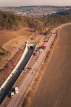
BRK26C33_459
Aerial view of a tunnel with emergency vehicles an...
- Page
-
- sur
- 42