3911 résultats pour : aerial line
- Page
-
- sur
- 40
Connectez-vous pour plus de résultats
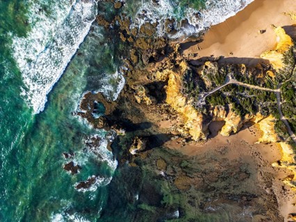
BRK26J73_434
Aerial image showcasing a rugged coastline with cr...
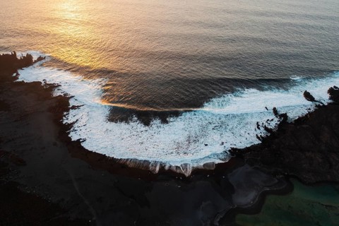
BRK26J86_282
Aerial photograph capturing the dramatic landscape...
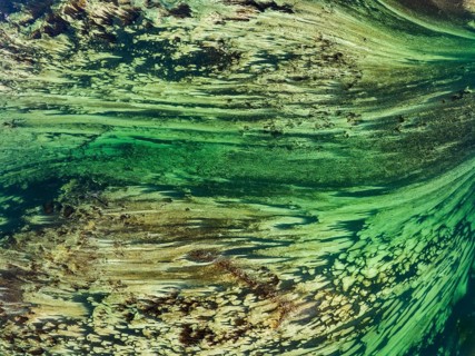
BRK26J68_437
Aerial photograph, top-down view of flow lines, st...
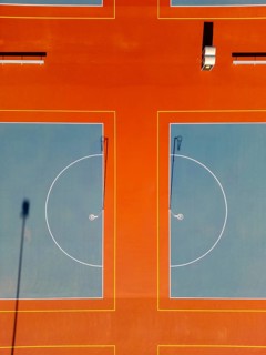
BRK26J95_364
From above, this aerial drone image captures vibra...
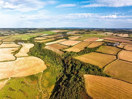
BRK26J52_424
Cliffs and Fields over Welcombe Mouth Beach from a...
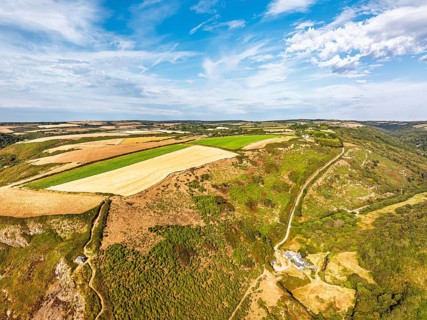
BRK26J53_050
Cliffs and Fields over Welcombe Mouth Beach from a...
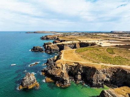
BRK26J56_124
Farms and Fields over Cliffs and Porthcothan Bay f...
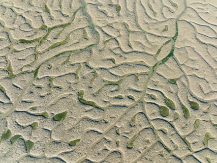
BRK26J80_104
Network of dry channels and streams at low tide, i...
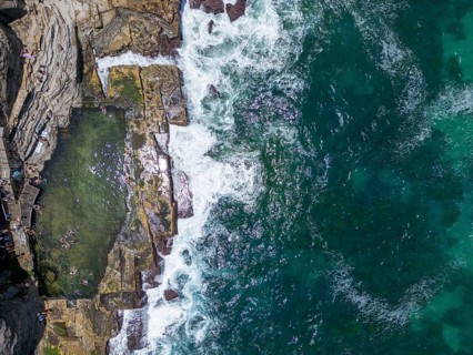
BRK26J94_045
Aerial view of rugged coastline in New South Wales...
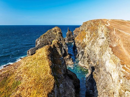
BRK26J58_084
View of cliffs over Gunver Head and Trevone Bay fr...
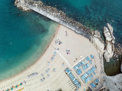
BRK26J71_450
Aerial shot capturing the pristine sandy beach and...
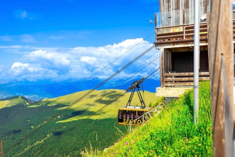
BRK26J63_056
Cable car transporting tourists up seceda mountain...

BRK26J84_266
Abstract image showcasing curved transparent lines...
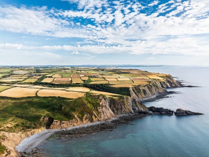
BRK26J52_461
Cliffs and Fields over Welcombe Mouth Beach from a...
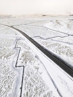
BRK26K02_104
Aerial view of a remote Icelandic winter landscape...
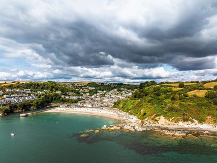
BRK26J56_170
Beach and Cliffs over Looe Bay from a drone, Looe,...
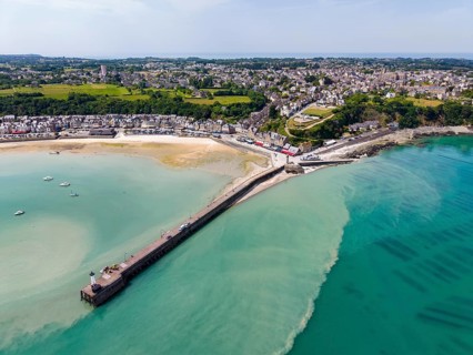
BRK26J62_484
Aerial view of the picturesque fishing village of ...
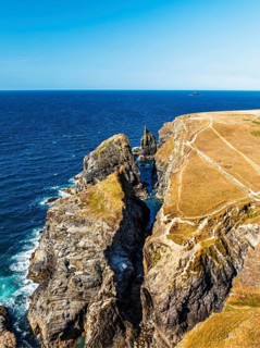
BRK26J92_330
View of cliffs over Gunver Head and Trevone Bay fr...
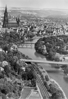
BRK26J58_377
Historical aerial view of Ulm Danube with Münster ...
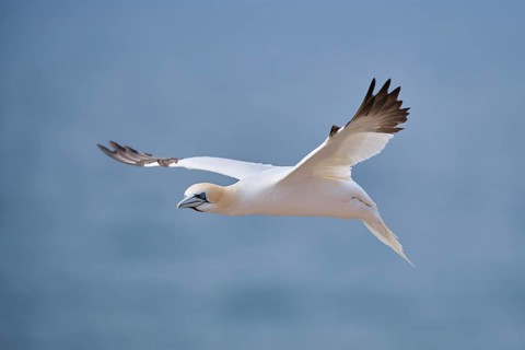
BRK26J94_175
Northern gannet (Morus bassanus) flying over the s...
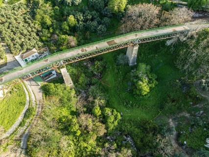
BRK26K01_354
Cycle path Via Verde Del Aceite, old railroad trac...
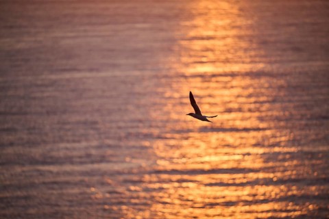
BRK26J67_306
Northern gannet (Morus bassanus) flying over the s...
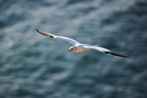
BRK26J73_102
Northern gannet (Morus bassanus) flying over the s...
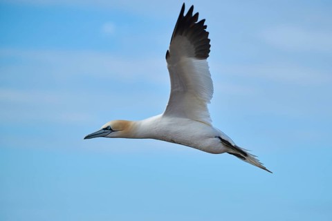
BRK26K00_365
Northern gannet (Morus bassanus) flying in the sky...
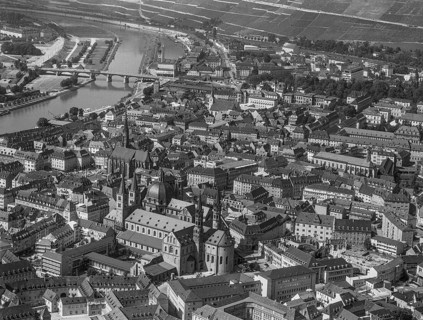
BRK26J66_106
Würzburg, historical aerial photos from 1961. Würz...
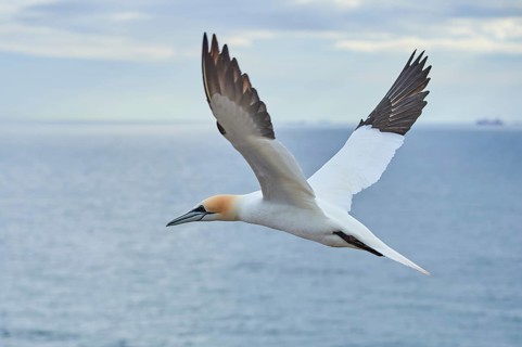
BRK26J79_325
Northern gannet (Morus bassanus) flying over the s...
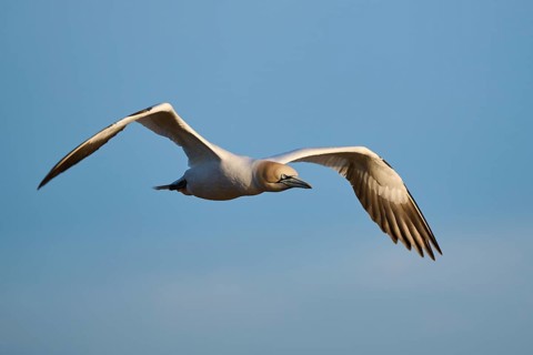
BRK26J67_494
Northern gannet (Morus bassanus) flying in the sky...
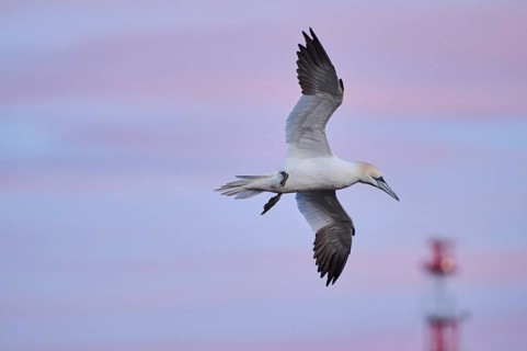
BRK26J76_209
Northern gannet (Morus bassanus) flying in the sky...
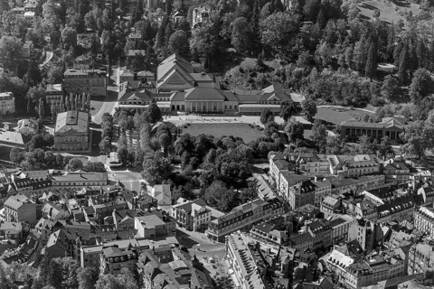
BRK26J87_065
Baden Baden, historical aerial photos from 1960. B...
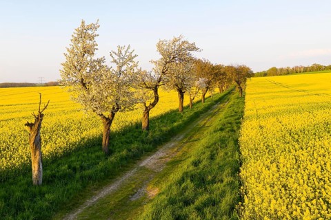
BRK26J68_144
Alley with blossoming fruit trees between rape fie...
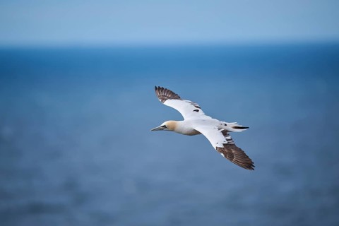
BRK26J83_223
Northern gannet (Morus bassanus) flying over the s...
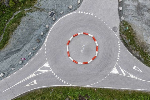
BRK26K00_254
Aerial top-down view of a roundabout, center marke...
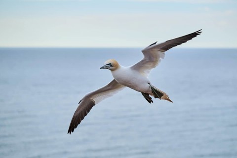
BRK26J66_474
Northern gannet (Morus bassanus) flying over the s...
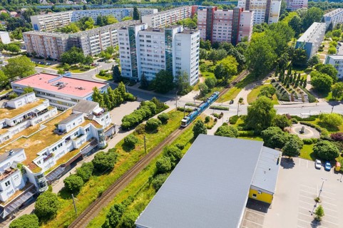
BRK26J69_141
Aerial view of the tram route through Coswig, Saxo...
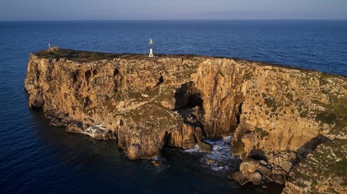
BRK26J59_494
Drone shot, majestic rock walls of an island with ...
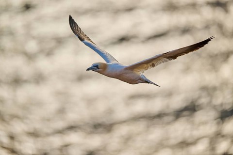
BRK26J69_345
Northern gannet (Morus bassanus) flying over the s...
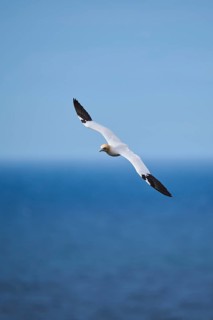
BRK26J84_498
Northern gannet (Morus bassanus) flying over the s...
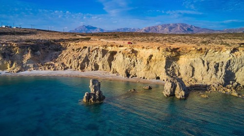
BRK26J68_355
Extensive cliffs with rocks in the calm sea under ...
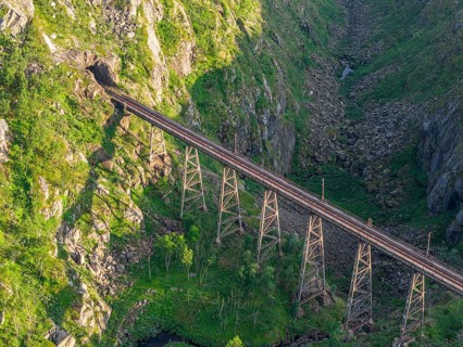
BRK26J73_252
Historic bridge Norddalsbrua, near railway station...
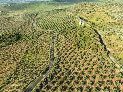
BRK26J86_230
Cycle path Via Verde Del Aceite (right), old railr...

BRK26J78_491
Northern gannet (Morus bassanus) flying over the c...
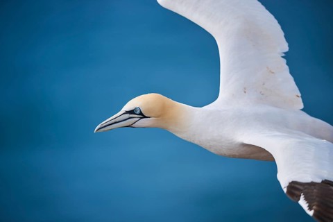
BRK26J88_249
Northern gannet (Morus bassanus) flying over the s...
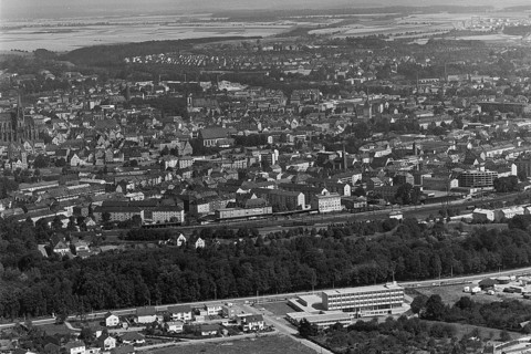
BRK26J59_409
Historical aerial view of Ulm Danube with Münster ...
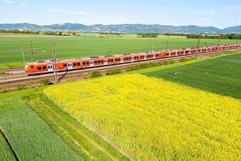
BRK26J39_420
Aerial view of the Rhein-Neckar S-Bahn DB Regio cl...
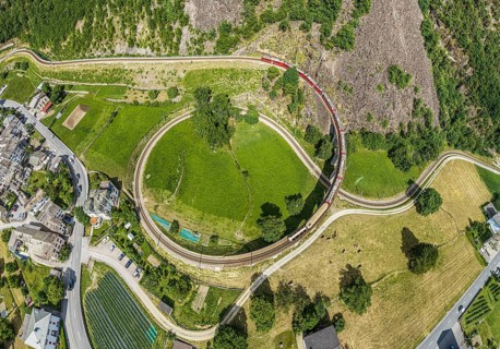
BRK26J06_458
Red train of the Rhaetian railroad line, Bernina E...
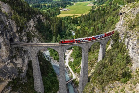
BRK26J10_485
Red train of the Rhaetian railroad line, Bernina E...
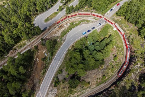
BRK26J14_348
Red train of the Rhaetian railroad line, Bernina E...
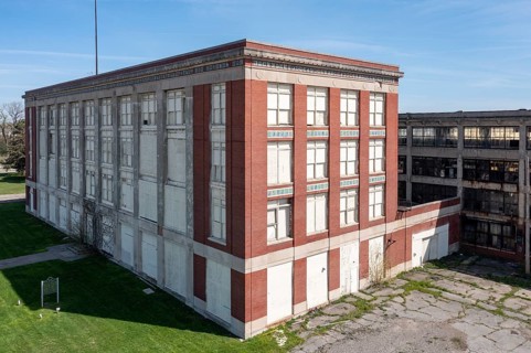
BRK26J17_424
Highland Park, Michigan - The administration build...
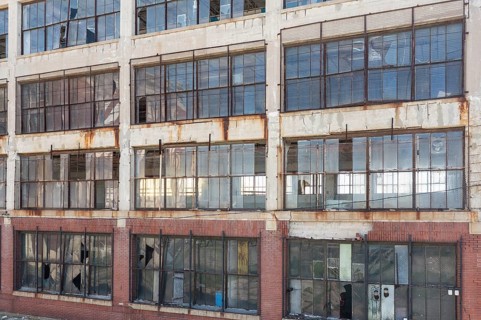
BRK26J18_085
Highland Park, Michigan - The remains of Ford's Hi...
BRK26J42_462
Aerial view, street village, village, marsh, moor,...
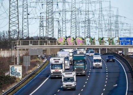
BRK26J21_072
A57 motorway near Kaarst in the Rhine district of ...
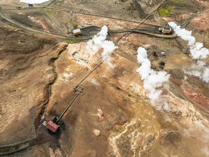
BRK26J38_297
Aerial view of Bjarnarflag power plant, geothermal...
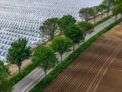
BRK26J17_483
Agriculture, large areas with foil tunnel, for the...
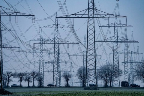
BRK26J39_202
Large power line, 380 KV extra-high voltage lines,...
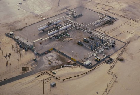
BRK26J39_259
Oil industry in the Ras Tanura area, Saudi Arabia,...
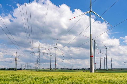
BRK26J26_325
Wind farm north-east of Marsberg, Hochsauerlandkre...
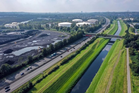
BRK26J20_428
Bottrop, North Rhine-Westphalia, Germany - The Ems...
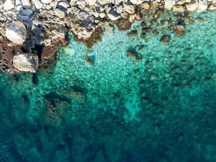
BRK26J45_214
Aerial view of the clear turquoise Mediterranean S...
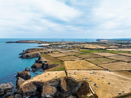
BRK26J07_386
Farms and Fields over Cliffs and Porthcothan Bay f...
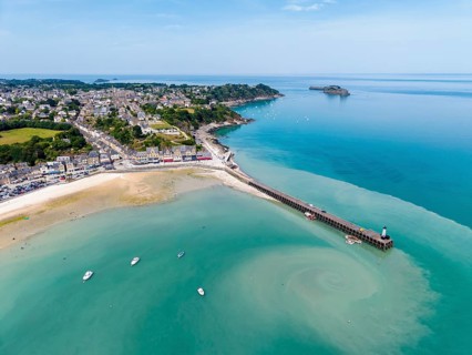
BRK26J14_276
Aerial view of the picturesque fishing village of ...
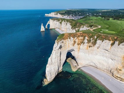
BRK26J41_467
Aerial view of the rock gate La Manneporte rock ga...
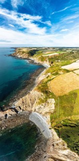
BRK26J07_311
Cliffs and Farms over North Devon and Cornwall Coa...
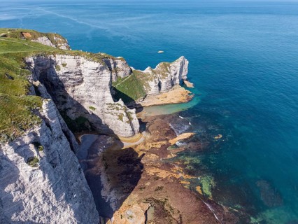
BRK26J18_331
Aerial view of the Falaise d'Amont rock formation ...
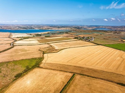
BRK26J06_451
View of Fields and Farms over Cliffs and Trevone B...
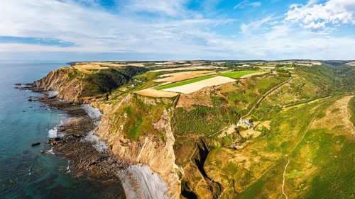
BRK26J04_308
Cliffs and Fields over Welcombe Mouth Beach from a...
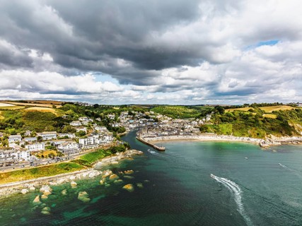
BRK26J11_333
Beach and Cliffs over Looe Bay from a drone, Looe,...

BRK26J46_254
A power line, overhead line, electricity, electric...
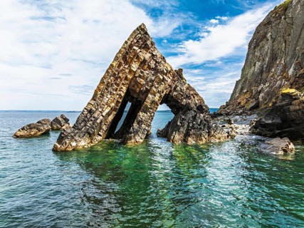
BRK26J04_090
Blackchurch Rock and Cliffs over Mouthmill Beach f...
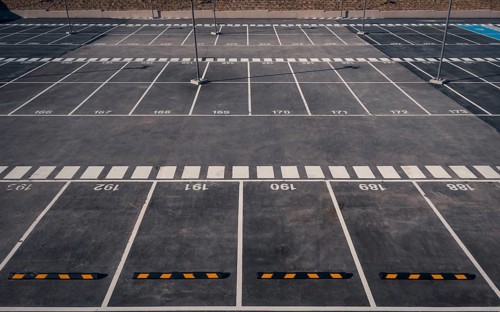
BRK26J40_033
Aerial view of an empty parking lot in Valdebebas,...
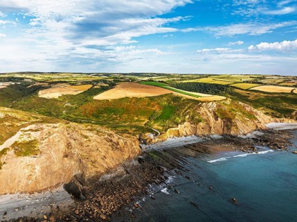
BRK26J03_085
Cliffs and Fields over Welcombe Mouth Beach from a...
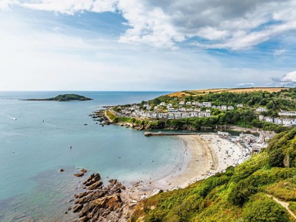
BRK26J05_265
Beach and Cliffs over Looe Bay from a drone, Looe,...
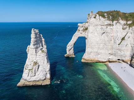
BRK26J27_105
Aerial view of the Porte d'Aval rock formation, a ...
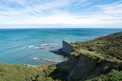
BRK26J30_417
A panoramic view of a vibrant seascape, featuring ...
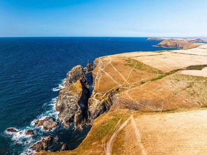
BRK26J10_312
View of cliffs over Gunver Head and Trevone Bay fr...
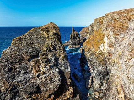
BRK26J14_450
View of cliffs over Gunver Head and Trevone Bay fr...
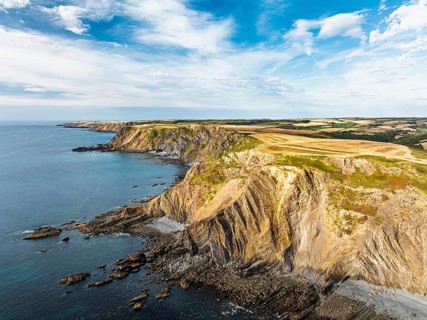
BRK26J03_071
Cliffs and Fields over Welcombe Mouth Beach from a...
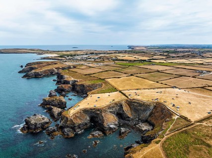
BRK26J08_243
Farms and Fields over Cliffs and Porthcothan Bay f...
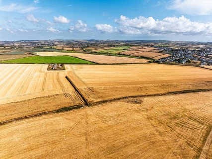
BRK26J03_246
View of Fields and Farms over Cliffs and Trevone B...
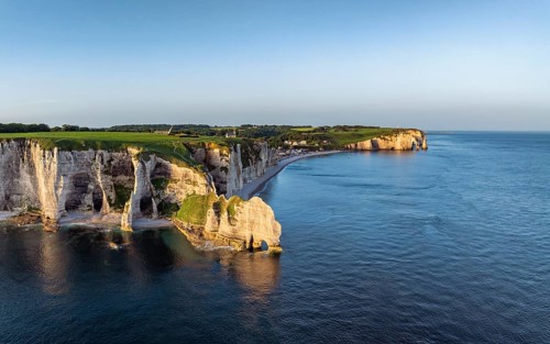
BRK26J07_392
Aerial view of the Porte d'Amont rock formation, F...
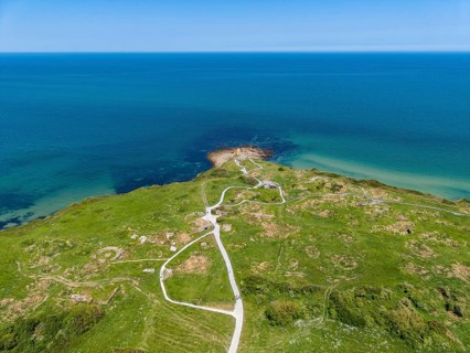
BRK26J14_217
Aerial view of the historic Pointe du Hoc headland...
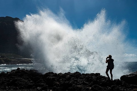
BRK26J52_042
Silhouette of a woman taking picture and a huge wa...
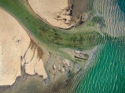
BRK26J38_499
Aerial photograph, top down view of the Radolfzell...
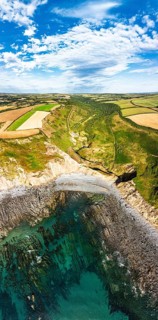
BRK26J05_283
Cliffs and Farms over North Devon and Cornwall Coa...
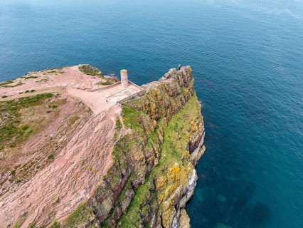
BRK26J14_385
Aerial view of the rocky cliffs at Cap Fréhel with...
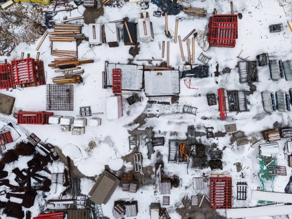
BRK26J31_182
High angle aerial view of a construction site or i...
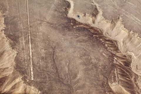
BRK26J45_073
Patterns and lines in a desert landscape viewed fr...
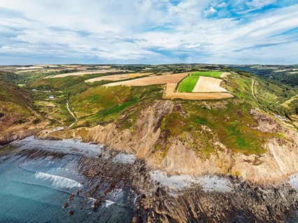
BRK26J10_225
Cliffs and Fields over Welcombe Mouth Beach from a...
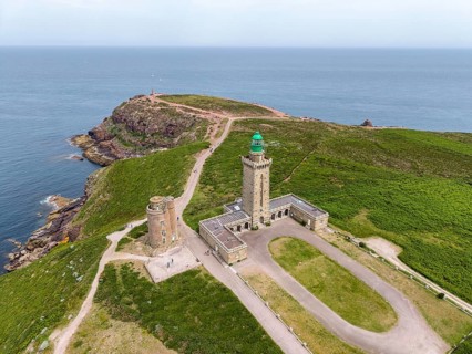
BRK26J18_359
Aerial view of the imposing reddish sandstone and ...
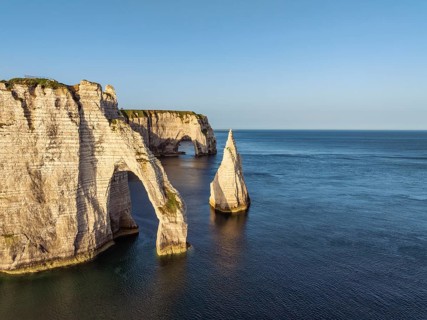
BRK26J08_220
Aerial view of the Porte d'Aval rock formation wit...
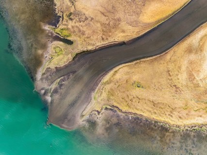
BRK26J36_338
Aerial view, top-down view of the Radolfzell Aache...
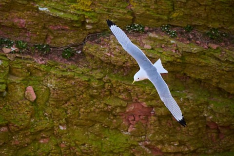
BRK26J39_204
Common gull or sea mew (Larus canus) flying over t...
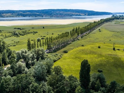
BRK26J11_084
The 1, 300 meter long poplar alley on Reichenauer ...
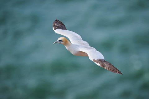
BRK26J19_269
Northern gannet (Morus bassanus) flying over the s...
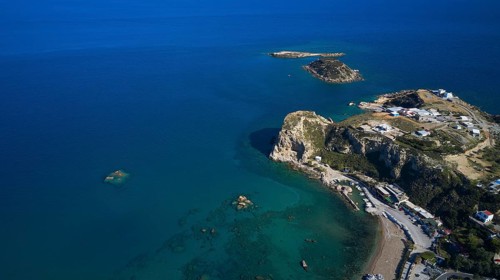
BRK26J33_220
Drone shot, coastal landscape with steep cliffs an...
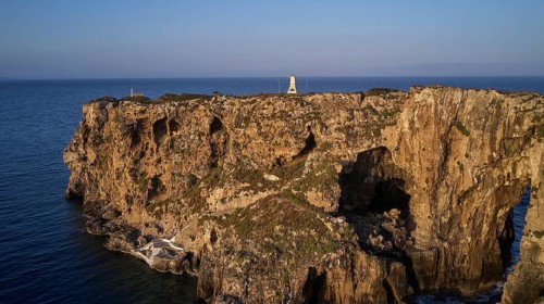
BRK26J21_367
Drone shot, cliffs with lighthouse on rocky platea...
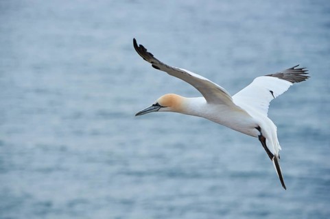
BRK26J42_417
Northern gannet (Morus bassanus) flying over the s...
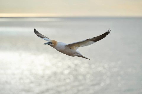
BRK26J25_400
Northern gannet (Morus bassanus) flying over the s...
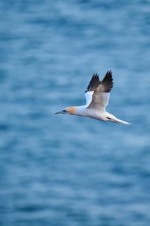
BRK26J48_116
Northern gannet (Morus bassanus) flying over the s...
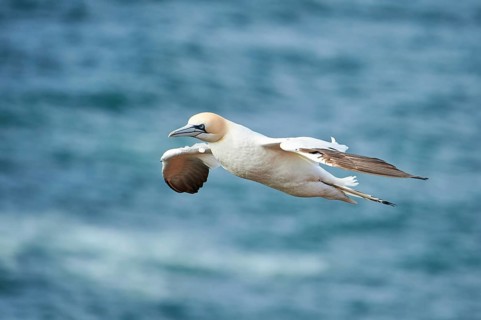
BRK26J41_131
Northern gannet (Morus bassanus) flying over the s...
BRK26J06_188
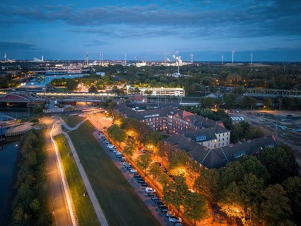
Aerial view of the Veddel district with brick buil...
- Page
-
- sur
- 40