Légende
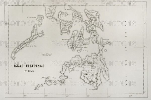
Map of the Philippine islands (Spanish colonial period). Mindanao Island, Visayan Islands and Letye Island. Engraving. Cronica General de Espana, Historia Ilustrada y Descriptiva de sus Provincias (General Chronicle of Spain, Illustrated and Descriptive History of its Provinces), Philippines, 1871.
Date
1871
Crédit
Photo12/Universal Images Group
Notre référence
UMG25A35_321
Licence
Droits gérés
Format disponible
46.8Mo (3.4Mo) / 42.0cm x 27.9cm / 4961 x 3295 (300dpi)