Sujet
Vintage Maps / Antique Maps
Légende
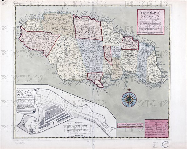
Vintage Maps / Antique Maps - A new map of Jamaica; in which the several towns, forts, & settlements are accurately laid down, as well as the situations & depths of the most noted harbours and anchoring places ca. 1771
Crédit
Photo12/Universal Images Group
Notre référence
UMG22A06_110
Licence
Droits gérés
Format disponible
15.8Mo (1.4Mo) / 22.3cm x 17.8cm / 2635 x 2100 (300dpi)