Sujet
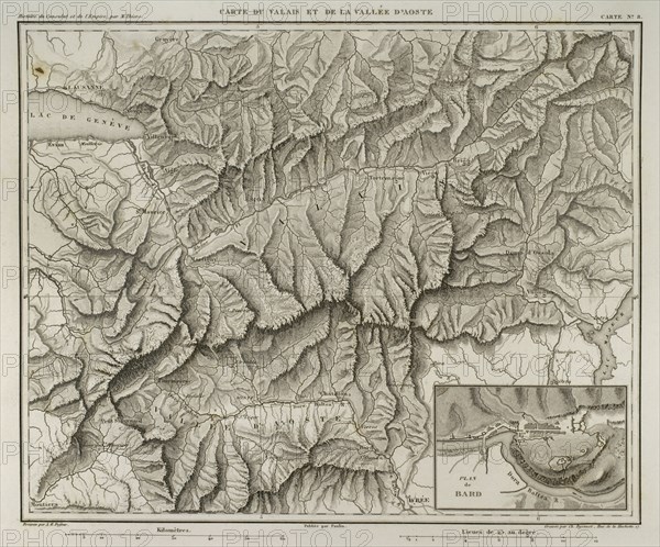
Napoleonic map of Valais and Aosta Valley.
Légende
Napoleonic map of Valais (Switzerland) and Aosta Valley (Northern Italy). Atlas de l'Histoire du Consulat et de l'Empire. History of the Consulate and the Empire of France under Napoleon by Marie Joseph Louis Adolphe Thiers (1797-1877). Drawings by Dufour, engravings by Dyonnet. Edited in Paris, 1864.
Date
1864
Crédit
Photo12/UIG/PHAS
Notre référence
UMG21A14_494
Licence
Droits gérés
Format disponible
47.9Mo (3.4Mo) / 38.0cm x 31.6cm / 4488 x 3732 (300dpi)