Sujet
Eastern Seaboard in 1863 1863
Légende
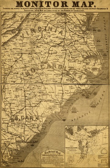
Monitor map, showing the whole seacoast from Chesapeake Bay, down to Savannah harbor, and the whole country between Richmond & Savannah, with map on large scale of the harbor of Charleston.
Date
1863
Crédit
Photo12/Universal Images Group
Notre référence
UMG20A03_036
Model release
NA
Property release
NA
Licence
Droits gérés
Format disponible
48.9Mo (6.1Mo) / 28.4cm x 43.2cm / 3351 x 5100 (300dpi)