Sujet
North America & the West Indies (Sean Just shift the map over to eliminate the white line) 1774
Légende
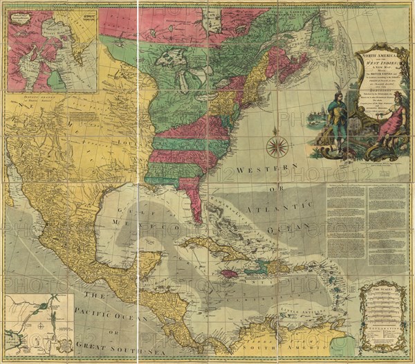
North America, and the West Indies; a new map, wherein the British Empire and its limits, according to the definitive treaty of peace, in 1763, are accurately described, and the dominions possessed by the Spaniards, the French, & other European States
Crédit
Photo12/Universal Images Group
Notre référence
UMG20A01_329
Model release
NA
Property release
NA
Licence
Droits gérés
Format disponible
65.3Mo (8.7Mo) / 43.2cm x 37.9cm / 5100 x 4472 (300dpi)