Sujet
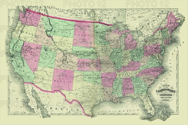
Map of the United States Territories 1872
Légende
In 1872, the United States appeared very different than today. Oklahoma was "Indian Territory" and North and South Dakota was one state.
Date
1872
Crédit
Photo12/Universal Images Group
Notre référence
UMG20A00_223
Model release
NA
Property release
NA
Licence
Droits gérés
Format disponible
17.2Mo (2.3Mo) / 25.4cm x 16.9cm / 3000 x 2000 (300dpi)