Sujet
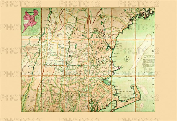
Map of the Most Inhabited Part of New England 1774
Légende
Map of the Most Inhabited Part of New England 1774
Crédit
Photo12/Universal Images Group
Notre référence
UMG20A00_047
Model release
NA
Property release
NA
Licence
Droits gérés
Format disponible
20.1Mo (2.0Mo) / 27.1cm x 18.6cm / 3200 x 2200 (300dpi)