Légende
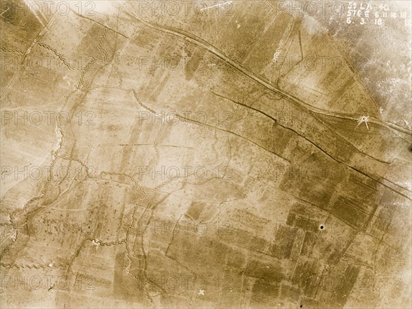
Aerial view of a front line trench. One of a series of British aerial reconnaissance photographs recording the positions of trenches on the Western Front during the First World War. A small white circle on the main road indicates the explosion point of a mine and a front line trench, probably British, runs north to south, protected by a belt of barbed wire. Nord-Pas de Calais or Picardie, France, 6 March 1918., Nord-Pas de Calais, France, Western Europe, Europe .
Crédit
Photo12/Universal Images Group
Notre référence
UMG12A10_040
Licence
Droits gérés
Format disponible
73.5Mo (4.4Mo) / 49.5cm x 37.2cm / 5844 x 4398 (300dpi)