Légende
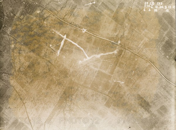
Aerial view of surrendered German territory. One of a series of British aerial reconnaissance photographs recording the positions of trenches on the Western Front during the First World War. A small white circle on the main road indicates the explosion point of a mine, apparently detonated by the German army when they surrendered territory to the British. Nord-Pas de Calais or Picardie, France, 6 March 1918., Nord-Pas de Calais, France, Western Europe, Europe .
Crédit
Photo12/Universal Images Group
Notre référence
UMG12A10_031
Licence
Droits gérés
Format disponible
74.3Mo (4.0Mo) / 50.1cm x 37.2cm / 5917 x 4389 (300dpi)