Légende
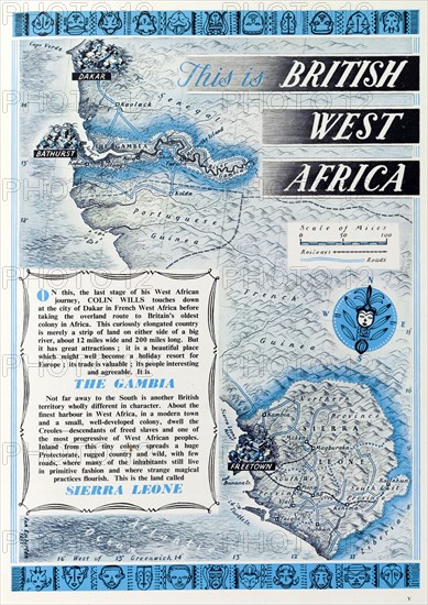
British map of Western Africa, 1952. A page taken from the 1952 'Empire Youth Album', entitled 'This is British West Africa', is illustrated with a scale map of the Gambia and Sierra Leone, together with text that describes both regions. Western Africa, 1952., Western Africa, Africa.
Crédit
Photo12/Universal Images Group
Notre référence
UMG12A07_107
Licence
Droits gérés
Format disponible
65.1Mo (5.2Mo) / 34.0cm x 48.0cm / 4015 x 5671 (300dpi)