Sujet
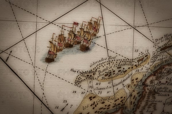
Close up of antique map of coastline of England with tall ships.
Légende
Close up of antique map of coastline of England with tall ships.
Info+
Photo Tom Grill
Date
2011
Crédit
Photo12/Tetra Images
Notre référence
TTM11A11_465
Model release
Non
Licence
Libre de droits
Format disponible
50.0Mo (1.9Mo) / 43.3cm x 28.9cm / 5120 x 3413 (300dpi)