Légende
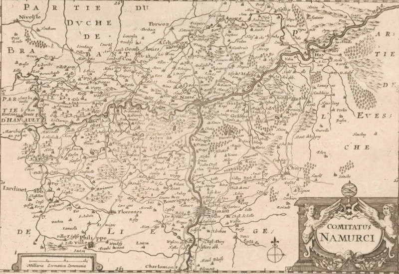
Map of the County of Namur, Comitatus Namurci, print, map, Map of the County of Namur. Title cartouche in the lower right. In the lower left a cartouche with scale bar: 3 Milliaria Germanica Communia. The map features a degree scale along the edges. Numbered to the left of the title cartouche: 24., printmaker, Pieter van der Slaart, Pieter van Alphen, Jacob Aertsz. Colom (I), paper, engraving, etching, height 154 mm x width 226 mm, This state of print also used in: De vyerighe colom klaer vertoonende in vyftich onderscheydene curieuse caarten de XVII. Nederlantsche Provincien (…). Amsterdam: Jacob Aertsz Colom (I), ca. 1660. And in later editions with the plates of this publication, published by Pieter van Alphen (1691) and Pieter van der Slaart (1696). Earlier state of print (without '24' bottom right) also used in earlier printings of this publication., maps of separate countries or regions, Namur (county), A sepia-toned historical map showing a densely labeled region with winding rivers, many small town and village names, clusters of tiny tree and hill icons indicating wooded and hilly areas, a variety of road and river lines connecting settlements, and decorative cartographic elements including an ornate title cartouche with sculpted figures and a compass rose.
Crédit
Photo12/Liszt Collection
Notre référence
LZT26B34_200
Licence
Droits gérés
Format disponible
58.2Mo (6.1Mo) / 46.1cm x 31.7cm / 5440 x 3740 (300dpi)