Légende
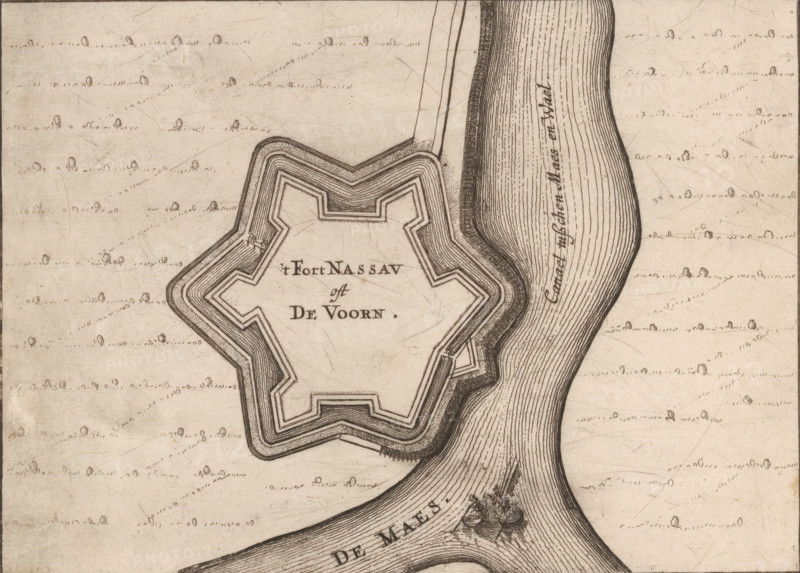
Fortress plan of Fort de Voorn, also known as Fort Nassau, 't Fort Nassau oft De Voorn, area plan, print, also known as Fort Nassau., printmaker: Nicolaes van Geelkercken, publisher: Jacob van Biesen, Arnhem, 1653 - 1672, Nicolaes van Geelkercken, Jacob van Biesen, printmaker, publisher, paper, etching, engraving, height 126 mm x width 172 mm, ships (in general), maps of cities, fortified city, Fort de Voorn, A hand-drawn map fragment showing a star-shaped fort with layered walls and angled bastions surrounded by patterned shading, positioned adjacent to a wide river with closely spaced parallel lines indicating water flow and a small boat with figures near a confluence; the surrounding land is lightly textured with scattered small rounded tree symbols and short dashed lines suggesting terrain, and the drawing uses fine ink lines and stippling throughout.
Crédit
Photo12/Liszt Collection
Notre référence
LZT26B34_189
Licence
Droits gérés
Format disponible
35.5Mo (8.8Mo) / 35.2cm x 25.2cm / 4160 x 2982 (300dpi)