Légende
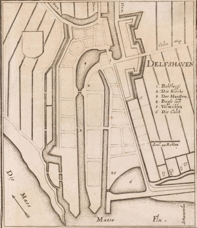
Fortress map of Delfshaven, Delfshaven, area plan, print, Top left an empty coat of arms. Right the title with a German legend 1-6 and a scale bar below it: Scal. 40 Ruhten., printmaker: Caspar Merian, Frankfurt am Main, after design by Johann Merck, 1654 - c. 1700, Hessen, paper, etching, height 181 mm, width 157 mm, Print used in: Zeiller, Martin. MZ Topographia Germaniae-Inferioris vel Circuli-Burgundici, 1659. Or in one of the two later editions of this publication which, although the year 1659 is mentioned therein as the year of publication, were published in ca. 1670 and ca. 1700 respectively., maps of cities, fortified city, Schiedam, A sepia-toned map fragment showing waterways, peninsulas, and fortified walls rendered with fine black lines and dashed parcel outlines, featuring curved and straight channels with textured hatch shading, angular bastion shapes, narrow docks, and elongated islands; rectangular plots and grid-like field patterns flank the waterways, and small building footprints appear near the edges; a decorative arrow indicating direction sits beside a riverbank with stippled shoreline texture, and numbered markers are placed within some water and land areas; the overall composition is enclosed by a thin border with delicate aging spots and paper texture.
Crédit
Photo12/Liszt Collection
Notre référence
LZT26B34_135
Licence
Droits gérés
Format disponible
46.5Mo (12.4Mo) / 31.8cm x 36.7cm / 3753 x 4334 (300dpi)