Légende
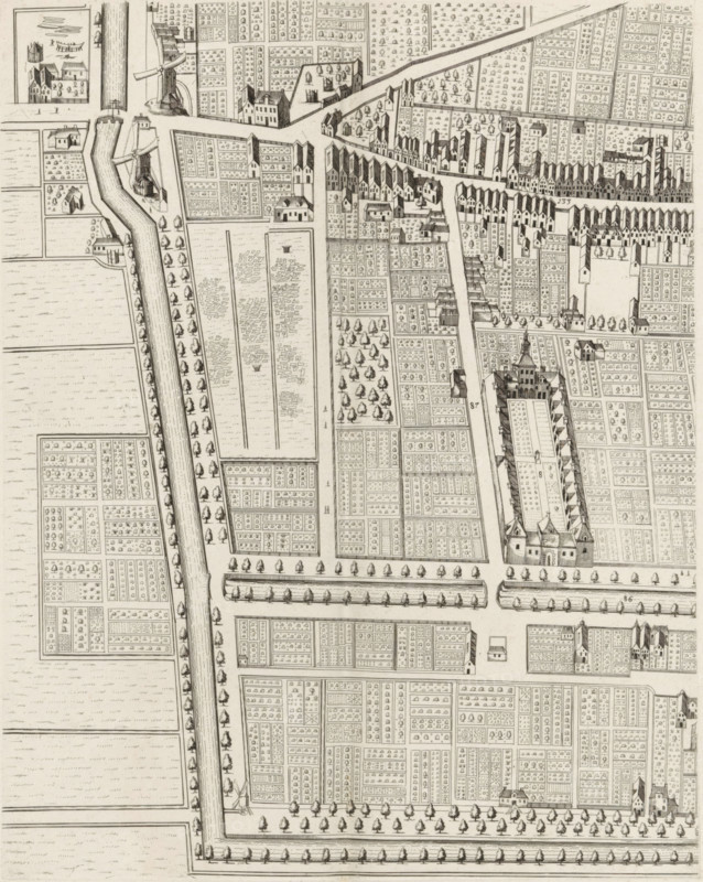
Plan of the figurative map of The Hague (fifth part), Plan of The Hague (fifth part), area plan, print, Fifth part of a plan of The Hague. Numbered top left: 5., check stamp: 'Archief Ministerie van Oorlog Afdeeling Genie', printmaker: Cornelis Elandts, The Hague, publisher: Nicolaes Visscher (II), Amsterdam, grantor of privilege: States of Holland and West Friesland, dedicated to: William III (Prince of Orange and King of England, Scotland, and Ireland), 1665 - 1667, 1681 - 1682, William III (Prince of Orange and King of England, printmaker, publisher, surveyor, cartographer, grantor of privilege, paper, etching, height 548 mm x width 651 mm, maps of cities, A detailed monochrome bird’s-eye view of an urban area with rectilinear plots and narrow streets, showing rows of small buildings with gabled roofs clustered along linear roads and canals, a large enclosed complex with towers and a central long hall, scattered standalone houses and farm structures, numerous small rectangular garden plots delineated by low hedges or fences and filled with patterned plantings, tree-lined avenues and rows of evenly spaced trees bordering st
Crédit
Photo12/Liszt Collection
Notre référence
LZT26B34_124
Licence
Droits gérés
Format disponible
50.4Mo (10.7Mo) / 31.7cm x 39.8cm / 3747 x 4702 (300dpi)