Légende
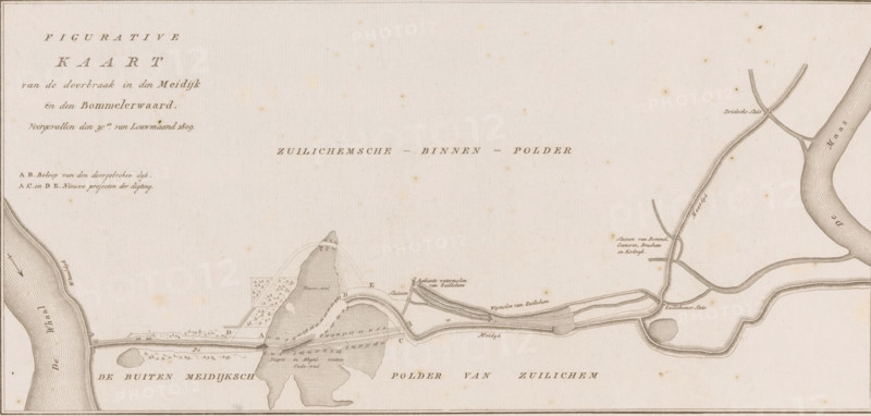
Map of dike breach in the Bommelerwaard, 1809, Figurative Map of the breach in the Meidijk in the Bommelerwaard, occurred on the 30th of January 1809, print, book illustration, map, printmaker, publisher, Amsterdam, Netherlands, paper, etching, height 276 mm x width 406 mm, A wide horizontal antique map printed in brown ink on aged cream paper showing a river entering from the right edge flowing toward the left with curving banks and textured hatch shading, a long narrow dike or road running roughly horizontally across the lower middle with patterned hatching and small structural details, irregularly shaped shaded marsh or island areas with fine parallel lines and stippling, several thin sinuous channels and canals branching from the main river with parallel line textures, small geometric plots and a few clusters of tiny tree-like symbols near the center, scattered small annotations in script style next to features, faint speckling and foxing across the paper, a thin decorative border around the sheet, and an open pale expanse in the upper portion of the sheet.
Crédit
Photo12/Liszt Collection
Notre référence
LZT26B33_073
Licence
Droits gérés
Format disponible
53.5Mo (10.4Mo) / 52.9cm x 25.3cm / 6253 x 2990 (300dpi)