Légende
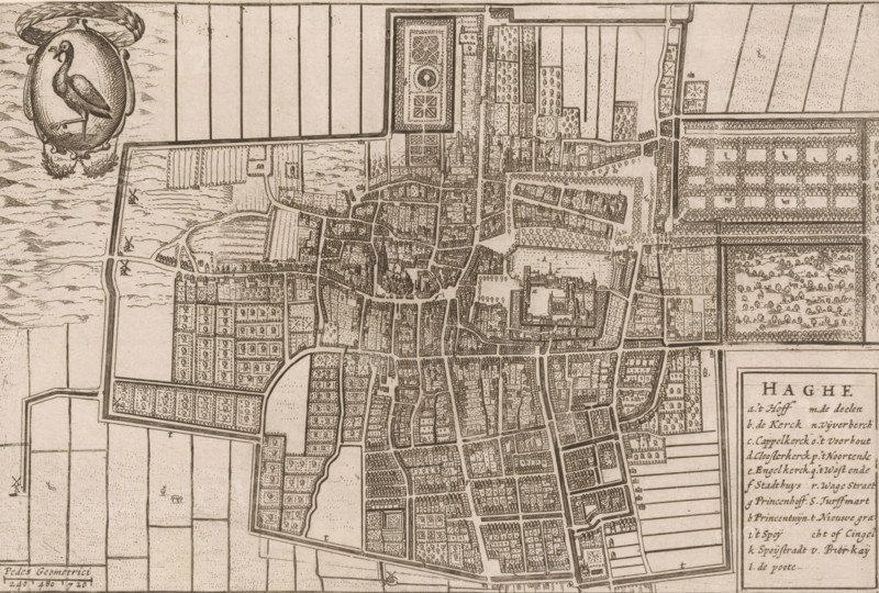
Haghe, Map of The Hague, area plan, print, 1650 - 1700, printmaker, paper, etching, height 151 mm x width 225 mm, maps of cities, The Hague, A detailed sepia-toned map showing a dense arrangement of streets and rectangular blocks with small building outlines and courtyard patterns, interspersed with larger enclosed areas that contain geometric garden layouts and rows of trees, surrounding walls and waterways that form irregular boundaries, a network of narrow canals and bridges cutting through the urban fabric, open fields and gridlike agricultural plots beyond the city limits, clusters of small windmill symbols near the outskirts, an ornate oval cartouche in a corner featuring a heron standing on one leg framed by decorative foliage, and a boxed legend panel along one edge containing columns of small handwritten entries.
Crédit
Photo12/Liszt Collection
Notre référence
LZT26B32_288
Licence
Droits gérés
Format disponible
58.3Mo (8.0Mo) / 46.5cm x 31.4cm / 5492 x 3711 (300dpi)