Légende
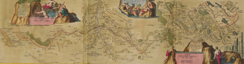
Map of the new canal from Pontgouin to Versailles, ca. 1693-1696, I. Partie du Nouveau Canal Fait pour la Conduite de la Riviere d'Eure depuis Pontgouin jusques a Versailles, II. Partie du Nouveau Canal Fait pour la Conduite de la Riviere d'Eure depuis Pontgouin jusques a Versailles, III. Partie du Nouveau Canal Fait pour la Conduite de la Riviere d'Eure depuis Pontgouin jusques a Versailles, print, album page, book illustration, Map of the new canal that carries water of the River Eure from Pontgouin to Versailles, ca. 1693-1696. With water nymphs and river gods. Print is part of an album., printmaker, publisher, colorer (graphic design artist), The Hague, Paris, France, paper, etching, hand coloring, etching hand-colored in pink, green, blue, and yellow, pasted onto an album page, surrounded by a yellow frame with a red border, height 202 mm x width 740 mm, height 536 mm x width 840 mm, Print originally produced as a book illustration for: Les forces de l'Europe, ou description des principales villes, avec leurs fortifications : dessignées par les meilleurs ingenieurs, particulierment celles ... de la France, dont les plans ont esté levez par M. de Vauban. Vol. 5, 1696., maps of separate countries or regions, canal, Versailles, Palace of Versailles, A wide, horizontal antique map printed on tan paper with hand-colored illustrations and drawn waterways, roads, hills, and scattered green tree symbols; decorative vignettes show classical-style figures draped in cloth posed near waterfalls and rocky outcrops, with one figure holding a staff and another pouring water from a vessel; several large rock formations are colored brown and orange and are integrated into cartouches and panels, one panel rendered as a rectangular stone block with a ledge; winding red lines trace routes across the map connecting named locations, and clusters of small buildings and field patterns appear near some waterways; delicate, handwritten place names in dark ink are dispersed across the
Crédit
Photo12/Liszt Collection
Notre référence
LZT26B23_446
Licence
Droits gérés
Format disponible
43.1Mo (11.1Mo) / 64.1cm x 16.8cm / 7573 x 1989 (300dpi)