Légende
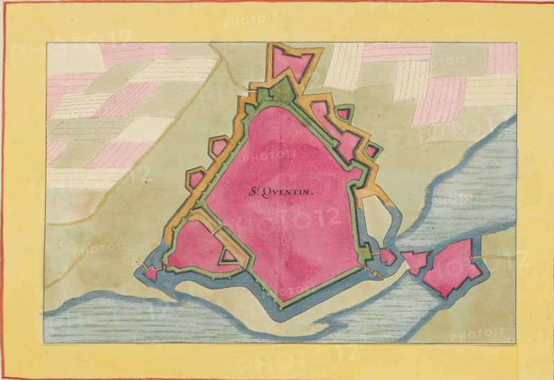
St. Quentin, Fortress map of Saint-Quentin, area plan, print, album page, This print is part of an album., after design by Matthäus Merian (II), publisher: Caspar Merian, Frankfurt am Main, colorer (graphic design artist): Anna Beeck, The Hague, 1656, printmaker, colorer (graphic design artist), Hessen, paper, engraving, etching, hand coloring, etching and engraving, hand colored, cut inside the plate edge and mounted in a hand-colored frame, height 184 mm x width 286 mm, height 532 mm x width 320 mm, A rectangular map with a wide yellow border and thin red inner edge contains a central irregular polygonal fortress area filled with solid pink and outlined with green and ochre fortification shapes, surrounded by blue waterways and sandy beige land. The land beyond the fort shows patchwork fields in muted pink and pale beige with dashed stitching-like lines, and a sinuous dotted path crosses a pale greenish area. Small detached bastion shapes in pink and ochre sit near the water, and shaded blue water textures with horizontal strokes appear along the lower and right edges inside the map. The fortress outline includes angular projecting bastions and inner green ramparts with small circular embrasure marks, and subtle paper texture and age spots are visible across the image.
Crédit
Photo12/Liszt Collection
Notre référence
LZT26B23_363
Licence
Droits gérés
Format disponible
39.4Mo (10.0Mo) / 37.9cm x 26.0cm / 4480 x 3075 (300dpi)