Légende
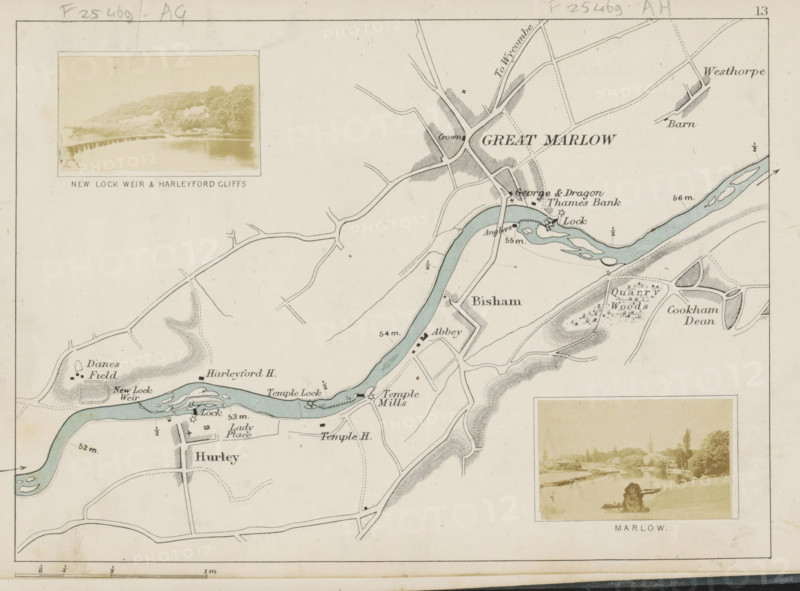
View of a weir in the Thames near Hurley, New Lock weir and Harleyford cliffs, photograph, page, photographer: Henry W. Taunt, Berkshire, 1871, paper, albumen print, height 30 mm x width 53 mm, river, sluice, weir, Thames, A section of a vintage map showing a winding blue river with light shading along its banks, surrounded by hand-drawn roads, fields, and shaded hills. There are small detailed illustrations of locks and weirs on the river, clusters of buildings and labeled areas marked on the map, and patterned textures indicating woods and quarry areas. Two sepia-toned photographic inserts are mounted on the map, each framed and depicting riverside scenes with trees and low structures. The map has a thin ruled border, faint pencil annotations near the top edge, and subtle age spots and paper discoloration.
Crédit
Photo12/Liszt Collection
Notre référence
LZT26B07_171
Licence
Droits gérés
Format disponible
40.5Mo (6.0Mo) / 37.0cm x 27.4cm / 4373 x 3235 (300dpi)