Légende
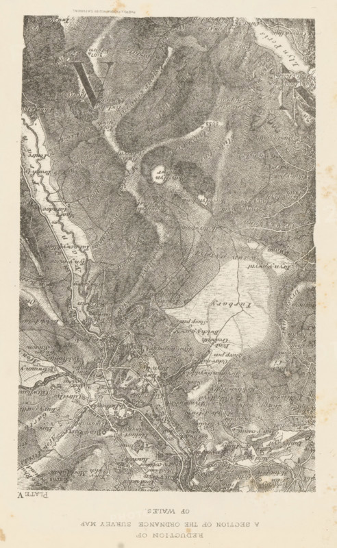
Reduction of a section of the ordnance survey map of Wales, Section of a map of Wales, page, photomechanical print, inscription: 'Plate V', cliché maker: S. Parkins, c. 1870 - in or before 1875, photographer, paper, lithography, height 150 mm x width 93 mm, maps, atlases, A vertically oriented detailed monochrome map with dense contour shading indicating hilly terrain, winding rivers and streams, a large irregular lake area, clustered road lines and small built-up areas, scattered isolated circular features, various curving paths and boundary lines, textured hill slopes and valleys, and small patches of lighter open ground against a pale background.
Crédit
Photo12/Liszt Collection
Notre référence
LZT26B02_142
Licence
Droits gérés
Format disponible
42.5Mo (6.2Mo) / 25.6cm x 41.6cm / 3022 x 4911 (300dpi)