Légende
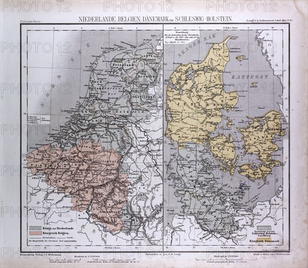
The Netherlands, Belgium, Danmark, Schleswig-Holstein, atlas by Th. von Liechtenstern and Henry Lange, antique map 1869
Date
1869
Crédit
Photo12/Liszt Collection/Quint Lox Limited
Notre référence
LZT16A02_284
Licence
Droits gérés
Format disponible
66.0Mo (5.1Mo) / 43.6cm x 38.0cm / 5144 x 4483 (300dpi)