Légende
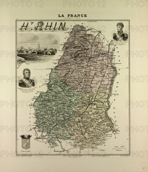
MAP OF HAUTE RHIN, 1896, FRANCE
Date
1896
Crédit
Photo12/Liszt Collection/Quint Lox Limited
Notre référence
LZT13A20_264
Licence
Droits gérés
Format disponible
65.1Mo (6.0Mo) / 37.5cm x 43.5cm / 4425 x 5141 (300dpi)
1896
LZT13A20_264
Droits gérés
65.1Mo (6.0Mo) / 37.5cm x 43.5cm / 4425 x 5141 (300dpi)