même sujet
Peleeconseq12
Sujet
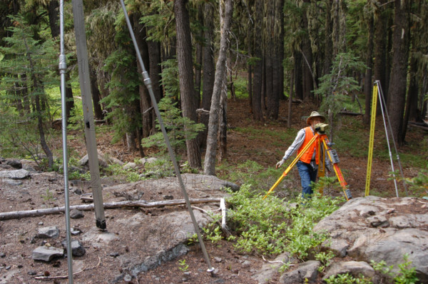
A USGS team conducts a leveling survey on a volcanic mountain on August 24, 2006. The process involves precise measurements to monitor any changes in the landscape due to seismic activity or geological shifts.
Info+
Photographe : CNP Collection
Crédit
Photo12/Alamy/CNP Collection
Notre référence
LMY25T03_D70EKB
Utilisation
uniquement en France
Model release
Non
Property release
Non
Licence
Droits gérés
Format disponible
17.2Mo (1.2Mo) / 25.5cm x 16.9cm / 3008 x 2000 (300dpi)