Sujet
Geological map of the Crimea, 1853. Creator: Unknown.
Légende
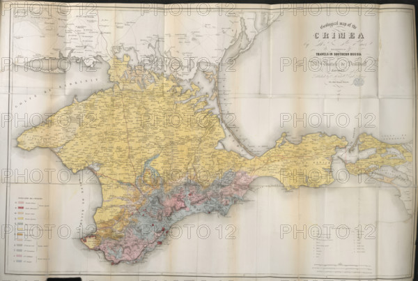
Geological map of the Crimea, 1853. A 19th century map showing the Gulfs of Kerkinit and Kalamita, the 'Putrid Sea', the Arabat Spit and the Kerch Strait. From Travels in Southern Russia, and the Crimea; through Hungary, Wallachia, & Moldavia, during the year 1837.
Crédit
Photo12/Heritage Images/Heritage Art
Notre référence
HRM25A23_395
Model release
NA
Property release
NA
Licence
Droits gérés
Format disponible
47.4Mo (3.5Mo) / 42.0cm x 28.3cm / 4960 x 3338 (300dpi)