Légende
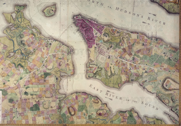
Plan of the City of New York, in North America: Surveyed in the Years 1766 & 1767. Map of the southern half of Manhattan and part of Brooklyn, showing the East River and the Hudson.
Date
1767
Crédit
Photo12/Heritage Images/Heritage Art
Notre référence
HRM25A16_224
Model release
NA
Property release
NA
Licence
Droits gérés
Format disponible
30.0Mo (2.4Mo) / 32.8cm x 22.9cm / 3876 x 2701 (300dpi)