Légende
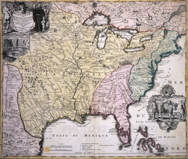
Map of North America, late 17th-early 18th century. Map in French and Latin showing the states of Louisiana, Florida and others, with illustrations of the Niagara Falls, and Native Americans with a buffalo, looking more like a Highland bull.
Date
1690
Crédit
Photo12/Heritage Images/Heritage Art
Notre référence
HRM25A14_239
Model release
NA
Property release
NA
Licence
Droits gérés
Format disponible
49.9Mo (6.8Mo) / 38.4cm x 32.6cm / 4538 x 3846 (300dpi)